PBS
Earthquakes and Volcanoes
Earth's surface constantly changes thanks to a variety of geological forces; in fact, Australia currently moves faster than GPS technology. Scholars connect the idea of continental drift to earthquakes and volcanoes with the help of an...
Curated OER
Earthquakes In Your State
In this earthquake instructional activity students complete an interactive activity then answer a series of short answer questions on different earthquakes and their magnitude, and epicenter.
Curated OER
Musical Plates-Earthquakes
In this plotting earthquake data worksheet, students use a large world map and given web sites showing the latitude and longitude for the epicenter of recent earthquakes around the world. Students plot 2 weeks of earthquake data...
Curated OER
Student Exploration: Building Topographic Maps
In this earthquake exploration learning exercise, students complete 2 prior knowledge questions, then use "Building Topographic Maps Gizmo" to conduct several activities, completing short answer questions when finished.
Curated OER
Anatomy of an Earthquake
In this earthquake worksheet, students read and study earthquake maps and statistics. They complete 8 short answer questions that follow.
NOAA
Subduction Zones
Sink into an interactive learning experience about subduction zones! Junior oceanographers examine the earth-shaking and earth-making effects of subduction in the fourth installment in a 13-part series. Hands-on activities include...
Curated OER
Show What You Know!
In this earthquakes worksheet, students create a brochure, poster, or other form of presentation to show what they know about earthquakes. Students complete 4 sections.
Curated OER
Tsunami Waves
In this tsunami waves worksheet, students explore data from the Indonesian tsunami of 2004 and answer ten questions about the data. They draw conclusions about the devastation and destruction based on the amplitude and speed of the tsunami.
Curated OER
English Vocabulary Skills: AWL Sublist 10 - Exercise 1b
In this online interactive English vocabulary skills worksheet, students answer 10 matching questions which require them to fill in the blanks in 10 sentences. Students may submit their answers to be scored.
US Geological Survey
U.s. Geological Survey: Real Time Earthquake Map
An interactive, real-time map showing current earthquakes happening all over the world. Students may choose options for which earthquakes to display by age, depth, magnitude, or intensity.
Incorporated Research Institutions for Seismology
Iris: Earthquake Browser
A live, real-time data global map of all current earthquake activity.
US Geological Survey
U.s. Geological Survey: Search Earthquake Catalog
Use this interactive map to find out about earthquakes which have happened around the world since about 1970.
Smithsonian Institution
National Museum of Natural History: Global Volcanism Program: This Dynamic Planet
Interactive activity that allows the learner to make their own regional map using layers of their choice such as volcanoes, craters, plate tectonics, or earthquakes. This map of the Earth zooms in and out, highlights essential processes,...
Incorporated Research Institutions for Seismology
Iris: Long Valley Caldera
Long Valley Caldera area has had a history of eruptions and earthquake swarms. Learn more with this interactive map that reveals geology, eruptions, earthquakes, and more.
Smithsonian Institution
National Museum of Natural History: This Dynamic Planet
Research and explore past earthquake and volcanic activity on this interactive world map. User can manipulate which notable events and other map characteristics to view depending on the type of study being done.
PBS
Pbs: Anatomy of a Tsunami
Scientists used maps and seismic data to produce a computer simulation that accurately shows the creation of the wave that shook the world. In this interactive, examine some of the models and images that reveal details of the tsunami...
NASA
Nasa: Earth Science Games
Have fun while exploring earth science. NASA offers seven games online games: Droplet and the Water Cycle, What on Earth?, Word Puzzles, Drag 'n Drop Puzzles, Pangaea Map Game, Tectonics Quiz, and Color Me!
Incorporated Research Institutions for Seismology
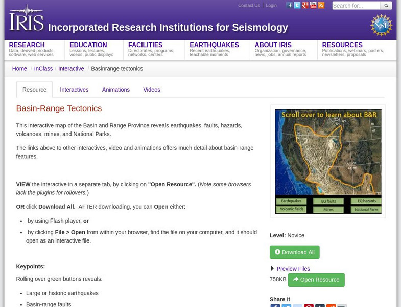
Iris: Basin Range Tectonics
This interactive map of the Basin and Range Province reveals earthquakes, faults, hazards, volcanoes, mines, and National Parks.
Math Science Nucleus
I. Science Ma Te: Integrating Science, Math and Technology
This site offers a wealth of online textbook-related materials that encourage the discovery of science in the world around us. Enter the site to access material on specific topics. Each section contains reading material (complete with...


