Utah Education Network
Uen: Lesson Plan: Maps and Me
Lesson to reinforce basic map skills. Learners discuss Me on the Map by Joan Sweeney, work in groups to create maps of the classroom, and use these maps to hunt for treasure.
National Geographic
National Geographic: Geographic Groceries
This site provides activities and lesson plans for all age levels on mapping.
Utah Education Network
Uen: Lesson Plan: Fairy Tale Maps
Lesson designed to introduce maps and the cardinal directions. After listening to the teacher read aloud or tell the story of Little Red Riding Hood, students retell the story and use cutouts of landmarks and arrows to create a map of...
HotChalk
Hot Chalk: Lesson Plans Page: Birdseye View, Mapping
Lesson that helps students understand that maps show a "birds-eye view" of a place. Students stand above a teacher-made model and discuss how the objects in the model looked from above. Then students draw objects from a birds-eye view,...
Texas Education Agency
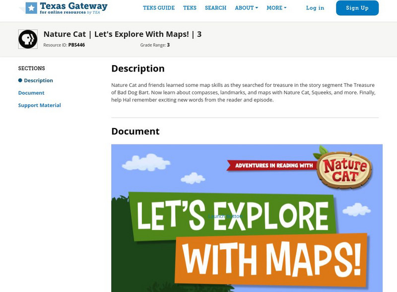
Texas Gateway: Nature Cat: Let's Explore With Maps!: Grade 3
Nature Cat and friends learned some map skills as they searched for treasure in the story segment "The Treasure of Bad Dog Bart". Learn about compasses, landmarks, and maps with Nature Cat, Squeeks, and more. Finally, help Hal remember...
Better Lesson
Better Lesson: Comparing and Contrasting Our Stories With a Double Bubble Map
Young scholars will identify the similarities and differences between different versions of fictional stories by completing a double bubble map. Included in this lesson are teacher questions, a bubble map printable, a video of a class...
Utah Education Network
Uen: Lesson Plan: Map Trap
Lesson to reinforce maps skills and concepts. Students map locations around their school and use world maps to locate major landmarks.
Annenberg Foundation
Annenberg Learner: Journey North: A Global Study of Wildlife Migration and Seasonal Change
Join teachers and students all over the country in observing the migratory patterns of birds and butterflies and the growth changes of plants as the climate changes. "Journey North" offers a wealth of resources to use as you investigate...
American Geosciences Institute
American Geosciences Institute: Earth Science Week: Mapping Vertical Movements
Using flubber and plastic wrap, learners study the Earth's crust and mantle.
US Geological Survey
U.s. Geological Survey: Map Your Schoolyard
Lesson plan introduces the concept of maps while providing a forum to practice the skill of navigating using a map.
Other
Chaim Potok: Maps of Meaning
Read about a speech, given by Chaim Potok, at Seattle Pacific University, in which Potok discusses his novels and their cultural and religious messages. "A Conversation with Chaim Potok," includes Potok's responses to several questions...
PBS
Pbs Teachers: Scientific American: Make Up Your Mind: Mind Mapping
Investigate the pseudoscience of phrenology and its attempt to organize and assign different purposes to different parts of the brain. Create a phrenology chart on a bathing cap and compare it to modern understanding of brain function...
American Geosciences Institute
American Geosciences Institute: Earth Science Week: Mapping the Atmosphere
Students explore weather maps to study the atmosphere.
Utah Education Network
Uen: Mapping It Out
Learn about Utah's environments, temperature, elevation, and rainfall.
PBS
Pbs Teachers:wild Places: Follow Your Nose
Explore the migration behavior of various animals, and investigate the sense of smell as a tracking device for these migrations. Emulate salmons by following and scented path, and construct a map of the "river" as you head "upstream."
REMC Association of Michigan
Remc Association of Michigan: 21 Things4 Students: 12. Interactives
Interactive websites are designed to help you learn through simulations and interaction. Here you will be learning about interactive websites such as Google Maps and Quizlet through a series of three quests. Text sections are available...
PBS
Pbs Learning Media: Library of Congress: Media Gallery | Women's Suffrage
This collection of primary source documents from the Library of Congress supports teaching about women's suffrage in the United States. These primary sources include images, song sheets, articles, statistical documents, maps, political...
E-learning for Kids
E Learning for Kids: Math: Group of Pyramids: Capacity and Position
On this interactive website students practice various math skills using a real life scenario at the pyramids. Those skills include comparing capacity of three or more containers, using compass directions to describe locations, and using...
E Reading Worksheets
E Reading Worksheets: The Odyssey
In this learning module, students will engage in a deep study of The Odyssey. Worksheets, tests, and map projects are provided to reinforce comprehension of Homer's epic poem, The Odyssey. This module is designed to support Tier I, Tier...
E Reading Worksheets
E Reading Worksheets: The War of the Worlds
In this learning module, students will engage in a deep study of H.G. Wells' The War of the Worlds. Worksheets, tests, and map projects are provided to reinforce comprehension of The War of the Worlds. This module is designed to support...
Alabama Learning Exchange
Alex: Expository Essay: State Trip
After researching a place/event of interest in Alabama, students write a five-paragraph essay. Students include maps and written directions to the location, describe activities and/or events associated with this location, include in this...
PBS
Pbs Learning Media: Montana: The Borders of Montana
Students will study a map of Montana's terrain, learn about natural and manmade boundaries, label the major features of the state, and pick which area of Montana would be best for settlement and explain why.
American Geosciences Institute
American Geosciences Institute: Earth Science Week: Third From the Sun
Students learn about the history of Earth imaging, the Landsat satellite program. They develop interpretation skills as they play a game that involves inferring the subjects of various Landsat images.
TeachEngineering
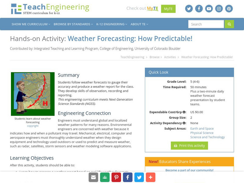
Teach Engineering: How Predictable!
Students follow weather forecasts to gauge their accuracy and produce a weather report for the class. They develop skills of observation, recording and reporting.
Other popular searches
- Mapping Skills First Grade
- Esl Lessons Mapping Skills
- Mapping Skills Activities
- Geography Mapping Skills
- Mapping Skills Test
- Early Mapping Skills
- Geographic Mapping Skills
- Mapping Skills and Halloween
- Mapping Skills of China
- Alberta and Mapping Skills
- Topographic Mapping Skills
- Social Studies Mapping Skills


