Hi, what do you want to do?
Other
Usps: The Flags of Our Nation: All Over the Map
This activity reinforces students' geographic, directional, and map skills while conveying interesting facts and state trivia.
Enchanted Learning
Enchanted Learning: Map Reading Activity #1
At this site from Enchanted Learning, students can use this printable worksheet and then follow the directions given and practice their map reading skills.
Science Education Resource Center at Carleton College
Serc: Mapping Your World
This activity serves as an introduction to mapping skills and the classroom. Students will create a map of the classroom, analyze and determine qualities that make a clear, concise map, then create a database of qualities they will use...
PBS
Pbs Learning Media: Earth's Systems: Map It
Explore different types of maps and how different things are represented on maps in this media gallery from WGBH. Maps are used to help locate different places and different things. Map symbols are representations of larger things in the...
Science Education Resource Center at Carleton College
Serc: State Map Poster
This is a project where students pick a state, study its landforms and data about its geology, and produce a poster that outlines how the state's geography evolved over time. An example of such a poster is provided on a downloadable...
Folger Shakespeare Library
Folger Shakespeare Library: Study Guide: Macbeth
A comprehensive study guide for teaching Shakespeare's Macbeth. Includes the a synopsis, a character map, historical context, a thematic study, and pre/post viewing activities. Links to re-mixing scenes from Macbeth, and an insider's guide.
National Council of Teachers of Mathematics
Nctm: Illuminations: State Data Map
Data can be displayed in a variety of ways. This interactive map of the United States shows data by degrees of color. Choose to display data such as: land area, population, population density, gas use, and much more.
National Geographic
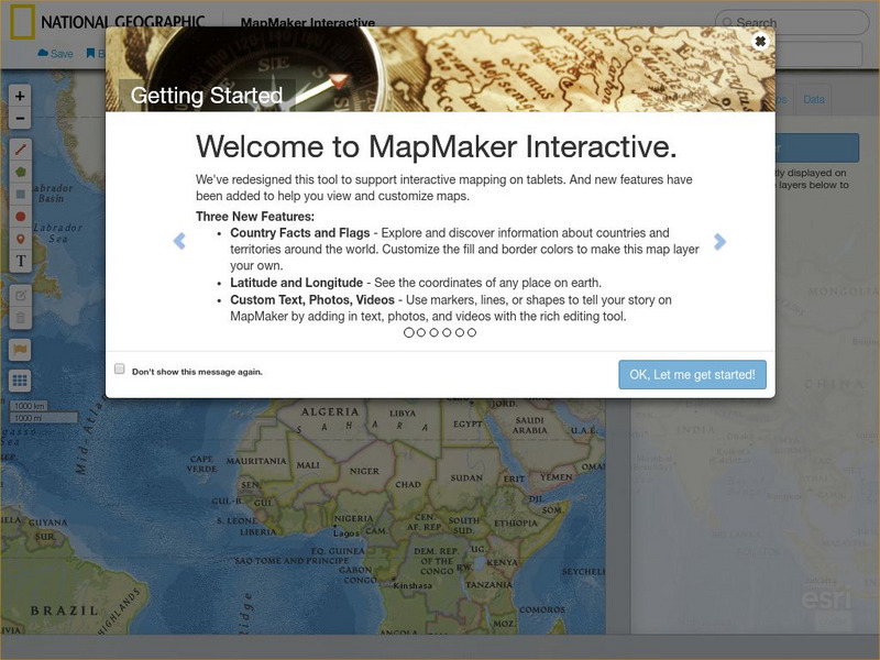
National Geographic: Map Maker Interactive and 1 Page Map Maker
This National Geographic feature allows visitors to create their own world maps complete with capitals, oceans, climate information, satellite view, personalized trail markings and more. Choose from a detailed color map or the second...
University of Manchester
Children's University of Manchester: Word Literacy: World Languages Map
Click the continents on this animated map to learn facts about some of the languages spoken in the world.
Texas Instruments
Texas Instruments: Celestial Sphere Study Cards
Multiple choice study cards for reviewing the Celestial Sphere.
A to Z Teacher Stuff
A to Z Teacher Stuff: St. Patrick's Day
How can you celebrate St. Patrick's Day with your students? Come and explore this informative resource that features several links to St. Patrick's Day activities, poems, and more. Includes PDF resources (require Adobe Reader).
The Environmental Literacy Council
Environmental Literacy Council: Ecosystems
Article explaining ecosystems and why we use them to organize our ideas about the natural world. Links to additional resources, maps, and activities.
Social Studies for Kids
Social Studies for Kids: Latitude and Longitude
A collection of latitude and longitude mapping activities ranging from pin-pointing exact locations on the globe to researching the history behind this basic geography concept.
Other
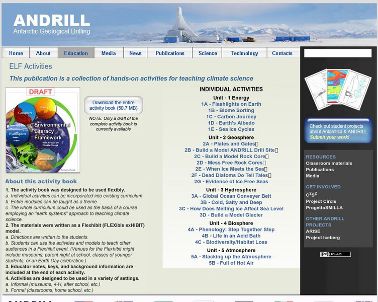
Antarctic Geological Drilling: Environmental Literacy Framework Activities
An impressive collection of lessons on climate science and climate change. The entire book can be downloaded. As well, each lesson plan has its own page with some combination of background information, PowerPoints, images, maps,...
PBS
Pbs Nova: Find Your Longitude
Lost at sea with only your sextant? Use your knowledge of longitude to find your place. The non-shockwave interactive activity makes the concept of longitude concrete.
Other
Pbs Teachers: A Place of Our Own: Habitat Map
This three-dimensional map activity helps children share about themselves and talk about who they are and where they come from. Good basis for learning about maps, similarities and differences, respect and acceptance of diversity and...
TeachEngineering
Teach Engineering: Robotic Perimeter
Students learn and practice how to find the perimeter of a polygonal shape. Using a ruler, they measure model rooms made of construction paper walls. They learn about other tools, such as a robot, that can help them take measurements....
PBS
Pbs Learning Media: Fresh Pick Challenge: Pantry Search
Put children in charge of building a pantry that Corporal Cup would be proud of. This activity will help them use direction, distance, and location, visualize placement and positioning, and describe relative positions, such as "next to,"...
Annenberg Foundation
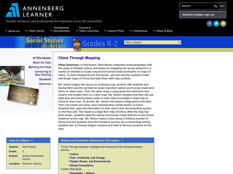
Annenberg Learner: China Through Mapping
In this instructional activity, Mimi Norton integrates world geography with the study of Chinese culture and history by engaging her young young scholars in a variety of activities to locate natural and human-made landmarks on maps of...
SMART Technologies
Smart: Latitude and Longitude
Try to locate famous landmarks using latitude and longitude coordinates in this interactive classroom activity.
Tramline
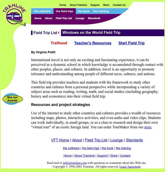
Virtual Field Trip: Windows on the World
At this site you will find interactive activities, maps, photos, and even audio and video clips for studying the cultures of the world.
PBS
Pbs Learning Media: Lost in Greasy World
Children use spatial skills to put together a map that has been broken up into pieces. This activity will help them understand spatial sense and practice using a map.
PBS
Pbs Learning Media: 50 States Part 2 Lesson Plan
In this lesson, students combine psychomotor skills and geography as they travel from Montana to Wyoming. As students travel from state to state, they learn regional facts and state capitals. Students perform physical tasks highlighting...


