Annenberg Foundation
Annenberg Learner: United States History Map: From Sea to Shining Sea
A great interactive map that reinforces your knowledge of the geographic features of the United States. Begin by reading general information on reading maps, then play the game.
Library of Congress
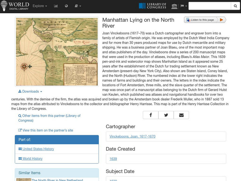
World Digital Library: Manhattan Lying on the North River
A historic map of Manhattan created by cartographer Joan Vinckeboons around 1639 for the Dutch West India Company. A feature on the page allows the visitor to listen to and read the accompanying descriptive text in seven different...
NOAA
Noaa: The Great Usa Flood of 1993
Interesting abstract about the flood that hit the Midwest in 1993, one of the worst floods in United States History. Find out why the flood occurred, the damage, maps of the damage, charts, graphs, and statistics.
US National Archives
Docsteach: Lewis & Clark's Expedition to the Complex West
This activity can be used as an introduction or for a closer study of the Lewis & Clark Expedition. Students will learn that the United States purchased the Louisiana Territory in 1803 and President Thomas Jefferson sent Lewis and...


