Hi, what do you want to do?
Curated OER
On the Road Again": Moving People, Products, and Ideas
In this lesson students learn how to identify modes of transportation and communication for moving people, products, and ideas from place to place. Students also study the advantages and disadvantages of different modes of...
Curated OER
Geographic Information Systems
Students examine the concept of geographic information systems (GIS) and its basic components. They explore an application program using GIS technology and list the various uses for GIS.
NASA
Nasa: Aerial Photography: The Adventures of Amelia the Pigeon
An animated adventure story, developed by NASA, that helps children understand earth science concepts by using satellite photography and other types of aerial photographs to identify physical features on the surface of the earth. Teaches...
NASA
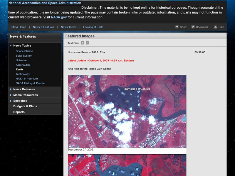
Nasa: Hurricane Season 2005: Rita
Outstanding web site from NASA that details Hurricane Rita and has a plethora of visuals such as interactive maps, aerial photographs, videos, and more. Great source.
NOAA
Noaa: Ocean Explorer: Aerial Photography & Mapping Lesson Plan: Images of Katrina
This activity from NOAA Ocean Service is about using aerial photographs to assess the impact of extreme weather events such as Hurricane Katrina. The activity features aerial views of Biloxi, MS post-Katrina and enables students to see...
Other
Zoom Earth: Aerial and Satellite Images
Type in the location you are searching for, and satellite imagery will produce an aerial map for you. Helps students better understand these concepts by providing a visual for them.
University of Illinois
University of Illinois: Illinois State Geological Survey
A "research and service" organization, the ISGS's "programs encompass geologic mapping, water and mineral resources, environmental and engineering geology, geochemistry, and education." Read articles, view maps, study old aerial...
Curated OER
Aerial View of Mount Olympus.
Illustrated dictionary entry for Mount Olympus identifies its location on a map and includes an aerial photograph of the site.
Curated OER
Map of Greece and the Aegean
Illustrated dictionary entry for Mount Olympus identifies its location on a map and includes an aerial photograph of the site.


