Curated OER
University of Texas: East Timor (Timor Leste)
A map of East Timor from the Perry-Castaneda Collection which shows East Timor which shares the island of Timor with Indonesia. The map makes clear the enclave of Oecussi which is part of East Timor.
PBS
Wide Angle: Interactive Map: Middle East
An interactive map that shows the countries of the Middle East in 2003. Gives information such as population, government, and history about each country.
Curated OER
University of Texas: Map of Southern Asia
This political map shows the countries and capitals of the Middle East and South Asia as well as other countries in Asia.
University of Chicago
University of Chicago Library: Teaching the Middle East: Resource for Educators
An overview of the cultures, contributions, history, peoples, and geography of the Middle East developed specifically for educators. Learning modules, essays, maps, scholarly perspectives, resource and image banks, framing questions, and...
Columbia University
Columbia University: Asia for Educators: East Asia in Geographic Perspective
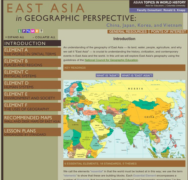
This teacher resource is devoted to teaching about the geographic history of East Asia. Includes standards information and links to related lesson plans. Also features a downloadable world map (PDF, requires Adobe Reader).
Lizard Point Quizzes
Lizard Point: Middle East: Bodies of Water Quiz
Test your geography knowledge by taking this interactive quiz over the bodies of water in the Middle East.
Curated OER
University of Texas: Middle East
This map from the Perry-Castaneda collection shows a relief map of the Middle East.
Latimer Clarke Corporation
Atlapedia: World Maps/middle East
Learn the locations and countries in the Middle East from this political map. Click on the link at the top of the page to see a physical map of the same region. Clicking on the country's name will take you to information about that country.
Princeton University
Princeton University: Maps of the Islamic Middle East
This site from the Princeton University includes a map collection from Roolvink's "Atlas of the Middle East" with a variety of historical maps on Islam.
SMART Technologies
Smart: Geography Unit: Maps
This geography unit is designed to follow the 1st Grade geography skills required in Virginia. Students are expected to use cardinal directions, read map keys and understand map symbols, as well as identify our city and capital.
CBS
Cbs News: Middle East Countries
Discusses each country in the Middle East and how it is affected by the problems that are going on in the region. Click on the tiny map in the upper left-hand corner to access the list of countries.
New York Times
New York Times: Middle East
[Free Registration/Login Required] The New York Times covers the latest news, issues and events occurring in the Middle East. In addition to breaking stories, the New York Times also provides focused information and maps.
University of Texas at Austin
The Perry Castaneda Library Map Collection
This collection contains more than 250,000 maps covering all areas of the world, and ranging from political and shaded relief maps to the detailed and the historical. Select from a region of the world or an area of highlighted interest.
University of Texas at Austin
Perry Castaneda Library Map Collection: Israel
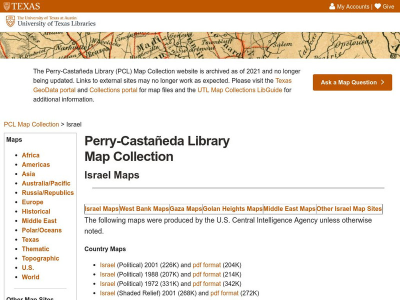
The Perry-Castaneda Library at the University of Texas provides an outstanding collection of maps of the country of Israel. Also links to maps from other online sources.
Curated OER
University of Texas: Mauritius: Political Map
This map of Mauritius from the Perry-Castaneda Collection shows the island of Mauritius in isolation as well as a map inset showing its location east of the mainland of Africa and an inset of one of the smaller islands making up the...
Curated OER
University of Texas: Saudi Arabia: Small Political Map
This map of Saudi Arabia is very easy to read. It shows the major cities and its location in relation to other countries in the Middle East. From the Perry-Castaneda Collection.
Curated OER
Educational Technology Clearinghouse: Maps Etc: East Indies, 1920
A map from 1920 of the Indonesian region showing the political boundaries and foreign possessions at the time for the Sunda Islands, Borneo, Celebes, the Moluccas, the Philippines, the Province of Malay Peninsula, and portions of Siam...
United Nations
United Nations: Cartographic Section: Great Lakes Region (Map 2) [Pdf]
This map of the Great Lakes region in Africa from the United Nations shows the large lakes, the countries the lakes touch, and rivers that flow into and out of the lakes.
United Nations
United Nations: Cartographic Section: Great Lakes Region (Map 1) [Pdf]
The United Nations offers this very clear map of part of the Great Lakes region in eastern Africa. The lakes, of course, are labeled, as are the rivers, major cities, and countries.
Columbia University
Columbia University: East Asia in Geographic Perspective: Standard 1
How to use maps and other geographic representations, tools, and technologies to acquire, process, and report information from a spatial perspective
Columbia University
Columbia University: East Asia in Geographical Perspective
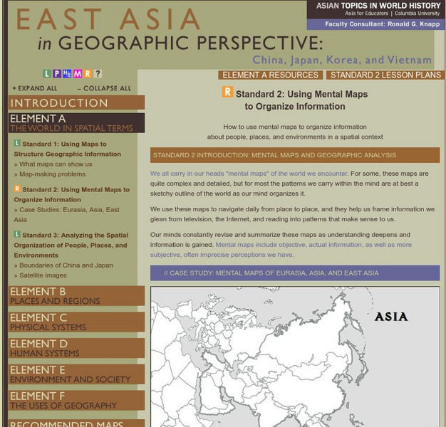
How to use mental maps to organize information about people, places, and environments in a spatial context
ClassFlow
Class Flow: Middle East Map
[Free Registration/Login Required] Using interactive tools, students will discover the many regions of the Middle East using graphic maps and finally, rearrange the jigsaw pieces to recreate the full map.
Khan Academy
Khan Academy: Art History: Map of Ancient Near East
A short introduction to the ancient Near East, followed by sections providing an in-depth coverage. Includes links to additional information.
NOAA
Noaa: Cpc: Regional Climate Maps
Provides large colorful maps of climate data about each continent for the current week, month, or previous quarter.
Other popular searches
- Middle East Maps
- Blank Middle East Maps
- Middle East Maps Trade
- Ancient Middle East Maps
- Medieval Middle East Maps
- East Asia Geography Maps
- Middle East Maps Puzzles
- Far East Maps
- Maps South East Asia
- East Africa Maps
- Sou East Asia Maps


