US Mint
United States Mint: In Mr. Lincoln's Shoes [Pdf]
Using the study of President Abraham Lincoln as a guide, young scholars demonstrate basic map skills including cardinal directions and how to use a compass rose.
Japanese Ministry of Foreign Affairs
Web Japan: Map of Japan
A clear map of Japan naming the five main islands and showing the mountains in relief. An inset shows Japan in relation to a map of the world.
National Geographic
National Geographic: Getting Lost
The National Geographic Society provides this lesson on cardinal directions for primary students that employs common classroom materials.
BBC
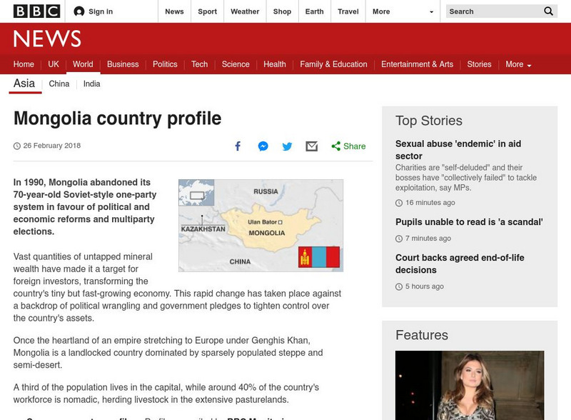
Bbc: News: Country Profile: Mongolia
BBC News provides a general overview of the landlocked East Asian country of Mongolia. Focus is on history, country facts, leaders, and media. Provides links to a timeline of key events and recent news articles.
BBC
Bbc: News: Country Profile: Taiwan
BBC News features a general overview of the East Asian country of Taiwan. Focus is on history, country facts, leaders, and media. Provides links to a timeline of key events and recent news articles.
HotChalk
Hot Chalk: Lesson Plans Page: Edible Geography
Lesson that helps young scholars understand geography of states by creating an edible map of the state, using real food to indicate parts of the state.
Curated OER
Etc: Maps Etc: The Country East of the Mississippi, 1650
A map from 1872 of the country east of the Mississippi for the year 1650, forty-seven years after the settlement of Jamestown. This map shows early commencement of European settlement and the principal Native American tribal lands east...
Curated OER
Educational Technology Clearinghouse: Maps Etc: The War in the East, 1863
A map showing the major battle sites in the east in 1862-1863 during the American Civil War. The map shows major cities, rivers, and the sites of Fredericksburg, Chancellorsville, Wilderness, Spottsylvania, Mount Cedar, Mechanicsville,...
Curated OER
Etc: Operations in the East, 1861 1865
A map of the Southeastern States showing American Civil War operations in the East (1861-1865). The map shows major cities and towns, rivers, terrain and coastal features, and campaign routes. An inset map details eastern Virginia.
Curated OER
Etc: Maps Etc: Stroudsburg and East Stroudsburg, Pennsylvania, 1920
A road map of Stroudsburg and East Stroudsburg, Pennsylvania, from the Automobile Club of Rochester (1920) showing the principal roads, railroads and station, bridges, and major landmarks.
Curated OER
Educational Technology Clearinghouse: Maps Etc: Islands East of Porto Rico, 1920
A map from 1920 of the islands east of Porto Rico, including Vieques, Culebra, and the smaller islands and cays.
Curated OER
Educational Technology Clearinghouse: Maps Etc: The War in the East, 1861 1865
A map showing the area of the American Civil War in the east, including the major battle sites of Bulls Run Creek, Manassas Junction, Fredericksburg, Chancellorsville, Wilderness, Spottsylvania, Mechanicsville, Cold Harbor, Malvern Hill,...
Curated OER
Etc: Seat of War in the East , 1861 1865
A map showing the seat of the American Civil War (1861-1865) in the east. The map shows the principal areas of conflict from southern Pennsylvania (Harrisburg and Gettysburg) south to the South Carolina State Line, showing major cities...
Curated OER
Etc: Maps Etc: Orographical South East England, 1910
An orographical map of southeastern England in 1910, showing color-contouring elevations from sea level to above 500 feet. This map shows railroads, canals, rivers, terrain, and major cities and towns, including London, Windsor,...
Curated OER
Middle East Map
NPR reports on the neighboring countries to Iraq in the Middle East: Jordan, Syria, Kuwait, and Saudi Arabia. How are these countries coping with the violence so close at hand? The report contains audio and a series of pictures taken in...
American-Israeli Cooperative Enterprise
Jewish Virtual Library: Un Partition Plan, September 1947
This authentic UN map depicts the political lines to be drawn to partition Palestine as established in 1947.
E-learning for Kids
E Learning for Kids: Science: Antarctica: What Is Position and Reference Point?
With all the snow and ice in Antarctica, it's easy to get lost. Help Tim find his way using a map and a compass.
TeachEngineering
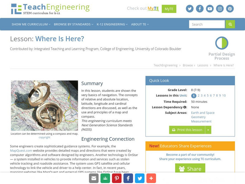
Teach Engineering: Where Is Here?
In this lesson, students are shown the very basics of navigation. The concepts of relative and absolute location, latitude, longitude and cardinal directions are discussed, as well as the use and principles of a map and compass.
Nations Online Project
Nations Online: Tanzania
Offers a country profile of the East African country of Tanzania, background details, and numerous links to comprehensive information on the country's culture, history, geography, economy, environment, population, news, government, maps,...
Nations Online Project
Nations Online: Somalia
Presents a country profile and travel guide to the East African nation of Somalia, background overview, and numerous links to extensive information on the nation's culture, history, geography, economy, environment, population, news,...
Nations Online Project
Nations Online: Yemen
A great country profile that takes you on a virtual trip to Yemen in the Middle East. A background overview is given on its art, culture, people, environment, geography, history, economy, and government. There are numerous links...
Nations Online Project
Nations Online: Bahrain
Great reference directory for finding information on Bahrain in the Middle East. Content includes background details, a country profile, and numerous links to comprehensive information on the nation's culture, history, geography,...
Nations Online Project
Nations Online: Syria
Presents a travel guide and country profile of the Middle East country of Syria including a background overview and numerous links to comprehensive information on the country's culture, history, geography, economy, environment,...
Other popular searches
- Middle East Maps
- Blank Middle East Maps
- Middle East Maps Trade
- Ancient Middle East Maps
- Medieval Middle East Maps
- East Asia Geography Maps
- Middle East Maps Puzzles
- Far East Maps
- Maps South East Asia
- East Africa Maps
- Sou East Asia Maps
![United States Mint: In Mr. Lincoln's Shoes [Pdf] Lesson Plan United States Mint: In Mr. Lincoln's Shoes [Pdf] Lesson Plan](https://d15y2dacu3jp90.cloudfront.net/images/attachment_defaults/resource/large/FPO-knovation.png)


