BBC
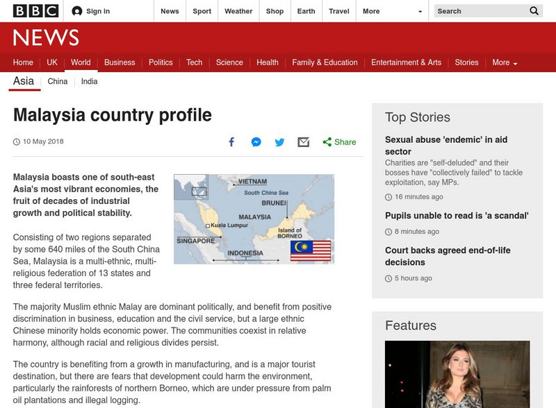
Bbc: News: Country Profile: Malaysia
BBC News features a general overview of the prosperous south-east Asian country of Malaysia. Focus is on history, country facts, leaders, and media. Provides links to a timeline of key events and recent news articles.
BBC
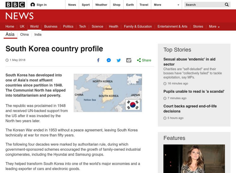
Bbc: News: Country Profile: South Korea
BBC News offers a general overview of the affluent East Asian country of South Korea. Focus is on history, country facts, leaders, and media. Provides links to a timeline of key events and recent news articles.
BBC
Bbc: News: Country Profile: Ethiopia
BBC News provides a general overview on the oldest independent East African country, Ethiopia. Includes country facts, information on leaders and media, and links to a timeline of key events and recent news.
PBS
Pbs Learning Media: Let's Learn
This collection of resources for children ages 3-8 are drawn from the public television series Let's Learn, a partnership between the WNET Group and the New York City Department of Education. Let's Learn aims to provide our young...
Curated OER
Educational Technology Clearinghouse: Maps Etc: Africa, 1906
A map of the African continent in 1906 showing European land claims such as British East Africa, German East Africa, Portuguese East Africa, Italian Somalia, and others, and European colonies and corporate states such as Cape Colony,...
Curated OER
Educational Technology Clearinghouse: Maps Etc: Colonial Africa, 1914
A map of Africa in 1914, showing the presence of European powers, including British, French, German, Portuguese, Spanish, Italian, and Belgian possessions. Native states, major cities and major railways are also shown. This map reflects...
Curated OER
Etc: Maps Etc: Anglo India After Clive's Departure , 1760
A map of the eastern coast of India showing the Anglo-India (East India Company) possessions after Robert Clive's departure in 1760. The map is color-coded to show the extent of the British territories at the time, and shows the...
Curated OER
Educational Technology Clearinghouse: Maps Etc: Pre Colonial Africa, 1872
A map of Africa showing the continent prior to the Berlin Conference of 1885, when the most powerful countries in Europe at the time convened to make their territorial claims on Africa and establish their colonial borders at the start of...
Curated OER
Etc: Maps Etc: Mean Average Temperatures in North America, 1906
A map from 1906 of North America showing the mean annual isotherms of the region given in degrees Fahrenheit. "The climate of North America naturally varies greatly, depending on latitude, the general atmospheric circulation or direction...
Curated OER
Educational Technology Clearinghouse: Maps Etc: The Lake Victoria Region, 1920
A map of the region around Lake Victoria, or Victoria Nyanza, in 1920, showing the northern portion of German East Africa, the eastern portion of Belgian Congo, and all of British East Africa including the Uganda Protectorate. The map...
Curated OER
Etc: Maps Etc: Southeastern British Provinces, 1888
A map from 1888 of the southeastern provinces of British America (Dominion of Canada). The map shows the province boundaries of Keewatin to the west of Hudson Bay, North East Territory to the east of Hudson Bay, the eastern part of...
Curated OER
Educational Technology Clearinghouse: Maps Etc: Middle Colonies, 1620 1702
A map of the New Jersey Colony between the establishment of the Dutch settlement at Bergen (1620) and the unification of East and West Jersey in 1702. The map shows the 'North River’ (Hudson River) and 'South River’ (Delaware River), the...
Curated OER
Educational Technology Clearinghouse: Maps Etc: The Indian Nations, 1775
An early map of the eastern North America from the Great Lakes to the Gulf of Mexico and east of the Mississippi River around 17765, showing the Indian Nations adjoining to the Mississippi, West and East Florida, Georgia, South and North...
Curated OER
Etc: Maps Etc: British Possessions in North America, 1765
A map showing the British possessions in North America in 1765 after the French and Indian War, as defined by the Treaty of 1763, Proclamation of 1763, and the Royal Orders of 1764-1767. The map shows the British Colonies on the...
Curated OER
Etc: Maps Etc: British Possessions in North America, 1775
A map showing the British possessions in North America in 1775, before the outbreak of hostilities during the American Revolutionary War. The map shows the boundaries of the British Colonies along the Atlantic, the Proclamation Line of...
Curated OER
Etc: Maps Etc: United States at the Close of the Revolution, 1789
A map from 1872 of the country east of the Mississippi showing the newly formed United States after the ratification of the Constitution in 1789. The map is keyed to show the states at the time and the Spanish territories of West and...
Curated OER
Educational Technology Clearinghouse: Maps Etc: New Jersey, 1674 1702
A map of the New Jersey Colony between the establishment of the Dutch settlement at Bergen (1617), the acquisition, between the lower Hudson and Delaware Rivers, subdivided by the Duke of York to form East Jersey and West Jersey, and the...
Curated OER
Educational Technology Clearinghouse: Maps Etc: South China, 1971
"South China comprises the drainage basins of the middle and lower Yangtze River, the basin of the His Chiang (West River) in Kwangtung and Kwangsi; and the mountainous coastal provinces of Fukien and Chekiang. The division between the...
Curated OER
Etc: Maps Etc: The Terminal Moraine (Eastern), Second Glacial Epoch
A map showing the terminal moraine of the second glacial epoch east of the Great Lakes region, including the glacial landscape features of Cape Cod and Nantucket, Long Island, the Catskills and Finger Lakes, and the extreme terminal...
Curated OER
Educational Technology Clearinghouse: Maps Etc: North America, 1885
A map from 1885 of North America and Central America showing the major relief features of the region. The map shows the primary highland known as the Pacific Highland, with the Sierra Nevada and Rocky Mountains, the secondary highlands...
Curated OER
Educational Technology Clearinghouse: Maps Etc: Rainfall in North America, 1898
A map from 1898 of North America, Central America, Greenland, and the Caribbean to Puerto Rico showing the general distribution of rainfall in the region. The map shows areas of little or no rainfall to areas of heavy rainfall. The map...
Curated OER
Educational Technology Clearinghouse: Maps Etc: Australasian Island Chain, 1890
A map from 1890 showing the Australasian chain of islands from the Malay Peninsula to New Zealand. "The Australasian Chain sweeps in a double curve from the Sunda Islands to New Zealand, and consists of a number of parallel...
Curated OER
Educational Technology Clearinghouse: Maps Etc: Newfoundland, 1903
A map from 1903 of the Canadian province of Newfoundland, showing cities, towns and ports, railways, lakes, rivers, and coastal features, as well as the coastal districts of White Bay, Bonne Bay, Bay of Exploits, Bonavista Bay, St....
Other popular searches
- Middle East Maps
- Blank Middle East Maps
- Middle East Maps Trade
- Ancient Middle East Maps
- Medieval Middle East Maps
- East Asia Geography Maps
- Middle East Maps Puzzles
- Far East Maps
- Maps South East Asia
- East Africa Maps
- Sou East Asia Maps


