Hi, what do you want to do?
SMART Technologies
Smart: Final Project Map Skills
This lessons explores the different ways we can view our world along with the different parts of a map or globe.
Other
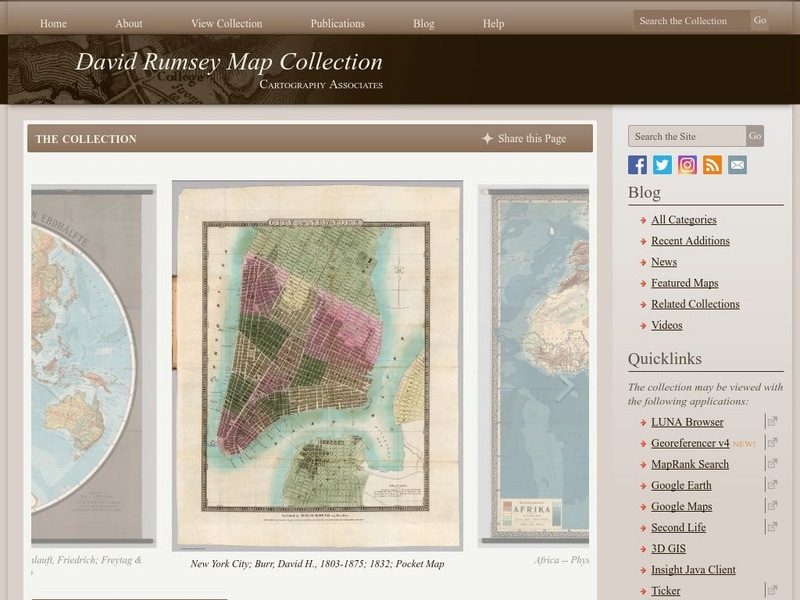
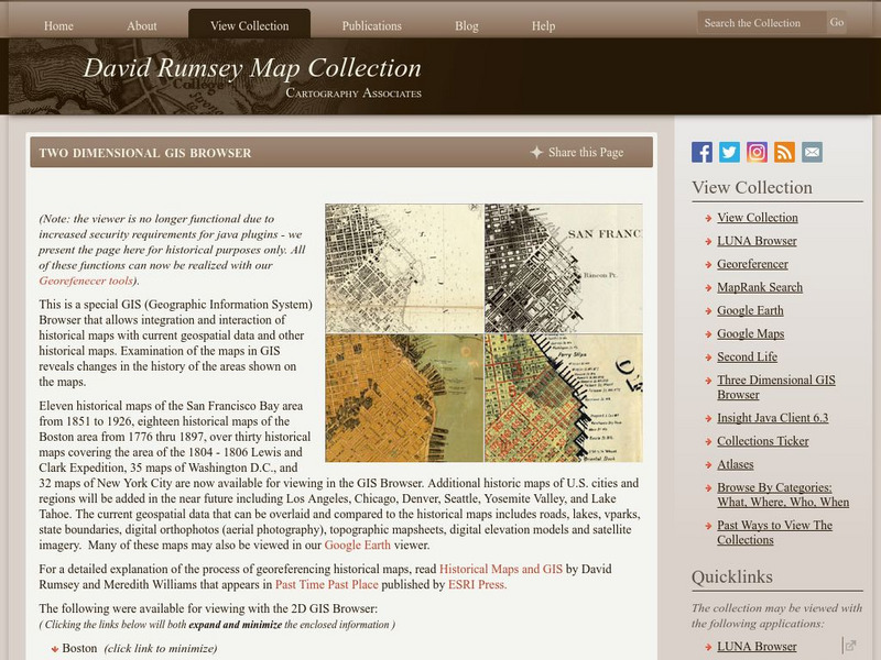
The David Rumsey Historical Map Collection
"The David Rumsey Historical Map Collection focuses on rare 18th and 19th century North and South America cartographic history materials. Historic maps of the World, Europe, Asia, and Africa are also represented. The collection...
Hans Lohninger
Photo Globe: Venezuela
Presents many general country specific facts about Venezuela in a well organized chart form. Content includes: geography, people, government, economy, communications, transportation, military, and transnational issues. This site is...
Other
Boat Safe Kids: Longitude and Latitude
This website starts at the very beginning and explains how round globes are transferred to flat maps. Then they explain the use of longitude and latitude.
ClassFlow
Class Flow: Maps Globe Skills
[Free Registration/Login Required] This flipchart discusses landforms, mapping and the Compass Rose. Students can practice using Cardinal Directions and use Activotes.
Hans Lohninger
Photo Globe: Bolivia
Presents many general country specific facts about Bolivia in a well organized chart form. This site is enriched by links to maps and an image of the Altiplano salt flats.
Bob Dunn
History Globe: The Oregon Trail: 1843 Map
Take a virtual tour of the historic Oregon Trail and see photos of the landmarks along the way. Compare the map of 1843 with a modern map of today.
Other
David Rumsey Historical Map Collection
The collection of more than 150,000 maps focuses on rare 18th and 19th-century maps of North and South America, although it also has maps of the World, Asia, Africa, Europe, and Oceania. The collection includes atlases, wall maps,...
Curated OER
Google for Education: Children and Technology: Google Earth
A demo presentation using Google Earth to fly around the world, visiting notable visitor points around the globe.
Hans Lohninger
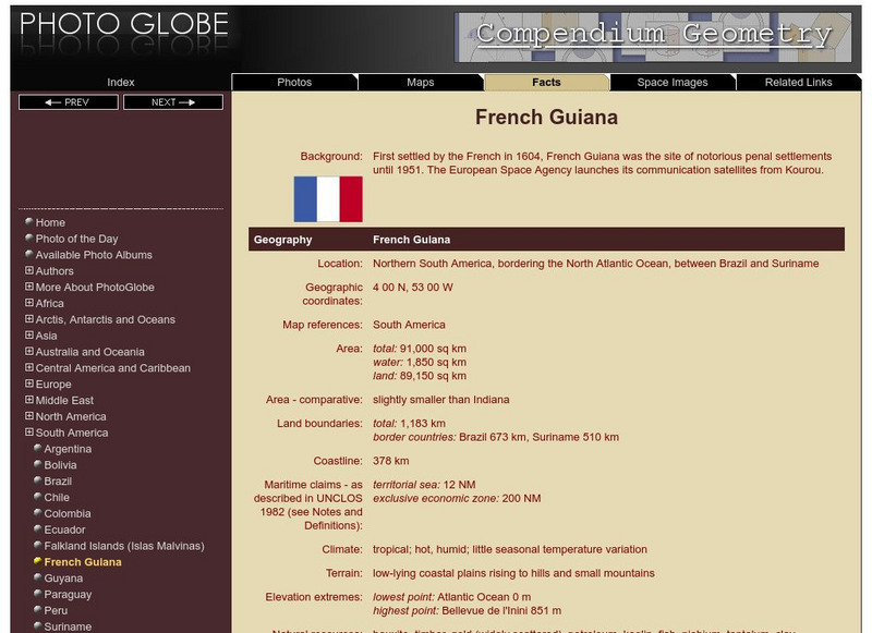
Photo Globe: French Guiana
Features many country specific facts about French Guiana in a well organized chart form. Content includes: geography, people, government, economy, communications, transportation, military, and transnational issues. This site is enriched...
Hans Lohninger
Photo Globe: Guyana
Offers general country specific facts about Guyana in a well organized chart form. Content includes: geography, people, government, economy, communications, transportation, military, and transnational issues. This site is enriched by a...
Hans Lohninger
Photo Globe: Paraguay
Provides many general country facts about Paraguay in a well organized chart form. Content includes: geography, people, government, economy, communications, transportation, military, and transnational issues. This site is enriched by a...
Hans Lohninger
Photo Globe: Suriname
Examines general country specific facts about Suriname in a well organized chart form. Content includes: geography, people, government, economy, communications, transportation, military, and transnational issues. This site is enriched by...
Hans Lohninger
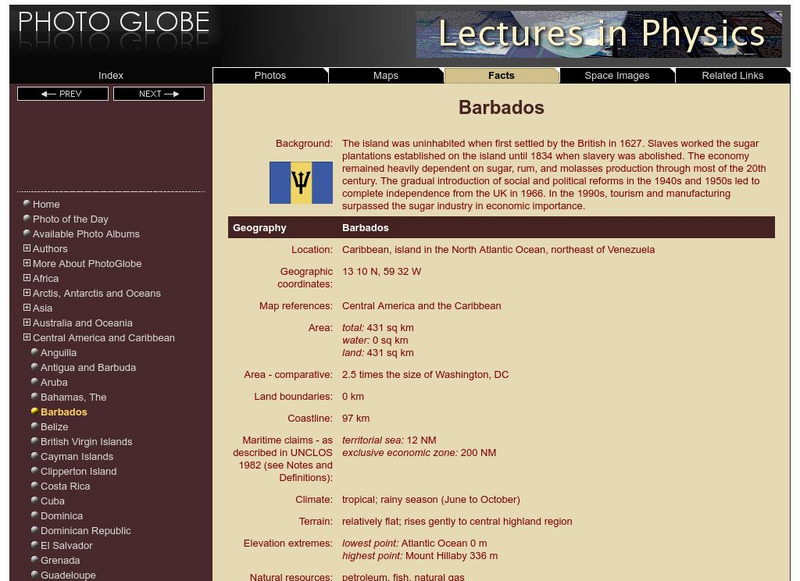
Photo Globe: Barbados
Provides many country specific facts about Barbados in a well organized chart form. Content includes: geography, people, government, economy, communications, transportation, military, and transnational issues. This site is enriched by...
Hans Lohninger
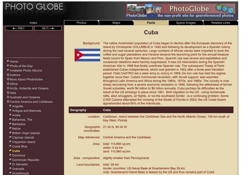
Photo Globe: Cuba
Provides background and general country facts and statistics about Cuba in a well organized chart form. This site is enriched by links to maps, space images, and a picture of its flag.
Other
Reach the World: Geogames Build Planet Earth
Practice your mapping skills with Build Planet Earth! This animated 3D globe challenges players to locate the Poles, continents, countries, and cities. Colorful graphics and sound effects as well as a teacher's lesson plan are included.
Other popular searches
- Comparing Maps and Globes
- Reading Maps and Globes
- Communities Maps and Globes
- Examining Maps and Globes
- Using Maps and Globes
- Free Maps and Globes
- Maps and Globes Activity
- Maps and Globes Migration
- Globes and Maps
- Maps, Globes and Atlases
- Globes and Maps Continents
- Construct Maps and Globes


