Hi, what do you want to do?
Curated OER
Educational Technology Clearinghouse: Maps Etc: Western New York, 1914
A map from 1914 of the western part of New York showing counties and county seats, principal cities and towns, railroads, canals, lakes, and rivers .
Curated OER
Educational Technology Clearinghouse: Maps Etc: Malone, New York, 1920
A road map of Malone, New York, from the 1920 Automobile Club of Rochester, showing the Hudson River and Rondout Creek, principal roads, railroads and stations, ferry route, parks, cemeteries, and major landmarks.
Curated OER
Educational Technology Clearinghouse: Maps Etc: Oswego, New York, 1920
A road map of Oswego, New York, from the 1920 Automobile Club of Rochester, showing the Oswego River and Lake Ontario, principal roads, railroads and stations, light houses, fort, parks, cemeteries, and major landmarks.
Curated OER
Educational Technology Clearinghouse: Maps Etc: Newburg, New York, 1919
A road map of Newburgh and Beacon, New York, from the Official Automobile Blue Book (1919), showing the Hudson River, principal roads, railroads and stations, ferry routes, and major landmarks.
Curated OER
Educational Technology Clearinghouse: Maps Etc: Kingston, New York, 1920
A road map of Kingston, New York, from the 1920 Automobile Club of Rochester, showing the Hudson River and Rondout Creek, principal roads, railroads and stations, ferry route, parks, cemeteries, and major landmarks.
Curated OER
Educational Technology Clearinghouse: Maps Etc: Peekskill, New York, 1920
A road map of Peekskill, New York, from the 1920 Automobile Club of Rochester, showing the Hudson River and Annsville Creek, principal roads, railroads and station, bridges, and major landmarks.
Curated OER
Educational Technology Clearinghouse: Maps Etc: Peekskill, New York, 1919
A road map of Peekskill, New York, from the Official Automobile Blue Book (1919), showing the Hudson River and Annsville Creek, principal roads, railroads and station, bridges, and major landmarks.
Curated OER
Etc: Maps Etc: Tarrytown and Nyack, New York, 1920
A road map of Tarrytown and Nyack, New York, from the 1920 Automobile Club of Rochester, showing the Hudson River, principal roads, railroads, ferry docks, and major landmarks.
Curated OER
Etc: Greater New York and Vicinity, 1865 1898
A map showing Greater New York and vicinity between 1865-1898.
Curated OER
Etc: Maps Etc: Newburgh and Beacon, New York., 1920
A road map of Newburgh and Beacon, New York, from the 1920 Automobile Club of Rochester, showing the Hudson River, principal roads, railroads and stations, ferry routes, and major landmarks.
Curated OER
Etc: Maps Etc: Rhinebeck and Rhinecliff, New York , 1919
A road map of Rhinebeck and Rhinecliff, New York, from the Official Automobile Blue Book (1919), showing the Hudson River, principal roads, railroads and stations, bridges, ferry docks, and major landmarks.
Curated OER
Etc: Maps Etc: Perth Amboy and Tottenville, New York, 1920
A road map of Perth Amboy and Tottenville, New York, from the 1920 Automobile Club of Rochester, showing the Raritan River and Arthur Kill River, principal roads, railroads and stations, ferry docks, and major landmarks.
Curated OER
Educational Technology Clearinghouse: Maps Etc: Buffalo, New York Road Map, 1914
A map from 1914 of Buffalo New York showing the principal streets and avenues, harbor district, railroad lines, parks, and major landmarks.
University of Minnesota
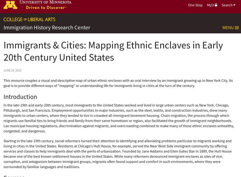
U Mn: Immigrants & Cities: Mapping Ethnic Enclaves in Early 20th Century Us
This resource couples a visual and descriptive map of urban ethnic enclaves with an oral interview by an immigrant growing up in New York City. Its goal is to provide different ways of "mapping" or understanding life for immigrants...
Other
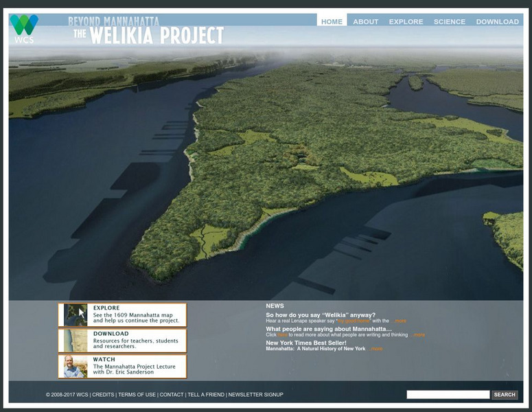
Beyond Mannahatta: The Welikia Project
The Welikia Project examined what the landscape of New York City looked like in 1609. Use the map to explore the city then and compare it to today. Provides a collection of thirteen lessons for upper elementary but which can be adapted...
Library of Congress
Loc: Today in History: May 4: Early Manhattan & Bird Day
Read about the early history of New York City and a special day in May called Bird Day. Page contains images and hyperlinks to other resources, such as historical maps and documents.
Other
New York State Canals: Erie Canal Map
This site has a map of the Erie Canal and lets you zoom in on different parts of the Canal to view where the locks are.
New York Times
New York Times: Action in Iraq, April 9
A map that shows what portions of Baghdad were taken first by American soldiers. The map allows the user to zoom in and look at different descriptions of key parts of the city that the United States first brought under control. (10 April...
Curated OER
Educational Technology Clearinghouse: Maps Etc: Stamford in the Catskills, 1920
A sketch map from 1920 of Stamford and New York towns along the Hudson River, showing roads.
Curated OER
Educational Technology Clearinghouse: Maps Etc: Albany and Vicinity, 1919
A road map of New York in the vicinity of Albany from the Official Automobile Blue Book (1919), showing county lines, principal cities and towns, rivers, and is keyed to show the best auto routes, other auto routes, unreported roads,...
Curated OER
Educational Technology Clearinghouse: Maps Etc: Rochester and Vicinity, 1920
A road map of New York in the vicinity of Rochester from the 1920 Automobile Club of Rochester, showing county lines, principal cities and towns, rivers, and is keyed to show the best auto routes, other auto routes, unreported roads,...
Curated OER
Etc: Maps Etc: Lake Champlain and Lake George, 1919
A road map of New York in the vicinity of Lake Champlain and Lake George from the Official Automobile Blue Book (1919), showing county lines, principal cities and towns, rivers, and is keyed to show the best auto routes, other auto...
Curated OER
Etc: Maps Etc: Campaigns in New York and New Jersey, 1776
A map showing the area of the New York and New Jersey campaign (1776) during the American Revolutionary War. The map shows the British landing on Staten Island in June, 1776, the advance across the Narrows to Brooklyn, Washington's...
Curated OER
Etc: The Hudson River Newburg to New York, 1779
A map of the Hudson River area from Newburg to the Long Island Sound showing the Revolutionary War posts and towns along the river, including West Point, Peekskill, Verplanck's Point, King's Ferry, Stony Point, Haverstraw Bay, Tarrytown,...


