Curated OER
Educational Technology Clearinghouse: Maps Etc: North America, 1912
A map from 1912 of North America, Central America, Greenland, and the Caribbean showing political boundaries at the time, capitals and major cities, railroads, mountain systems, lakes, rivers, and coastal features of the region.
Curated OER
Educational Technology Clearinghouse: Maps Etc: North America, 1885
A map from 1885 of North America, Central America, Greenland, and the Caribbean showing political boundaries at the time, major cities, mountain systems, lakes, rivers, and coastal features of the region. Ship routes from San Francisco...
Curated OER
Educational Technology Clearinghouse: Maps Etc: North America, 1888
A map from 1888 of North America, Central America, and Caribbean showing national boundaries at the time, major cities, mountain systems, rivers, and coastal features. The province boundaries of the Dominion of Canada are shown,...
Curated OER
Educational Technology Clearinghouse: Maps Etc: North America, 1750
A map of the eastern portion of North America, Central America, and western Caribbean showing the territorial claims in 1750 of the British, French, and Spanish in the region. The map shows major cities at the time, lakes, and rivers. As...
Curated OER
Etc: Maps Etc: The Surface of North America, 1912
A base relief map from 1912 of North America, Central America, Greenland, and the Caribbean to Puerto Rico showing the general surface terrain, including mountain systems, highlands, plains, and major river systems of the region....
Curated OER
Educational Technology Clearinghouse: Maps Etc: Relief of North America, 1872
A base relief map from 1872 of North America, Central America, Greenland, and the Caribbean to Puerto Rico showing the general mountain systems, highlands, and plains of the region. Major river systems are shown.
Curated OER
Educational Technology Clearinghouse: Maps Etc: Relief of North America, 1909
A base relief map from 1909 of North America, Central America, Greenland, and the Caribbean to Puerto Rico showing the general mountain systems, highlands, and plains of the region. Major river systems are shown.
Curated OER
Educational Technology Clearinghouse: Maps Etc: North America, 1868
A map from 1868 of North America, Central America, and the Caribbean showing the physical features of the region, vegetation types, ocean currents, temperatures, principal products and mineral deposits. Mountain chains are represented by...
Lonely Planet
Lonely Planet : Honduras Map
Lonely Planet provides a thorough map of Honduras including all major cities, surrounding countries, and bodies of water.
Climate Zone
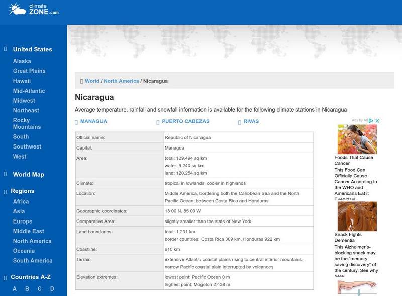
Climate Zone: Climate of Nicaragua
A guide to information about the weather of Nicaragua displayed in tables featuring average monthly temperature, rainfall, and snow days. Also included is a detailed map.
Curated OER
Educational Technology Clearinghouse: Maps Etc: Mexico and West Indies, 1855
A map of Mexico, Central America, and the West Indies showing the foreign territorial possessions and independent countries in the region in 1855. The map is color-coded to show the territorial and island possessions at the time of Spain...
Curated OER
Etc: Maps Etc: French Posts and Forts in Louisiana and New France, 1754
A map of North America showing the French posts and forts at the beginning of the French and Indian War (1754) between the French and the British. The map is color-coded to show the territorial claims of the British, French, and Spanish...
Curated OER
Etc: Original Range of the Bison, 1720 1903
A map of North America showing the original range of the American bison. The map shows the dates of local extermination, location, and numbers of wild animals in 1903 (Central Canada and the Rockies). "Beyond all doubt the most...
Curated OER
Etc: Maps Etc: Mean Average Temperatures in North America, 1906
A map from 1906 of North America showing the mean annual isotherms of the region given in degrees Fahrenheit. "The climate of North America naturally varies greatly, depending on latitude, the general atmospheric circulation or direction...
Curated OER
Educational Technology Clearinghouse: Maps Etc: Cuba and Mexico, 1903
A map from 1903 of Cuba, Isle of Pines and Jamaica, showing the provinces at the time, province capitals, major cities, towns and ports, railroads, mountains, rivers, coastal features, and smaller neighboring islands. An inset map...
Curated OER
Educational Technology Clearinghouse: Maps Etc: The Mexican War, 1846 1848
A map of central Mexico and southern United States showing the important cities and battle sites of the Mexican-American War (1846-1848). The map shows the rivers of the contested boundaries that led to the war, the Rio Grande del Norte...
Other
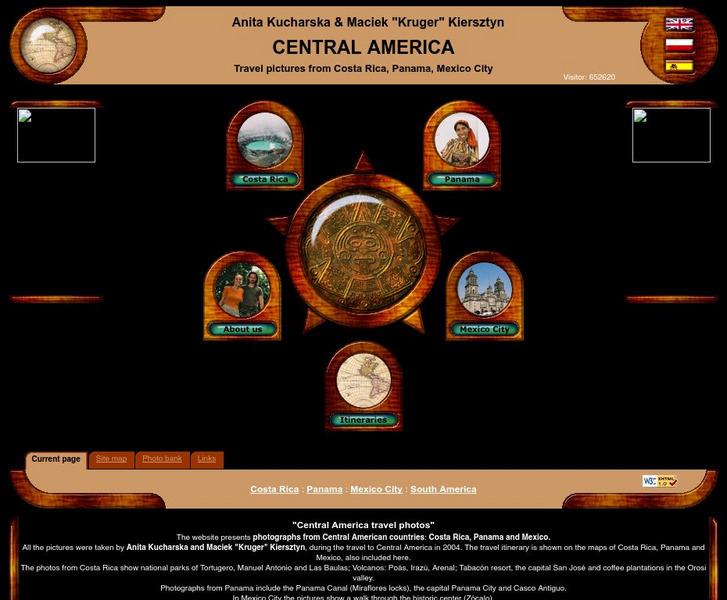
Central America Travel Pictures
Presented are photos taken during a personal trip to the Central American countries of Costa Rica, Panama and Mexico. Click on the shaded part of the map to view images.
Hans Lohninger
Photo Globe: Belize
Provides many general country facts and statistics about Belize in a well organized chart form. This site is enriched by links to maps and an image of its flag.
InterKnowledge Corp.
Geographia: Mexico Introduction
Explore the magical world of Mexico. Learn about the history and culture of this diverse country as well as tour the country through pictures.
Central Intelligence Agency
Cia: World Factbook: Peru
This resource from the CIA World Factbook provides a detailed fact sheet of Peru. The content covers the country's geography, people, government, economy, communications, transportation, military, and transnational issues. It includes...
Curated OER
Etc: Maps Etc: Orographic Chart of North America, 1891
An orographic map from 1891 of North America showing the principal mountain systems, rivers, and terrain features of the region. The map is coded to show high lands and mountain regions, and shaded regions of plains, with dark lines...
Curated OER
Educational Technology Clearinghouse: Maps Etc: Drawing of South America, 1872
A base map from 1872 illustrating instructions for drawing South America. The map shows the equator, major rivers, mountain systems, and includes two east-west cross-sections showing the central and southern Amazon Basin and Andes.
University of Texas at Austin
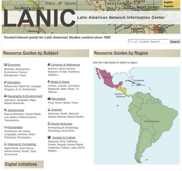
Lanic: Latin American Network Information Center
Vast network of information from and about Latin America is provided. Major topic headings include countries, economy, education, government, humanities, science, social sciences, society and culture, recreation, media and communication,...
Adventure Learning Foundation
Adventure Learning Foundation: Costa Rica
Comprehensive reference tool with an abundance of country specific information about the Central American country of Costa Rica. Content covered includes photos, symbols, history, economy, geography, climate, population, culture, maps,...


