University of Calgary
University of Calgary: The End of Europe's Middle Ages
This useful tutorial includes information about the economy, feudalism, the Holy Roman Empire and other important topics pertaining to Europe in the fourteenth and fifteenth centuries, a time of transition in European history. Easy to...
University of Texas at Austin
Perry Castaneda Library Map Collection: Historical Maps of Europe
This collection from the University of Texas Library Online of historical maps contains a wide variety of maps from various parts of Europe and from different parts of history. Each map is accompanied by a brief description and is clear...
Nations Online Project
Nations Online: Romania
A great country profile that takes you on a virtual trip to Romania in Eastern Europe. An overview is given on its art, culture, people, environment, geography, history, economy, and government. There are numerous links available that...
Nations Online Project
Nations Online: Ukraine
A great country profile that takes you on a virtual trip to the Ukraine in Eastern Europe. An overview is given on its art, culture, people, environment, geography, history, economy, and government. There are numerous links available...
Lizard Point Quizzes
Lizard Point: Europe: Countries Quiz
Try this interactive geography quiz which tests your knowledge about the countries of Europe.
Nations Online Project
Nations Online: Estonia
Great reference source that takes you on a virtual trip to the Eastern European country of Estonia. Background overview is given on its art, culture, people, environment, geography, history, economy, and government. There are numerous...
BBC
Bbc: News: Collapse of the Ussr 10 Years On
Extensive information about the collapse of the USSR. Includes an interactive timeline from 1985 through 1991, an interactive map of the countries of the USSR with country profiles and timelines, eyewitness accounts of the collapse of...
Curated OER
Educational Technology Clearinghouse: Maps Etc: North America, 1763
A map of eastern North America and the Greater Antilles showing the territorial possessions adjusted by the Peace of 1763 (Treaty of Paris) at the end of the French and Indian War (and the Seven Year War in Europe). The map is...
Central Intelligence Agency
Cia: World Factbook: Poland
This profile of Poland include a map and information about population, background, area and terrain.
Nations Online Project
Nations Online: Macedonia
Excellent online resource that provides a country profile of the Balkan nation of Macedonia, background details, and numerous links to in-depth information on the nation's culture, history, geography, economy, environment, population,...
Nations Online Project
Nations Online: Croatia
Features a virtual destination guide and country profile of the European nation of Croatia, background details, and numerous links to in-depth information on the nation's culture, history, geography, economy, tourism, environment,...
Nations Online Project
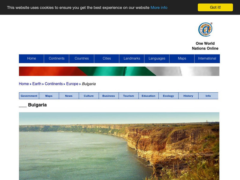
Nations Online: Bulgaria
Portrays a country profile and travel guide to Bulgaria, background overview, and numerous links to extensive information on the nation's culture, history, geography, economy, environment, tourism, population, news, government, and much...
Nations Online Project
Nations Online: Czech Republic
Here you can find a country profile and travel guide to the European country of the Czech Republic, background overview, and numerous links to extensive information on the country's culture, history, geography, economy, environment,...
Nations Online Project
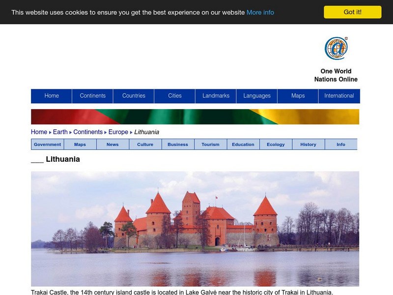
Nations Online: Lithuania
Great destination guide and country profile of Lithuania featuring a background overview, and numerous links to comprehensive information on the country's culture, history, geography, economy, environment, population, news, tourism,...
Curated OER
Etc: Maps Etc: Europe After the Congress of Vienna, 1815
A color map of Europe after the Congress of Vienna in 1815, which redrew the continent's political boundaries after the French Revolution, Napoleonic Wars, and the dissolution of the Holy Roman Empire. This map is color-coded to show...
Curated OER
Etc: Europe During the Crusades, 1095 1270
A Map of Europe during the Crusades period showing the various lands and kingdoms including the German Empire, France, Kingdoms of Norway and Sweden, Republic of Novgorod, Kaptchak, Prussia, Saxony, Kingdom of Austria, Lombardia, the...
Curated OER
Educational Technology Clearinghouse: Maps Etc: Pre Colonial Africa, 1872
A map of Africa showing the continent prior to the Berlin Conference of 1885, when the most powerful countries in Europe at the time convened to make their territorial claims on Africa and establish their colonial borders at the start of...
Curated OER
Educational Technology Clearinghouse: Maps Etc: British Isles, 1906
A map of the British Isles from 1906, showing the terrain, rivers, and coastal features of Ireland, Scotland, England, and Wales. Major cities are shown, and the map includes an inset map of the Shetland and Orkney Islands, a locator map...
Curated OER
Etc: Claims of Various European Countries to the Us, 1643 1655
A map of the eastern coast of North America showing territorial claims of Europeans and the development of the United Colonies of New England (New England Confederation) in 1643, and the territorial changes between the Dutch and British...

