Tom Richey
Tom Richey: Power Point: Medieval Europe: Franks, Feudalism, and Chivalry
Tom Richey offers a 54 slide presentation with maps on Medieval Europe and informs us about the Franks, Feudalism and Chivalry in the Middle Ages.
Other
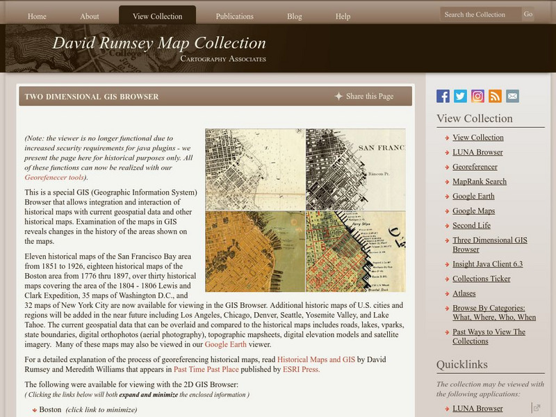
David Rumsey Historical Map Collection
The collection of more than 150,000 maps focuses on rare 18th and 19th-century maps of North and South America, although it also has maps of the World, Asia, Africa, Europe, and Oceania. The collection includes atlases, wall maps,...
Other
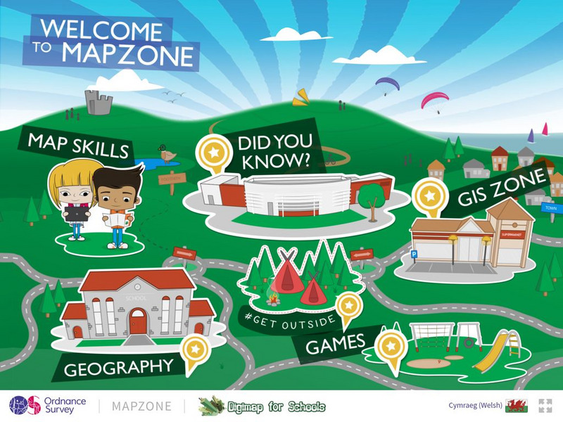
Ordnance Survey: Map Zone
All kinds of fun and interesting ways to learn about maps and acquire mapping skills.
Other
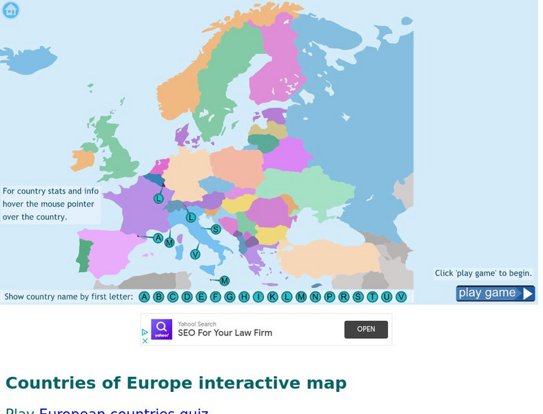
Seterra: Europe: Countries Map Quiz Game
Test your geographical knowledge of Europe and see if you can place all the countries of Europe in their correct spot!
Digital Dialects
Digital Dialects: Geography Games: Countries of Europe
Study a map showing the countries in Europe, and then try to match their names to their locations on a blank map.
That Quiz
Geografia Europa: That Quiz: Europe
Interactive practice to learn the countries of Europe. It keeps track of right and wrong answers and the time in which it takes to identify the maps.
Ducksters
Ducksters: Geography Games: Capital Cities of Europe
Play this fun geography map game to learn about the capital cites of the countries of Europe.
Other
Historical Maps: Map of Carolingian Empire
Contains a map and brief description of the Carolingian Empire in 814.
National Geographic Kids
National Geographic Kids: Portugal
Follow this interactive overview of the country's history, geography, people, government, nature, and more. A map and video are included. Adobe Flash Required.
Other
Stones of Wales
This is an interactive map of Wales, if you click on the major cities, links are provided to give more information.
Other
Stones of Wales
This is an interactive map of Wales, if you click on the major cities, links are provided to give more information.
Library of Congress
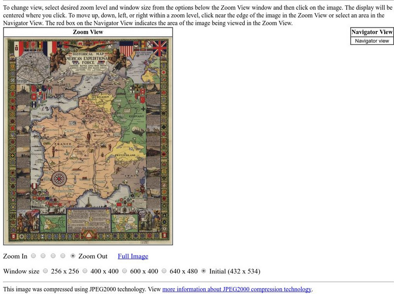
Loc: American Memory: Historical Map American Expeditionary Force
Explore this interesting historical map drawn by Ezra C. Stiles that showed the American Expeditionary Force in Europe during World War I.
Nations Online Project
Nations Online: Austria
Features a country profile of Austria, background details, and numerous links to comprehensive information on the country's culture, history, geography, economy, environment, population, news, government, maps, and much more tourism...
W. W. Norton
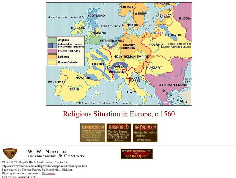
W.w. Norton & Company: Map of Religious Situation in Europe, C.1560
Colored map that illustrates the religious situation in Europe at the end of the Protestant Reformation.
Other
Smis: Daily Satellite Photo: European Russia, Western Siberia, North East Europe
This site offers weather maps for three areas: European Russia, Western Siberia, and Northeast Europe. The maps show very current weather conditions for each area.
Ducksters
Ducksters: Geography Games: Flags of Europe
Play this fun geography map game to learn about the flags of the countries of Europe.
ClassFlow
Class Flow: Maps
[Free Registration/Login Required] In this lesson three maps are displayed - Europe, the British Isles, and France. The British Isles map gives city names in French.
Antonio Salinas and Maria Jesus Egea
Vedoque: Geografia De Europa
This game is about the various countries of Europe. It has a set of questions about their locations on the map, their capitals and their flags.
Nations Online Project
Nations Online: Romania
A great country profile that takes you on a virtual trip to Romania in Eastern Europe. An overview is given on its art, culture, people, environment, geography, history, economy, and government. There are numerous links available that...
Nations Online Project
Nations Online: Ukraine
A great country profile that takes you on a virtual trip to the Ukraine in Eastern Europe. An overview is given on its art, culture, people, environment, geography, history, economy, and government. There are numerous links available...
Encyclopedia of Earth
Encyclopedia of Earth: Jan Mayen (Norway)
The Encyclopedia of Earth provides an overview of Jan Mayen (Norway), including its geography, natural resources, history, government, economy, and much more. Maps and images are also included, along with sources used to create the entry.
BBC
Bbc: News: Collapse of the Ussr 10 Years On
Extensive information about the collapse of the USSR. Includes an interactive timeline from 1985 through 1991, an interactive map of the countries of the USSR with country profiles and timelines, eyewitness accounts of the collapse of...
National Geographic
National Geographic: Observing Physical and Cultural Landscapes
In this lesson, students examine photographs of Europe as they learn to distinguish between physical and cultural characteristics of a landscape, and make observations and inferences about the places and people in the photographs. They...
ClassFlow
Class Flow: Europe Map Review
[Free Registration/Login Required] This is a one page flipchart that uses the Magic Eraser tool to review European countries.
Other popular searches
- Blank Maps of Europe
- Outline Maps of Europe
- Geography Maps of Europe
- Maps of Europe 1914
- Maps of Europe Political
- Maps of Europe Ppt
- Maps of Europe Pot
- Maps of Europe 1919
- Europe Maps
- Europe Outline Maps
- Europe Geography Maps
- Western Europe Maps

