Other
Mapping Margery Kempe: Guide to Late Medieval Material
Margery Kempe's spiritual biography is often called the first autobiography in English this provides access to the material culture of Kempe's 15th century world.
Ducksters
Ducksters: Geography for Kids: European Countries
Learn about Europe and the countries of Europe. Facts such as geography, flags, maps, exports, natural resources, and languages are on this website.
National Geographic
National Geographic: Looking Back, Looking Forward
Lesson reviews what middle schoolers have learned in the unit on European cultural and physical landscape. Students compare maps, questions and ideas from the beginning of the unit and identify new questions for research.
Georgia Department of Education
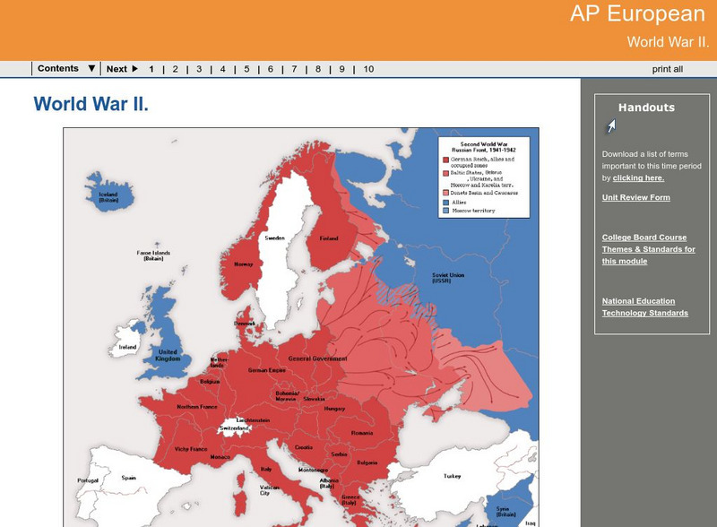
Ga Virtual Learning: Ap European: World War Ii
AP European History learning module on World War II traces the beginnings of the war from a dissillusioned Europe through the course of the war. Module includes assignments, enrichment activities, downloads, maps and assessment for...
Pamela Seed
Rice: Latitude: The Art and Science of 15th Century Navigation
This is a great site to read about how navigation began in Europe and what tools were used. Make sure to read the segments on coastal navigation, maps, and ocean currents.
Other
Manitobia Life and Times: World War 1 .. The War at Home
All Canadians were greatly affected by the war in Europe. The situation at home, enlistments, conscription, alien immigrants, and the changes occurring after the war ended are each reviewed in detail.
Virginia Tech
Digital History Reader: 1917 Did the War Cause a Revolution?
A comprehensive unit evaluating what factors led to the Russian revolution in 1917. Understand the circumstances in Russia during WWI, timelines, maps, photos, writing assignments, and a bibliography for further studies.
Other
Normandie Tourisme: D Day and the Battle of Normandy
This official site provides a history of D-Day, photos, chronology, and excellent interactive maps.
ClassFlow
Class Flow: European Capitals Quiz
[Free Registration/Login Required] Using the Activote system, students will look at a map of Europe to identify the country and then select that country's capital city. There are 28 questions.
Enchanted Learning
Enchanted Learning: The Continents
Brightly colored printouts, maps, and graphics on the greatest land masses on earth. See how continental drift works, look up extremes, label maps, learn about latitude, longitude and other geography terms. Teachers will find a Landforms...
BBC
Bbc: Nato's Cold War Roots
A fantastic history of NATO. From its inception after WWII to its call to action during the Kosovo crisis, the BBC does a great job of giving readers a well-rounded look at the institution. Includes a map with all member countries as...
Other
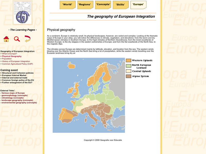
The Learning Pages: Geography of European Integration
This page has a map showing the 4 different types of land located in Europe. Information is provided on Europe as well as links to more maps and information.
Science Struck
Science Struck: A to Z List of European Countries and Their Capitals
Presents a map and an alphabetical list of all the European countries and their capital cities.
SMART Technologies
Smart: World Map
This lesson features a world map with labeled countries, a global map, and an interactive map of the seven continents.
Boise State University
Boise State: World at War: Set the Stage
This 1815 map of Europe is a result of the Congress of Vienna creating a balance of power between the five most powerful countries in Europe. The countries competed in nearly everything, which made it almost inevitable that war would come.
The History Cat
The History Cat: Treaty of Versailles: Peace Returns
Describes what happened at the end of World War I - the celebrations and the unnecessary final battles - as the Big Four (France, Britain, the United States, and Italy) sat down to begin negotiations for the Treaty of Versailles....
Metropolitan Museum of Art
Metropolitan Museum of Art: Trade Routes Between Europe & Asia During Antiquity
Long-distance trade played a major role in the cultural, religious, and artistic exchanges that took place between the major centers of civilization in Europe and Asia during antiquity. Some of these trade routes had been in use for...
Nations Online Project
Nations Online: Greece
Offers an excellent online resource and country profile of Greece located in Southern Europe, background overview, and numerous links to comprehensive information on the country's culture, history, geography, economy, environment,...
Encyclopedia of Earth
Encyclopedia of Earth: Iceland
The Encyclopedia of Earth provides an overview of Iceland, including its geography, natural resources, history, government, economy, and much more. Maps and images are also included, along with sources used to create the entry.
Central Intelligence Agency
Cia: World Factbook: Poland
This profile of Poland include a map and information about population, background, area and terrain.
Encyclopedia of Earth
Encyclopedia of Earth: British Indian Ocean Territory (United Kingdom)
Provides an overview of British Indian Ocean Territory (United Kingdom), including its geography, natural resources, history, government, economy, and much more. Maps and images are also included, along with sources used to create the...
Khan Academy
Khan Academy: Transatlantic Trade
An overview of the Transatlantic Trade whereby Europe, Africa, and the America's engaged in a network of people, raw materials, finished goods, merchants, and sailors bringing wealth to colonial empires. The consequences of the...
Other
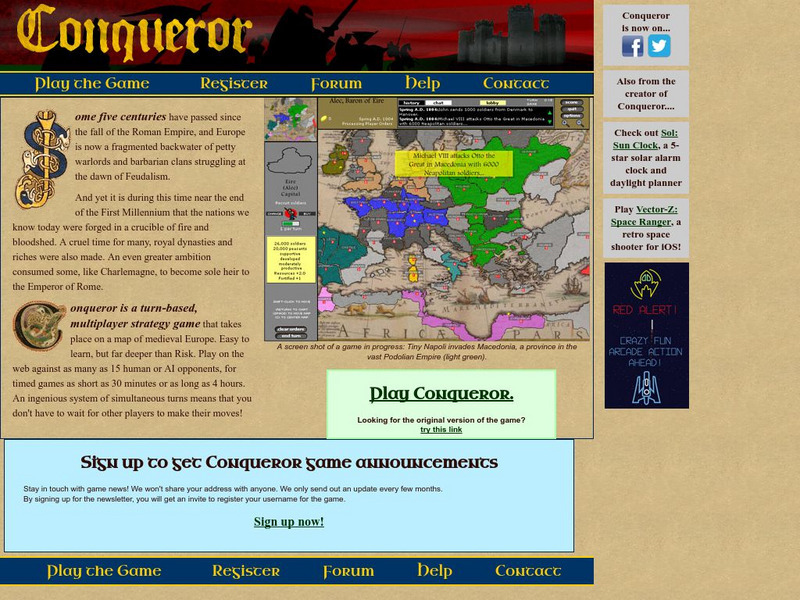
Conqueror
Conqueror is a multiplayer strategy game that takes place on a map of medieval Europe at the end of the first millennium. A player takes control of a certain nation based on the European map and plays against either Al or other players...
Other popular searches
- Blank Maps of Europe
- Outline Maps of Europe
- Geography Maps of Europe
- Maps of Europe 1914
- Maps of Europe Political
- Maps of Europe Ppt
- Maps of Europe Pot
- Maps of Europe 1919
- Europe Maps
- Europe Outline Maps
- Europe Geography Maps
- Western Europe Maps
