Hi, what do you want to do?
World Atlas
World Atlas: Europe
A comprehensive guide to Europe including a variety of maps, statistics, facts, and information on history, geography, flags, symbols, travel, and much more.
Encyclopedia of Earth
Encyclopedia of Earth: Czech Republic
The Encyclopedia of Earth provides an overview of Czech Republic, including its geography, natural resources, history, government, economy, and much more. Maps and images are also included, along with sources used to create the entry.
Encyclopedia of Earth
Encyclopedia of Earth: Jersey (United Kingdom)
The Encyclopedia of Earth provides an overview of Jersey (United Kingdom), including its geography, natural resources, history, government, economy, and much more. Maps and images are also included, along with sources used to create the...
Encyclopedia of Earth
Encyclopedia of Earth: Jan Mayen (Norway)
The Encyclopedia of Earth provides an overview of Jan Mayen (Norway), including its geography, natural resources, history, government, economy, and much more. Maps and images are also included, along with sources used to create the entry.
Encyclopedia of Earth
Encyclopedia of Earth: Bosnia and Herzegovina
Provides an overview of Bosnia and Herzegovina, including its geography, natural resources, history, government, economy, and much more. Maps and images are also included, along with sources used to create the entry.
Encyclopedia of Earth
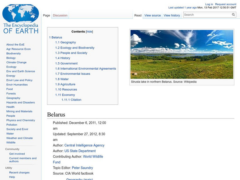
Encyclopedia of Earth: Belarus
Provides an overview of Belarus, including its geography, natural resources, history, government, economy, and much more. Maps and images are also included, along with sources used to create the entry.
Encyclopedia of Earth
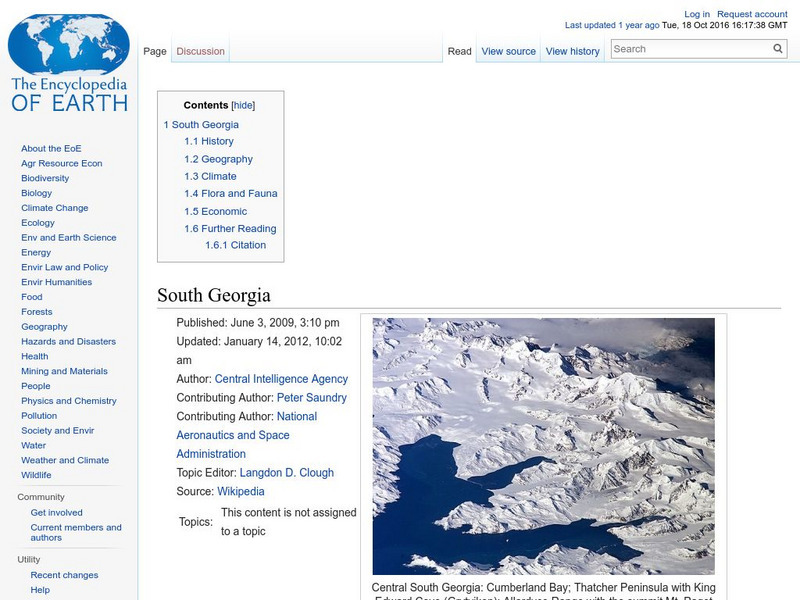
Encyclopedia of Earth: South Georgia & the South Sandwich Islands (Uk)
The Encyclopedia of Earth provides an overview of Sandwich Islands (United Kingdom), including its geography, natural resources, history, government, economy, and much more. Maps and images are also included, along with sources used to...
Encyclopedia of Earth
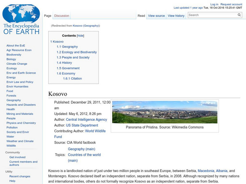
Encyclopedia of Earth: Kosovo
The Encyclopedia of Earth provides an overview of Kosovo, including its geography, natural resources, history, government, economy, and much more. Maps and images are also included, along with sources used to create the entry.
Encyclopedia of Earth
Encyclopedia of Earth: Ireland (Republic)
The Encyclopedia of Earth provides an overview of Ireland (Republic), including its geography, natural resources, history, government, economy, and much more. Maps and images are also included, along with sources used to create the entry.
Encyclopedia of Earth
Encyclopedia of Earth: Bulgaria
The Encyclopedia of Earth provides an overview of Bulgaria, including its geography, natural resources, history, government, economy, and much more. Maps and images are also included, along with sources used to create the entry.
Encyclopedia of Earth
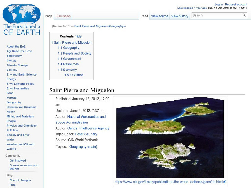
Encyclopedia of Earth: Saint Pierre and Miguelon (France)
The Encyclopedia of Earth provides an overview of Miguelon (France), including its geography, natural resources, history, government, economy, and much more. Maps and images are also included, along with sources used to create the entry.
Encyclopedia of Earth
Encyclopedia of Earth: New Caladonia (France)
The Encyclopedia of Earth provides an overview of New Caladonia (France), including its geography, natural resources, history, government, economy, and much more. Maps and images are also included, along with sources used to create the...
Encyclopedia of Earth
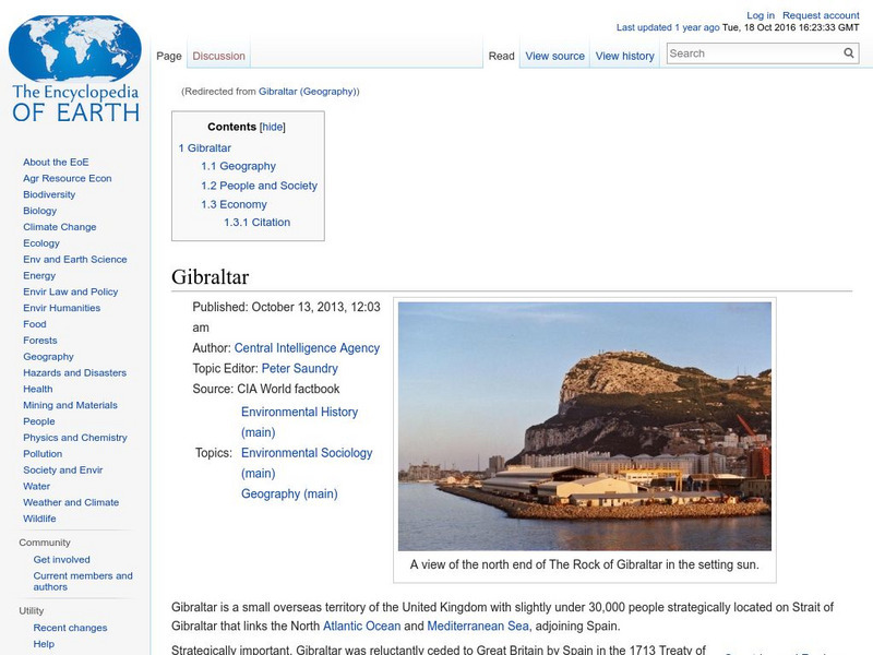
Encyclopedia of Earth: Gibraltar (United Kingdom)
The Encyclopedia of Earth provides an overview of Gibraltar (United Kingdom), including its geography, natural resources, history, government, economy, and much more. Maps and images are also included, along with sources used to create...
Encyclopedia of Earth
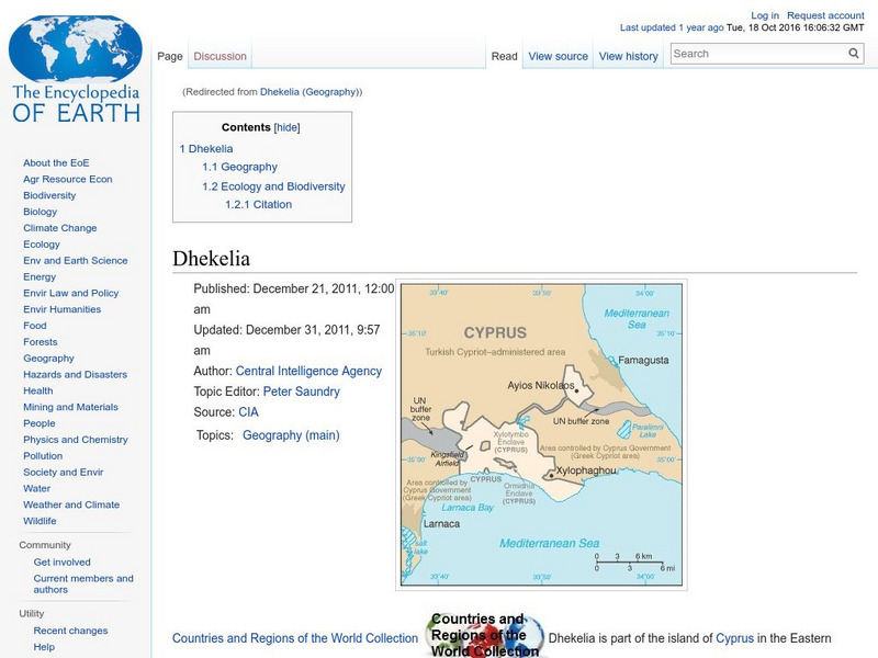
Encyclopedia of Earth: Dhekelia (United Kingdom)
The Encyclopedia of Earth provides an overview of Dhekelia (United Kingdom), including its geography, natural resources, history, government, economy, and much more. Maps and images are also included, along with sources used to create...
Encyclopedia of Earth
Encyclopedia of Earth: Curacao (Netherlands)
The Encyclopedia of Earth provides an overview of Curacao (Netherlands), including its geography, natural resources, history, government, economy, and much more. Maps and images are also included, along with sources used to create the...
Encyclopedia of Earth
Encyclopedia of Earth: Isle of Man (United Kingdom)
The Encyclopedia of Earth provides an overview of Isle of Man (United Kingdom), including its geography, natural resources, history, government, economy, and much more. Maps and images are also included, along with sources used to create...
That Quiz
Geografia Europa: That Quiz: Europe
Interactive practice to learn the countries of Europe. It keeps track of right and wrong answers and the time in which it takes to identify the maps.
Pamela Seed
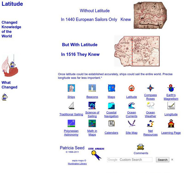
Rice: Latitude: The Art and Science of 15th Century Navigation
This is a great site to read about how navigation began in Europe and what tools were used. Make sure to read the segments on coastal navigation, maps, and ocean currents.
National Endowment for the Humanities
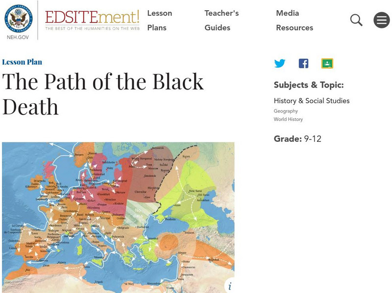
Neh: Edsit Ement: The Path of the Black Death
The Black Death caused a radical alteration in population and dramatic changes in society. In this lesson, young scholars will analyze maps, documents, and firsthand accounts to trace the effects of the Black Death in Europe.
Curated OER
Map of Germany
BBC News offers a general overview of Europe's most populous country, Germany. Focus is on history, current information, country facts, political leaders, and news media. Provides links to a timeline of key events, recent news articles,...
Other
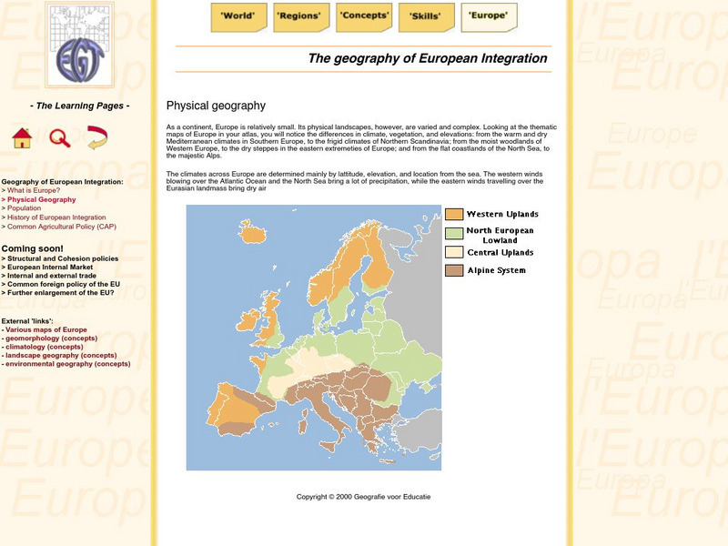
The Learning Pages: Geography of European Integration
This page has a map showing the 4 different types of land located in Europe. Information is provided on Europe as well as links to more maps and information.
Other
The Ancient Theatre Archive
Pictoral tour of ancient Greek and Roman theaters. Click on particular countries on the map of Europe to zoom into them. Then click on particular cities for pictures and brief descriptions of theaters within them.
Boise State University
Boise State: World at War: Set the Stage
This 1815 map of Europe is a result of the Congress of Vienna creating a balance of power between the five most powerful countries in Europe. The countries competed in nearly everything, which made it almost inevitable that war would come.
Curated OER
Etc: Comparative Projections of Asia, 1800 1899
A map using comparative map projections of Asia, as part of a hemisphere and on a Mercator's projection, to illustrate European misconceptions of land claims during territorial colonialism. In the 19th century, European powers were...
Other popular searches
- Blank Maps of Europe
- Outline Maps of Europe
- Geography Maps of Europe
- Maps of Europe 1914
- Maps of Europe Political
- Maps of Europe Ppt
- Maps of Europe Pot
- Maps of Europe 1919
- Topography Maps of Europe
- Blank Maps of Europerating=3
- Maps of European Renaissance
- Blank Maps of Europe Cold War


