Maps of Mexico
Virtual Picture Travel Map of Massachusetts
Click on Massachusetts on the US map in order to Travel there and take a virtual tour of Boston. Visit places of interest such as Harvard University, MIT, John F. Kennedy Library and Museum, the Freedom Trail, Copley Square, Trinity...
CRW Flags
Flags of the World: Clickable Map of the United States
Includes both printable images and fascinating trivia behind the flag of each state. It includes alternate flags used in the past.
University of California
Earthguide: Maps: Shaded Relief: Gulf of Mexico [Pdf]
View and/or print a colored shaded relief map of the Gulf of Mexico. PDF (requires Adobe Reader)
Foundation for the Advancement of Mesoamerican Studies
Famsi: Map of Maya Area
Map shows the locations of Mayan sites in Belize, El Salvador, Guatemala, Honduras and Mexico.
Curated OER
Educational Technology Clearinghouse: Maps Etc: War With Mexico, 1846 1848
A map of Mexico and southern United States showing the campaigns and battle sites of the Mexican-American War (1846-1848). The map shows the territory acquired from Mexico after the war, and the routes of Taylor, Wool, Kearny, Doniphan,...
Curated OER
Educational Technology Clearinghouse: Maps Etc: War With Mexico, 1846 1848
A map of Mexico and southern United States showing the campaigns and battle sites of the Mexican-American War (1846-1848). The map shows the routes of Taylor, Wool, Kearny, Doniphan, and Scott, the pre-war boundaries of the United States...
Curated OER
Educational Technology Clearinghouse: Maps Etc: The Mexican War, 1846 1848
A map of Mexico and southern United States showing the campaigns and battle sites of the Mexican-American War (1846-1848). The map shows the routes of Taylor, Wool, Kearny, Doniphan, and Scott, the pre-war boundaries of the United States...
Curated OER
Educational Technology Clearinghouse: Maps Etc: Cuba and Mexico, 1903
A map from 1903 of Cuba, Isle of Pines and Jamaica, showing the provinces at the time, province capitals, major cities, towns and ports, railroads, mountains, rivers, coastal features, and smaller neighboring islands. An inset map...
Curated OER
Map of Mexico
Take a tour through the country of Mexico in this enchanting site. Students will learn about the culture and visit with the people as they explore the geography, history, and environment of Mexico. It includes maps, classroom activities,...
Curated OER
Educational Technology Clearinghouse: Maps Etc: Cortes in Mexico, 1519
A map showing the expedition of Hernan Cortes in 1519. This expedition was the third to the mainland and took him all the way into Mexico. This map shows the route from the Battle of Cintla (Tabasco) to Veracruz (Villa Rica de la Vera...
Curated OER
Educational Technology Clearinghouse: Maps Etc: Climatic Regions of Mexico, 1899
A map from 1899 of Mexico showing the general climate divisions of the region, including areas of warm climate, temperate climate, and cold climate. "The Tropic of Cancer crosses Mexico near the center. The low, hot, and moist coast...
Curated OER
Etc: Maps Etc: Political Divisions of Mexico, 1916
A map from 1916 of Mexico showing the political divisions of states and territories (Quinana Roo on the Yucatan Peninsula, Tepic on the Gulf of California, and Baja California) at the time, including the state capitals and the Federal...
Curated OER
Educational Technology Clearinghouse: Maps Etc: Northeast Mexico, 1846 1848
A map of eastern Mexico along the Gulf showing important battle sites during the Mexican-American War (1846-1848), including Matamoros, Monterey, and Buena Vista during the Taylor campaign, and Vera Cruz and Mexico City during the Scott...
Curated OER
Educational Technology Clearinghouse: Maps Etc: The Lake of Mexico, 1722
A map from the book 'Voyages de Francois Coreal aux Indes Occidentales’ (Amsterdam, 1722) showing the environs of the Lake of Mexico (Lake Texcoco or Lago Texcoco, sometimes called Tezcuco), including islands and causeways, marshlands,...
Curated OER
Etc: Vicinity of the City of Mexico, 1846 1848
A map of the area around Mexico City showing important sites of General Scott's campaign in the Mexican&ndash:American War (1846-1848). The map shows Lake Joltoca, Lake Cristobal, Lake Tezuco, Lake Xochimilco, and Lake Chalco, and...
Curated OER
Etc: Maps Etc: City of Mexico and Suburban Towns, 1899
"The city [Mexico City] is in what is called the Federal District, covering an area of some four hundred and fifty square miles - the government of the district like the District of Columbia is directed, by the national legislature,...
Curated OER
Educational Technology Clearinghouse: Maps Etc: The Isthmus of Tehuantepec, 1852
A map from 1852 of the Isthmus of Tehuantepec in Mexico, showing the proposed railroad route connecting the Gulf of Mexico and the Pacific. This was an alternative proposal to the construction of the Panama or Nicaragua canals, and was...
Curated OER
Etc: Mexico, Guatemala, and West Indies, 1492 1607
Mexico, Guatemala, and the West Indies.
Curated OER
Educational Technology Clearinghouse: Maps Etc: Vicinity of Mexico, 1847
A map of the vicinity of Mexico City showing the route of General Scott from Puebla to the city during the Mexican-American War (1847), including operations and battle sites in the area.
Curated OER
Etc: Maps Etc: General Plan of Mitla, Oaxaca, 1644
A facsimile of a sketch map by Adolph Bandelier (1885) of the pre-Columbian archeological site at Mitla, Oaxaca, Mexico (sometimes Miquitlan, Mictlan). The map is keyed to show (A) the ruins on the highest ground, with a church and...
Curated OER
Educational Technology Clearinghouse: Maps Etc: The Yucatan, 1882
A map of the Yucatan Peninsula showing the explorations of Dr. Desire Charney in 1882. The map shows the Mayan sites visited, including Palenque, Uxmal, Kabah, Acanceh, Ake, Izamal, and Chichenitza, and the territories of the Lacandon...
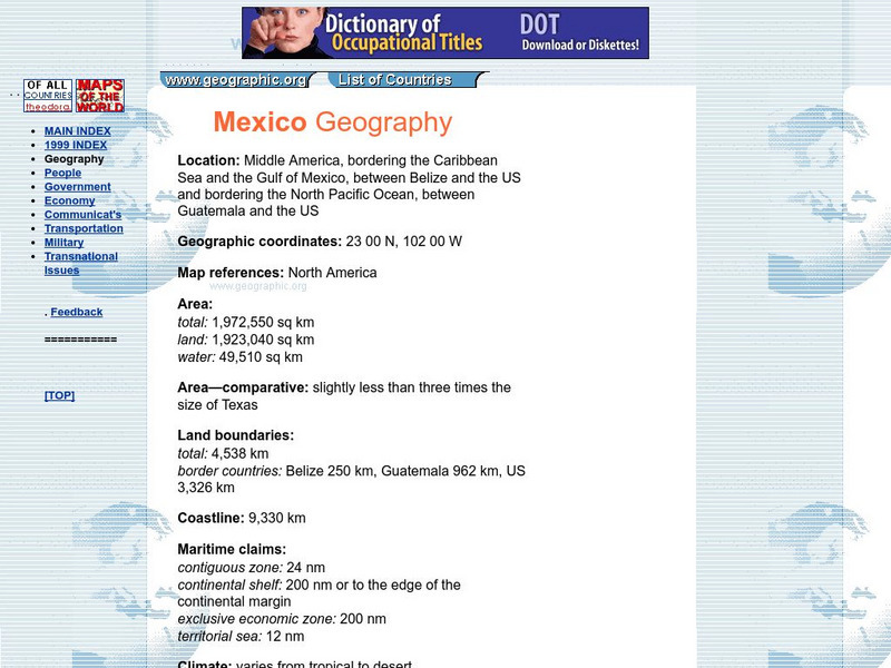
Geographic
Mexico Geography Flags, Maps, Economy, Geography, Clim
Short country profile with location, geographic coordinates, comparison of size with US states, etc.
Other
Nmbgmr: Resources for Teachers
Locate a variety of maps on New Mexico's minerals and resources, read issues of "Lite Geology," take virtual tours of state sites, and find games, puzzles, and activities for young people.


