Other
Nmbgmr: Resources for Teachers
Locate a variety of maps on New Mexico's minerals and resources, read issues of "Lite Geology," take virtual tours of state sites, and find games, puzzles, and activities for young people.
Other
Nmbgmr: Resources for Teachers
Locate a variety of maps on New Mexico's minerals and resources, read issues of "Lite Geology," take virtual tours of state sites, and find games, puzzles, and activities for young people.
Houghton Mifflin Harcourt
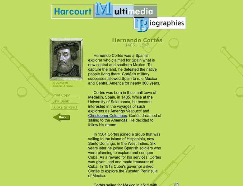
Harcourt: Biographies: Hernando Cortes 1485 1547
Furnished is a brief summary of the life and explorations of Spanish explorer, Hernando Cortes. Take a look at the photos and maps of his journey of what today is called Mexico.
E-learning for Kids
E Learning for Kids: Science: Caribbean Sea: Mexico: What Is Classifying?
Christina wants to classify all kinds of different things. Help her sort things into main groups.
E-learning for Kids
E Learning for Kids: Science: Mexico: What Is a Habitat?
Sofia came back from a trip around the world. She noticed how each animal she saw belonged to a certain habitat. Help her learn about animal habitats and the species that live there.
Curated OER
Perry Castaneda Map Collection: Latin America Map
This political map of Latin America and South America is in color and features major cities.
BBC
Bbc: Bp Oil Disaster
Up to the minute news on the disastrous Gulf of Mexico oil spill of 2010. The BBC reports on the impact on the environment and provides an interactive guide to stopping the leak itself. In addition, find maps that clearly define the...
Annenberg Foundation
Annenberg Learner: Journey North: Monarch Butterfly
The beautiful monarch butterfly is the focus of this elaborate site. Links to photos, video clips, cycle of life, seasonal charts, migration maps, and stories from Mexico are also included. Terrific site for students to explore!
National Weather Service
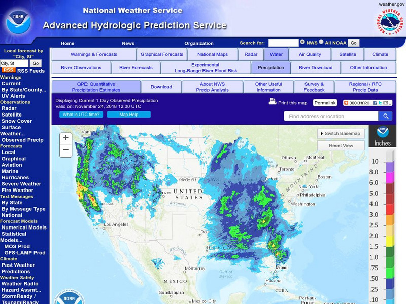
National Weather Service:climate Prediction Center: Daily Precipitation Analysis
Find real-time daily precipitation analysis for the United States, Mexico, and South America as well as accumulated precipitation maps for the past 30 or 90 days.
Other
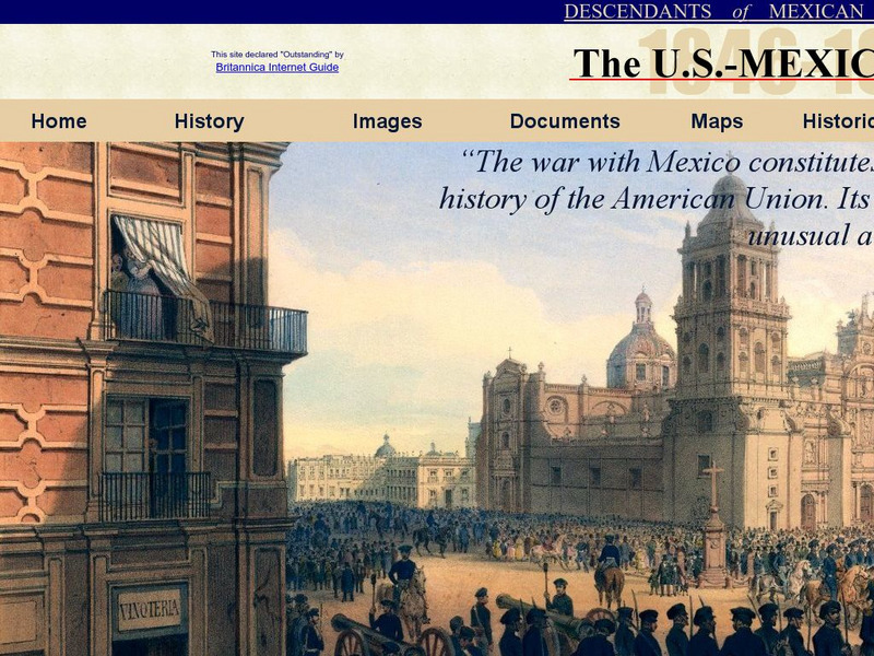
Dmwv: The u.s. Mexican War: 1846 1848
Dedicated to the memory of U.S. veterans who fought in the U.S.-Mexican War, this website provides documents, images, maps, and FAQs.
Curated OER
Etc: Maps Etc: General Scott's Campaign in Mexico, 1847
A map of the 1847 campaign of General Scott from Veracruz to the City of Mexico during the Mexican-American War (1846-1848). The map shows the battle site of the Castle of San Juan Ulloa, Cerro Gordo, Molino Del Rey, Chapultepec, Casa...
Curated OER
Educational Technology Clearinghouse: Maps Etc: War With Mexico, 1846 1848
A map of Texas, New Mexico, and northern Mexico showing the principal campaigns and battle sites of the Mexican-American War of 1846-1848.
Curated OER
Etc: Territory Ceded by Mexico, 1845 1853
A map of the territory acquired from Mexico including the annexation of Texas in 1845, California, Utah Territory, and New Mexico Territory in 1848, and the Gadsden Purchase in 1853.
Curated OER
Etc: Territory Acquired From Mexico, 1845 1848
A map of the territory acquired from Mexico including the annexation of Texas in 1845 and California, Utah Territory, and New Mexico Territory in 1848.
Curated OER
Etc: The West Indies and Mexico, 1898 1906
A map from 1907 of Mexico, Central America, and the West Indies (Greater Antilles to Puerto Rico) between the Spanish-American War in 1898 and the Third Pan-American Conference in 1906. The map shows the political boundaries in 1906,...
Curated OER
Etc: Maps Etc: Drawing Mexico and Central America, 1872
A map exercise from 1872 for drawing Mexico and Central America. The map shows the general outline of the coasts, major waters and rivers.
Curated OER
Etc: Maps Etc: Dispute Between United States and Mexico, 1846
A map showing the disputed territory in 1846 between the Nueces River, claimed to be the territory boundary by Mexico, and the Rio Grande River, claimed to be the boundary by the Republic of Texas. The map also shows the old Spanish...
Curated OER
Etc: West Indies and Mexico, 1898 1906
A map of the West Indies and Mexico between 1898 and 1906, showing political boundaries at the time, capitals, major cities and ports, railroads and canals, rivers, terrain, islands, and coastal features of the region. Inset maps detail...
Curated OER
Etc: Maps Etc: Geology of Mexico and Central America, 1910
A map from 1910 of Mexico and Central America, showing the distribution of rocks and indicating the geologic time period they come from.
Curated OER
Educational Technology Clearinghouse: Maps Etc: New Mexico, Post World War I
New Mexico.
