Maps of Mexico
Virtual Picture Travel Map of Arizona
Travel to Arizona and take a virtual tour of Phoenix and the Grand Canyon. While in Phoenix visit places of interest such as the Roosevelt Dam, Goldfield Ghost Town and the State Capital Museum.
Maps of Mexico
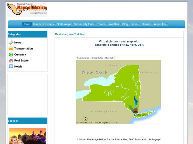
Virtual Picture Travel Map of New York
Click on New York and take a virtual tour of Manhattan. Visit places of interest such as Ellis Island, the Brooklyn Bridge, the Empire State Building, Times Square, Rockefeller Center and the Central Park Zoo. Uses popups.
Curated OER
(Maps Of) the Mexican Revolution: 1910 1920
Five maps of the Mexican Revolution, with battle sites and areas of power.
Curated OER
(Maps Of) the Mexican Revolution: 1910 1920
Five maps of the Mexican Revolution, with battle sites and areas of power.
A&E Television
History.com: The States
Learn unique facts about each American state. You can also read a more in-depth history of each state, watch videos and play a game about all the states.
Kidport
Kidport: United States of America Geography
This site contains a fun way to learn about the states within the United States. Click on the state that you want to learn more about and it provides facts, geographic landmarks, points of interest, major industries, a quiz and more.
Curated OER
Etc: The Mexican American War, 1846 1848
A map of Mexico and southwestern United States showing the seat of war during the Mexican-American War (1846-1848). The map shows the campaign routes of Kearney, Taylor, Doniphan, Wool, and Scott, with battle sites indicated by...
NOAA
Noaa: Gulf Oil Spill Educational Resources
NOAA provides educational resources regarding the Gulf of Mexico oil spill such as imagery, animations, videos, lessons, activities, real world data, trajectory maps, and background information. Lessons such as Cleaning Oiled Feathers...
Adventure Learning Foundation
Adventure Learning Foundation: Tarahumara Indians
Take a virtual expedition and explore the culture of the Tarahumara Indians in Mexico's Copper Canyon. Features history, maps, lesson plans, and a photo journal.
Other
Uintah Basin Tah Project: Dominguez and Escalante Expedition 1776
The Dominguez-Escalante Expedition of 1776 was tasked with finding a route overland from Santa Fe, New Mexico to a Spanish mission in northern California. This page provides biographies of the people on this journey as well as the maps...
Curated OER
Etc: Route of the Us Army in Mexican American War, 1846 1848
A map of the area between Mexico City and Vera Cruz showing the route of General Scott during his campaign in the Mexican-American War (1847). The map shows the battle sites, including the siege of Fort San Juan de Ulloa and Vera Cruz,...
Library of Congress
Loc: The Cultures and Histories of the Americas
An online exhibit of a vast array of documents, artifacts, and maps detailing cultures in the Americas including the indigenous groups as well as Europeans after contact. From the Library of Congress.
InterKnowledge Corp.
Geographia: Latin America
This Geography portal to Latin America features maps, photos, and drawings relating to each country. Click on desired country icon to see related pages.
Foundation for the Advancement of Mesoamerican Studies
Famsi: Gulf Coast Area
The map here shows the Gulf Coast area of Mexico and the locations of modern and ancient cities and towns, including Olmec sites.
Mex Connect
Mex Connect: Jalisco
MexConnect offers a map showing all the major cities located in Jalisco, Mexico.
Curated OER
Etc: Maps Etc: Orographic Chart of North America, 1891
An orographic map from 1891 of North America showing the principal mountain systems, rivers, and terrain features of the region. The map is coded to show high lands and mountain regions, and shaded regions of plains, with dark lines...
Curated OER
Etc: Maps Etc: Commercial Map: United States, Canada, Mexico, 1904
North American commercial activities including: major agricultural crops (barley, corn, wheat, coffee, tobacco, et cetera) and secondary agricultural crops (oranges, lumber, wine); primary mining extraction (coal, gold, silver,...
Curated OER
Map Showing Veracruz, Site of the French Invasion
Origins of this Mexican Holiday date back to the Battle of Puebla in 1862. This site explores the events that make this a special date in Mexican history.
Curated OER
Inscription Rock, New Mexico
Two maps and four accounts of the Spanish exploration of North America that reflect the goals of the conquistadors and fascination with the land they examined-and the brutality of their treatment of native peoples.
Other
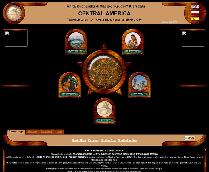
Central America Travel Pictures
Presented are photos taken during a personal trip to the Central American countries of Costa Rica, Panama and Mexico. Click on the shaded part of the map to view images.
Wikimedia
Wikipedia: Pacific Ring of Fire
Wikipedia offers information on the location of the Pacific Ring of Fire, an area of frequent earthquakes and volcanic eruptions. Map included.
Cayuse Canyon
The Us50
This clickable map of the United States gives students access to research information from history and tourism to attractions and famous historic figures.
Curated OER
Etc: The Territory of the United States, 1845 1886
A map from 1886 of the United States showing the territories ceded by Mexico and the acquisition of Alaska. The map is color-coded to show the possessions of the United States, Great Britain, and Mexico at the time, and the Mexican...
Curated OER
Etc: Early Voyages of Spaniards in the West Indies, 1512 1580
A map of the Gulf of Mexico and Caribbean showing the voyage routes of the early European explorers in the region between 1512 and 1580. The map shows the routes of Alonzo de Ojeda to Darien Colombia, Balboa to the Pacific, Juan Ponce de...


