Curated OER
Etc: Maps Etc: The Dominion of New Zealand, 1912
A map of New Zealand from 1912 showing provinces, cities, towns, ports, mountain ranges, rivers, lakes, and coastal features. The map notes that the provincial system of government was established in 1852, and abolished in 1875. An inset...
Curated OER
Etc: Maps Etc: United States Canal Zone Isthmus of Panama, 1912
A map from 1912 of the United States Canal Zone in Panama. The map shows the location of the canal, the deepened approaches to the canal, and the locks. The map also shows mountain ranges, railroads, projected railroads, post offices,...
Curated OER
Educational Technology Clearinghouse: Maps Etc: Philippine Islands, 1912
A map from 1912 of the Philippine Islands showing cities, waterways, mountain ranges, and railways. Includes insert maps of the Batan and Babuyan Islands and the city of Manila.
Curated OER
Educational Technology Clearinghouse: Maps Etc: Europe, 1880
A map of Europe in 1880 after the establishment of the New German Empire. Shows the location of political borders as well as cities, waterways, and mountain ranges.
Curated OER
Educational Technology Clearinghouse: Maps Etc: Italy, 1904
A geo-political map of Italy showing country and region borders current to 1904, major cities, railroad lines, and navigable rivers. Physical features include mountain ranges with elevation measured in feet, major rivers and watersheds,...
Curated OER
Etc: United States Showing Acquisition of Territory, 1783 1900
A map from 1911 of the United States and its territories between 1783 and 1900 showing the nation's expansion and date of acquisition of each state or territory. The map also shows major cities, waterways, and mountain ranges. Includes...
Curated OER
Etc: United States Showing Acquisition of Territory, 1783 1900
A map from 1912 of the United States and its territories between 1783 and 1900 showing the nation's expansion and date of acquisition of each state or territory. The map also shows major cities, waterways, and mountain ranges. Includes...
Curated OER
Educational Technology Clearinghouse: Maps Etc: New Hampshire, 1903
A map from 1903 of New Hampshire showing the capital of Concord, counties and county seats, principal cities and towns, railroads, rivers, and mountain ranges. "New Hampshire, one of the New England States of the American Union, lies...
Curated OER
Educational Technology Clearinghouse: Maps Etc: Nevada, 1903
A map from 1903 of Nevada showing counties and county seats, principal cities and towns, mountain ranges, and rivers. "Nevada, one of the most western of the States of the American Union, was formed from a portion of the territory...
Other
Harper College: South Asia Physical Geography
This is a map quiz of the physical features of South Asia. It contains lists of land bodies, rivers, and water bodies to be matched to a map of South Asia. It can be used as a study tool.
Other
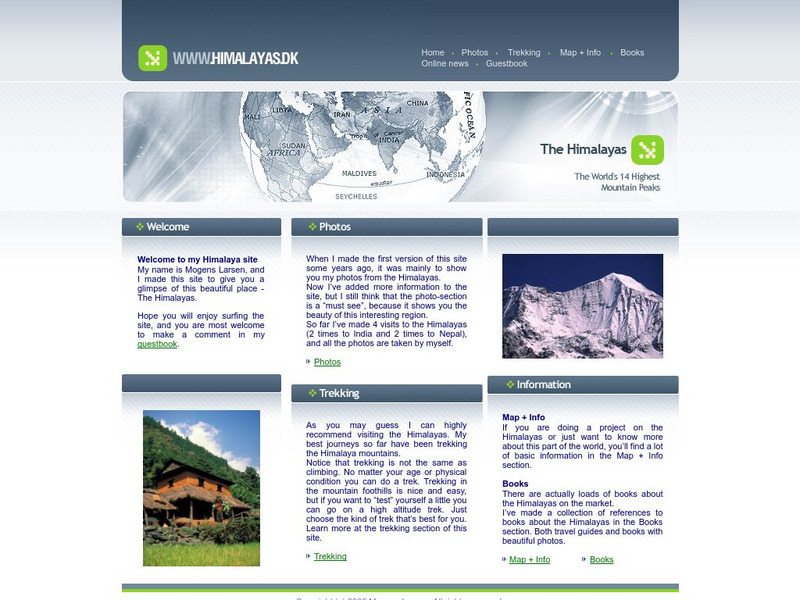
The Himalayas
This site contains helpful information and photos of the Himalayas. Learn valuable information from world traveler Mogens Larsen and journey with him to the enchanting Himalaya Mountains.
Curated OER
Educational Technology Clearinghouse: Maps Etc: South China, 1971
"South China comprises the drainage basins of the middle and lower Yangtze River, the basin of the His Chiang (West River) in Kwangtung and Kwangsi; and the mountainous coastal provinces of Fukien and Chekiang. The division between the...
Curated OER
Educational Technology Clearinghouse: Maps Etc: Southern Rockies, 1911
A map from 1911 of the southern Rockies showing the main topographic features of the region, including; the eastern foothills (hogback topography); the Colorado or Front Range and Wet Mountains; the Park, Sawatch (or Saguache), and...
Curated OER
Etc: Maps Etc: Relief of the United States, 1910
A relief map from 1910 of the United States showing the physical features of the New England Highlands, Adirondacks, Appalachian Plateau and Mountains, Piedmont Plateau, Coastal Plains, Lake Superior Highlands, Red River Valley Plains,...
Curated OER
Educational Technology Clearinghouse: Maps Etc: Northeast China, 1971
"Northeast China - the provinces of Heilungkiang, Kirin, and Liaoning - is the most important region of the country and a nationally significant and still-developing center of agricultural production. Most of the Northeast remained...
Curated OER
Etc: Maps Etc: Density of Population in the u.s., 1901
A map from 1901 of the United States showing the population distribution at the time. The map is keyed to show areas of population densities ranging from sparse to very dense. This map is part of a classroom map study illustrating how,...
Curated OER
Etc: Maps Etc: Relief of the Southern California Central Valley, 1916
A relief map from 1916 a part of central California showing the area of the southern Central Valley and Sierra Nevada Mountains, the Coastal Range from north of San Louis Obispo to Los Angeles, and the Tehachapi ridge. The map shows the...
Curated OER
Educational Technology Clearinghouse: Maps Etc: West India Island Chains, 1890
A map from 1890 of the West Indies region showing the highland structure of the island chains and groups, and illustrating the Caribbean Sea as an enclosed basin. This map also shows the Bahamas as a separate structure not related to the...
Curated OER
Educational Technology Clearinghouse: Maps Etc: Australasian Island Chain, 1890
A map from 1890 showing the Australasian chain of islands from the Malay Peninsula to New Zealand. "The Australasian Chain sweeps in a double curve from the Sunda Islands to New Zealand, and consists of a number of parallel...
Curated OER
Etc: Maps Etc: Contours of Central California, 1916
A contour map of a part of central California showing the area of the southern Central Valley and Sierra Nevada Mountains, the Coastal Range from north of San Louis Obispo to Los Angeles, and the Tehachapi ridge. The map shows the...
Curated OER
Etc: Maps Etc: Mean Average Temperatures in North America, 1906
A map from 1906 of North America showing the mean annual isotherms of the region given in degrees Fahrenheit. "The climate of North America naturally varies greatly, depending on latitude, the general atmospheric circulation or direction...
PBS
Nova: The Seven Summits
View a slide show of the seven tallest peaks found on seven different continents. An interactive map will show you the location of each of the mountains. You can also get information on elevation, the name's meaning, and the first people...
Curated OER
Etc: Gateway Through the Appalachians, Late 1600s Early 1700s
A map of the Appalachian Mountain region showing the three primary routes of the early 1700's through the natural barrier from the English colonies to the Mississippi Valley. "The Appalachian ranges separated the French and the English,...
Curated OER
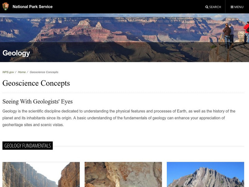
National Park Service: North Cascades National Park Geology
Resource explores the history and geology of the Cascade Mountains. Content includes a geologic story, virtual field trip, a look at plate tectonics and the rocks & minerals found in the Cascade Mountains, geologic maps, and more.


