Curated OER
Animal Farm: The Complete Project
High schoolers choose chapters from "Animal Farm" to complete a project on. They make connections between the characters and gather any outside information needed. They present their information to the class.
PBS
Pbs: The Story of India: Map of India
PBS explores India through a detailed map of India and its surrounding countries. Provides details on the location of the country. Identifies important waterways, regions within country, major cities, and mountain ranges.
Curated OER
University of Texas: Afghanistan: Topography
A 1986 topographical map of Afghanistan from the Perry-Castaneda Collection. You can clearly see the mountain ranges, valleys, and passes that make up this mountainous country.
University of Arizona
Ua: Southeastern Arizona Mount. Ranges & Natural Habitat
Provides maps and descriptions of mountain ranges located in Arizona. Each range is linked to a series of full color pictures.
Curated OER
Educational Technology Clearinghouse: Maps Etc: Mountain Ranges of Asia, 1885
An orographic map of Asia from 1885 showing the major mountain systems, plateaus, and plains, rivers, lakes, and coastal features of the region. This map is color-coded to show general elevations, with green representing lowlands and...
Curated OER
University of Texas: Iran: Regional Physiography
A great map showing the physical features of Iran. See how it is bordered by mountains. From the Perry-Castaneda Collection.
Utah Education Network
Uen: Utah History Encyclopedia: Physical Geography of Utah
This resource provides information on the physical geography of the state.
Japanese Ministry of Foreign Affairs
Web Japan: Japan Atlas
Learn about Japan's historic sites, natural beauty, culture and contemporary society. Search by topic or by region in Japan. You can watch slide shows about major Japanese cities or take virtual tours of historic sites like the Shurijo...
Curated OER
Etc: Maps Etc: Physical Map of South America, 1898
A map from 1898 of South America showing the general physical features including mountain systems, prominent peaks and volcanoes, river and lake systems, plateaus, and coastal features. The map includes an insert of the Isthmus of...
Curated OER
Educational Technology Clearinghouse: Maps Etc: Relief Map of Africa, 1890
A relief map from 1890 of Africa showing the major mountain, desert, river, and lake systems on the continent. "The whole continent is a moderately-elevated plateau surrounded of all sides by marginal mountains which either slope...
Curated OER
Educational Technology Clearinghouse: Maps Etc: Physical Map of Europe, 1916
A physical map of Europe from 1916 showing color-coded elevations and water depths for the area extending from Iceland to the natural boundary between Europe and Asia (Ural Mountains to the Caspian Sea), and the Arctic Circle to the...
Latimer Clarke Corporation
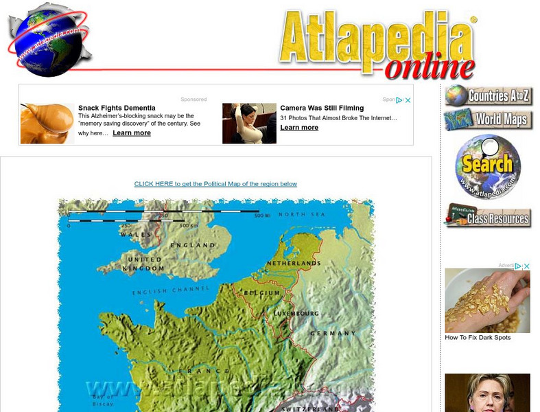
Physical Map of France
Map of France showing mountain ranges, rivers, and coastlines.
Lonely Planet
Lonely Planet: France
This Lonely Planet map of France shows the rivers and mountain ranges as well as major cities. Clicking on a site labeled in color brings the reader to information about that site. Includes Corsica.
Geographyiq
Geography Iq
Detailed geographical information on any country is available at this site. Within the World Map section, you can get facts and figures about each country's geography, demographics, government, political system, flags, historical and...
Wikimedia
Wikipedia: Pacific Ring of Fire
Wikipedia offers information on the location of the Pacific Ring of Fire, an area of frequent earthquakes and volcanic eruptions. Map included.
Curated OER
Etc: Maps Etc: Physical Map of South America, 1916
A map from 1916 of South America showing the general physical features including mountain systems, prominent peaks and volcanoes, river and lake systems, plateaus, and coastal features. The map is color-contoured with land elevations...
Curated OER
Etc: Maps Etc: Physical Map of South America, 1910
A physical map from 1910 of South America showing color-contoured land elevations and water depths. Elevations range from sea level to over 6,500 feet, and water depths range from sea level to below 13,000 feet. This map shows the...
Other
Himalayas: Travel Guide
Detailed and thorough information about the Himalaya Mountains. Learn all about this mighty mountain chain and its diverse environment.
Curated OER
Etc: Maps Etc: Orographic Chart of North America, 1891
An orographic map from 1891 of North America showing the principal mountain systems, rivers, and terrain features of the region. The map is coded to show high lands and mountain regions, and shaded regions of plains, with dark lines...
Curated OER
Etc: Maps Etc: Mexico, Central America, and the West Indies, 1898
A map from 1898 of Mexico, Central America and the West Indies. The map includes an inset map of Cuba and the Isthmus of Nicaragua. "The surface of the Rocky Mountain highland in Mexico is quite similar to that of the great plateau...
Curated OER
Educational Technology Clearinghouse: Maps Etc: Physical Europe, 1916
A physical map of Europe from 1916 showing color-coded elevations and water depths for the area extending from Iceland to the Ural Mountains in Russia Proper, and the Arctic Circle to the Mediterranean Sea. Land elevation colors range...
Curated OER
Educational Technology Clearinghouse: Maps Etc: Orographic Chart of Asia, 1891
A base map from 1891 showing the mountain systems of Asia. The map shows highlands in white, lowlands as shaded, and shows major mountain ranges with heavy black lines. Major rivers are shown. The map is keyed to show the Himalaya...
Curated OER
Educational Technology Clearinghouse: Maps Etc: The United States, 1890
A map from 1890 of the United States showing physical features, and annual mean temperatures and rainfall. The map shows high mountains and lower ranges, watershed division boundaries, rivers, lakes, coastal features, and is color-coded...
Curated OER
Educational Technology Clearinghouse: Maps Etc: Lewis Mountains, 1911
A contour map of part of the Lewis Mountains of western Montana, representing typical glacial features of the range.


