Franco Cavazzi
Illustrated History of the Roman Empire: Home Page
This overview of the Roman Empire is organized by chapters, which include The Founding, The Kings, The Republic, Early Emperors, The Decline, The Collapse, Constantinople, Religion, Society, and The Army. Content includes several maps,...
Franco Cavazzi
Roman empire.net: Roman Empire Map
This site from Roman-Empire.net provides an interactive map of the Roman Empire. The expanse of the empire can be viewed by dates. The site can be searched by Provinces, Territories, Tribes, Towns, Cities, or Barbarian Incursions.
University of Calgary
U. Of Calgary: Territorial Expansion of the Roman World
Provides detailed description of the expansion of territory during the Early and Late Roman Republic and then Early and Late Roman Empire. Includes a variety of links to maps displaying the Roman conquests.
Franco Cavazzi
Roman Empire: The Roman House
This site from The Roman Empire has a map of a Roman house with an explanation of each room. The uses of each room are explained and labeled.
Stanford University
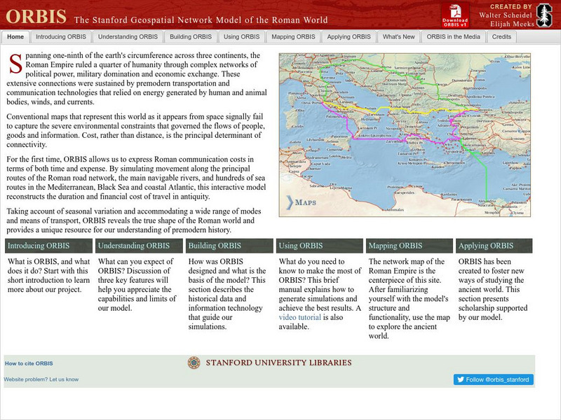
Stanford University: Orbis: Stanford Geospatial Network Model of the Roman World
ORBIS is an incredibly complex, and fascinating, geospatial compilation of 751 Roman sites over an area close to 4 million square miles. The model attempts to shed insight into how the Roman Empire functioned as a whole, and how it was...
The Newberry Library
Shakespeare's Romans: Politics and Ethics in Julius Caesar and Coriolanus
Informative learning excercise using Shakespeare's Roman plays to analyze the impact of Classical Roman history on the people of Renaissance England.
PBS
Pbs: The Roman Empire of the 1st Century: Mapping an Empire
In this lesson, students will compare a map of the Roman Empire in 44 BC with one of the Roman Empire in 116 AD. Using these two maps as a reference, students will use critical reading skills to learn about the expansion of the Roman...
Franco Cavazzi
Roman empire.net: Roman Italy Map
This site from Roman-Empire.net is an interactive map of Roman Italy. Areas, Regions, Tribes, Towns, Cities, Rivers, Lakes, and Mountains can be searched for with pull-down menus.
A&E Television
History.com: How Far Did Ancient Rome Spread?
Legend has it that Romulus and Remus -- twin brothers who were also demi-gods -- founded Rome on the River Tiber in 753 B.C. Over the next eight and a half centuries, it grew from a small town of pig farmers into a vast empire that...
University of Oregon
Mapping History: European History
Interactive and animated maps and timelines of historical events and time periods in European history from Greek and Phoenician colonization up to the 20th century.
United Nations
Unesco: Early Christian Monuments of Ravenna
This World Heritage website features Ravenna in Italy, which was the center of the Roman Empire at one point, and later of the Byzantine Empire in Italy. Presented on this website are eight Christian buildings, and their mosaics, from...
University of Calgary
University of Calgary: The End of Europe's Middle Ages
This useful tutorial includes information about the economy, feudalism, the Holy Roman Empire and other important topics pertaining to Europe in the fourteenth and fifteenth centuries, a time of transition in European history. Easy to...
Franco Cavazzi
The Roman Empire: Ancient Rome, Temple of Jupiter
This aerial map of Ancient Rome gives an overall picture of the city's buildings and structures. The Temple of Jupiter is colored red so the viewer can see where it is located in relation to other structures. But the map lacks labels and...
Friesian School
Fresian School: Animated History of Rome and Romania
This animated graphic, which is provided by the Fresian School, allows you to see how Rome grew and shrank between 300 BC and 1453 AD. The map changes in increments of about 50 years.
Curated OER
Educational Technology Clearinghouse: Maps Etc: Roman Britain, 55 Bc to Ad 449
A map of England (Britannia) under the Roman Empire, from the time of the first invasion by Julius Caesar (55 BC) extending to the invasion of the Saxons (AD 449). The Roman Period of control of Britannia is generally considered AD 43 to...
Other
Visulistan: Mapping the Empires of History #Infographic
This infographic maps the empires of history including the British Empire, the Mongol Empire, the Russian Empire, the Spanish Empire, the Umayyad Caliphate, the Portuguese Empire, the Achaemenid Empire (First Persian Empire), the Ottoman...
PBS
Pbs: Recovering the Material World of the Early Christians
A scholarly article in which the author discusses the recent archaeological discoveries that have allowed us to construct a picture of the world of the early Christians. These findings include ancient manuscripts, ancient inscriptions...
Curated OER
Etc: Maps Etc: The Roman Empire Under Augustus, 27 Bc to Ad 14
A map of the extent of the Roman Empire under Augustus (63 BC to AD 14). The map is color-coded to show the territories, and uses Latin place names such as Mare Internum (Mediterranean Sea), Pontus Euxinus (Black Sea), and Danubius Fl....
United Nations
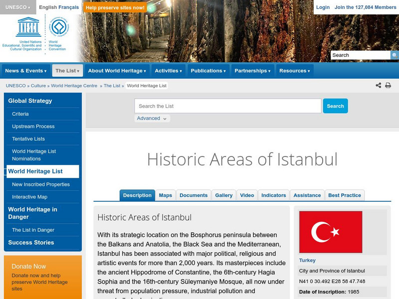
Unesco: Historic Areas of Istanbul
This World Heritage website looks at historic Istanbul, located in Turkey. Found here are a description, maps, documentation, photos, videos, any indicators of threats to its integrity, and information about funding assistance for its...
PBS
Pbs: Chronology of Early Christianity
A detailed timeline on the early history of the religion from the time of Julius Caesar (44 B.C.E.) to 327 C.E. and the death of Constantine.
Other
Lectures in Medieval History: The Reign of Justinian, 527 565
Read a brief overview of the reign of Justinian I, his decisions about reuniting the Roman Empire, and the beginning of the Byzantium Empire. Two maps show the Mediterranean world in 565 and 600.
Other
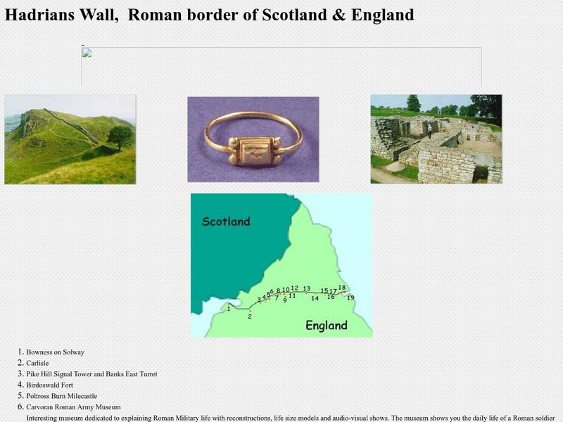
Hadrian's Wall, Details Along the Wall
This is a collection of pictures taken along Hadrian's Wall. It also includes a map showing exactly where the wall is in relation to present-day Britain and Scotland, with an explanation of each item along the wall.
World History Encyclopedia
World History Encyclopedia: Alemanni
Encyclopedia entry on Alemanni, a confederacy of Germanic-speaking peoples who occupied modern day Germany. Site has maps, links to further material and timeline of events.


