Hi, what do you want to do?
Curated OER
Etc: Settlements of the Saxons and Angles, Ad 449 626
A map of Scotland, England and Wales showing the settlements of the Saxons and Angles from the landing of Hengist and Horsa at Ebbsfleet on the shores of the Isle of Thanet (AD 449) to the Saxon Heptarchy (AD 626). "By these invasions...
Rock and Roll Hall of Fame
Rock & Roll Hall of Fame: Sti Lesson 30: The Reagan Bush Years
The Republican era of Ronald Reagan and George Bush had to deal with difficult foreign affair events. Reagan dealt with terrorism, including hostage taking and gundowns, particularly from Libya. Bush dealt with aggression on the part of...
Other
The War Times Journal: The Egyptian Expeditionary Force
A collection of military dispatches and maps related to the British attempt to defeat the Ottomans during World War 1. Includes dispatches from the British commander, General Allenby.
Encyclopedia of Earth
Encyclopedia of Earth: Jordan
The Encyclopedia of Earth provides an overview of Jordan, including its geography, natural resources, history, government, economy, and much more. Maps and images are also included, along with sources used to create the entry.
Curated OER
Educational Technology Clearinghouse: Maps Etc: Middle Colonies, 1620 1702
A map of the New Jersey Colony between the establishment of the Dutch settlement at Bergen (1620) and the unification of East and West Jersey in 1702. The map shows the 'North River’ (Hudson River) and 'South River’ (Delaware River), the...
World Atlas
World Atlas: Syrian Arab Republic
Features a description and history of the Syrian Arab Republic with links to information on its geography, symbols, flags, and more.
World Atlas
World Atlas: Israel
Features an overview of the history of Israel from 750 BC to modern times. By clicking on any tab above the maps you can learn about topics such as flags, geography, travel, and more.
Enchanted Learning
Enchanted Learning: Geography
At this site from Enchanted Learning, you can take a quiz, printout a map of the United States of America, and see where the Middle East is located in the world. Links are also provided for additional information.
Central Intelligence Agency
Cia: World Factbook: Israel
This resource from the CIA World Factbook provides a detailed fact sheet of Israel. The content covers the country's geography, people, government, economy, communications, transportation, military, and transnational issues. It includes...
Curated OER
Bbc: Map of Jordan
This map of Jordan shows where it is located in the Middle East as well as the location of its capital, Amman.
Nations Online Project
Nations Online: Israel
A great destination guide that takes you on a virtual trip to the Middle Eastern state of Israel. Find general information on its culture, people, environment, geography, economy, and government. There are numerous links available that...
Other
Wbur: This Year in Jerusalem
This Web site allows you to listen to radio broadcasts of various documentaries about the conflict in Jerusalem. Photographs, maps, articles, and news are also available detailing the history of the Holy City.
Nations Online Project
Nations Online: Oman
Features a country profile of the Arab nation of Oman, background details, and numerous links to comprehensive information on the nation's culture, history, geography, economy, environment, population, news, government, and much more.
BBC
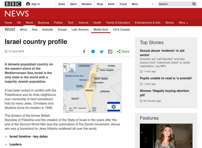
Bbc: News: Country Profile: Israel and Palestinian Territories
The BBC provides a general overview of the country of Israel and Palestinian Territories. Content includes a focus on Israeli and Palestinian recent history, leaders and media. There are also video and audio clips of recent events.
Other
Aina: A Brief History of Assyrians: Geography
This is a brief article describing the geography of Assyria and its extent across the Middle East. Click on the word Assyria to take you to a map the region.
Curated OER
Etc: Maps Etc: Sketch Map of Mid Century Africa, Circa 1850
A map of Africa around the middle of the nineteenth century showing European interests on the continent prior to the Berlin Conference of 1885, which established their territorial claims. The majority of the continent was unexplored at...
Curated OER
Etc: Original Range of the Bison, 1720 1903
A map of North America showing the original range of the American bison. The map shows the dates of local extermination, location, and numbers of wild animals in 1903 (Central Canada and the Rockies). "Beyond all doubt the most...
Other
Saudi Aramco World: Keyboard Calligraphy
In a recent exhibition on Ottoman culture held in Amsterdam's Nieuwe Kerk was an unimpressive-looking little 18th-century book, a printed version of a manuscript produced 150 years earlier. Usually a manuscript is more rare than a...
Other
One Party States: 1945 1995: A Map and Graph
A map and table showing the countries that are controlled by one political party and the duration of their control. Map covers period from 1945 to 1995.
Curated OER
Educational Technology Clearinghouse: Maps Etc: South China, 1971
"South China comprises the drainage basins of the middle and lower Yangtze River, the basin of the His Chiang (West River) in Kwangtung and Kwangsi; and the mountainous coastal provinces of Fukien and Chekiang. The division between the...
Curated OER
Suleiman the Magnificent; Credit:
A six-part series from NPR provides an easy-to-understand history of the relations between the Middle East and the Western world. Beginning with the Crusades, the series takes us through the rise of the Ottoman Empire, European...
Curated OER
Bbc: Yemen Map
This map of Yemen shows where the country is located in the Middle East as well as the location of its capital, Sanaa.
Curated OER
Educational Technology Clearinghouse: Maps Etc: Saxon England, Ad 900
A map of Saxon England in the Middle Ages at the time of Alfred the Great (AD 900) showing the Anglo-Saxon kingdoms of Northumbria, Strathclyde, Mercia, North Wales, East Anglia, Essex, West Wales, Wessex, and Kent. Important cities of...
BBC
Bbc: News: Country Profile: Jordan
The BBC provides a general overview of the country of Jordan. Content includes a focus on Jordan's recent history, leaders and media, a Jordanian timeline of key events, and much more.


