Other
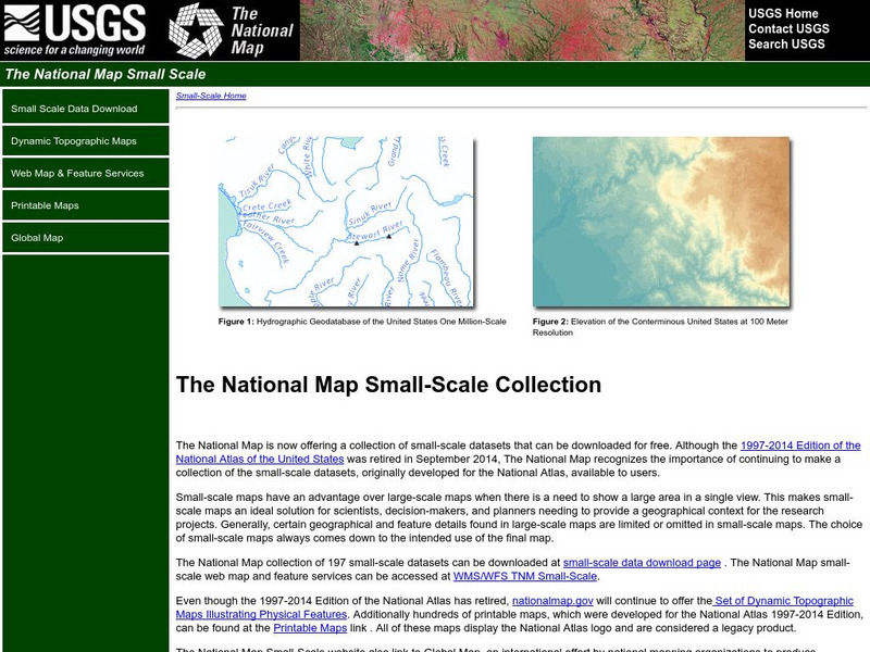
National Atlas of the United States
The National Atlas of the United States provides comprehensive information collected by the Federal Government and delivered through interactive maps. Select from a variety of scientific, societal, and historical information to be...
University of Nebraska
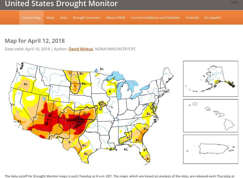
United States Drought Monitor
This interactive map of the United States provides an extensive overview of drought conditions. You can watch animations of drought patterns over different time intervals.
Library of Congress
Loc: Mapping the National Parks
A rich and historically significant collection of maps of various national parks throughout the United States. Features special sections on Yellowstone, Acadia, the Grand Canyon and the Smoky Mountains. Includes historical photographs of...
National Geographic
National Geographic: Mapping u.s. Watersheds
Students will identify and explore major rivers and watersheds in the United States.
Other
National Atlas of the United States
This National Atlas of the United States site gives maps and atlases online.
US Geological Survey
Usgs: u.s. Atlantic Continental Margin Gloria Mapping Program
This site from the U.S. Geological Survey allows you to access detailed images of the continental margin around the United States. There is additional information about the sonar methods used, and a wealth of additional sources listed.
Virginia History Series
Virginia History Series: Virginia State History Reconstruction to 1900 [Pdf]
Much of Virginia was devastated after the Civil War so a period of rebuilding commenced. Follow Reconstruction through the different plans, the effects on African-Americans and the South. This slideshow has pictures,charts, and maps to...
The Dirksen Congressional Center
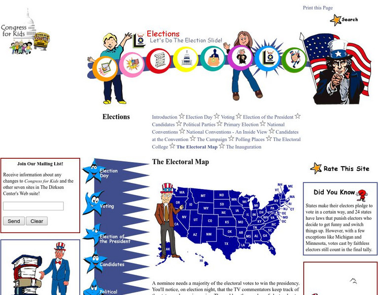
Congress for Kids: Elections: The Electoral Map
Find out how the United States Electoral College map is determined every ten years by the official Census.
Other
National Atlas
This site is excellent for mapping. You can create ANY kind of map you need. Select all kinds of layers: agriculture, biology, boundaries, climate, history, and more, and then select the geography. It does take some time to figure out...
Other
Usgs: Geology in the Parks
Details regarding the geology of national parks in the United States.
HotChalk
Hot Chalk: Lesson Plans Page: Edible Geography
Lesson that helps students understand geography of states by creating an edible map of the state, using real food to indicate parts of the state.
Alabama Learning Exchange
Alex: Plan the Adventure of a Lifetime With Lewis and Clark
This plan is the first lesson plan in my unit on Lewis and Clark. This is a project-based, hands-on unit in which students "become" part of the Corps of Discovery - the members traveling in the Lewis and Clark Expedition. In this lesson...
US Holocaust Memorial Museum
U.s. Holocaust Memorial Museum: Nazi Camps
Extensive site created by the US Holocaust Memorial Museum to explain the people involved with the Nazi concentration/death camps. Learn about who was targeted, and how those who led the camps were ultimately punished. Site provides...
US Holocaust Memorial Museum
U.s. Holocaust Memorial Museum: Auschwitz
On this comprehensive website is the history of Auschwitz. You can click on maps, photographs, personal histories, and film footage.
National Geographic
National Geographic: Introduction to Latitude and Longitude
In this lesson, students learn to determine the latitude and longitude of locations within the United States, while making observations about climate and the ways in which these measurements can be useful. Includes maps and discussion...
Other
Uintah Basin Tah Project: Dominguez and Escalante Expedition 1776
The Dominguez-Escalante Expedition of 1776 was tasked with finding a route overland from Santa Fe, New Mexico to a Spanish mission in northern California. This page provides biographies of the people on this journey as well as the maps...
PBS
Pbs Learning Media: Library of Congress: Media Gallery | Women's Suffrage
This collection of primary source documents from the Library of Congress supports teaching about women's suffrage in the United States. These primary sources include images, song sheets, articles, statistical documents, maps, political...
Geographypods
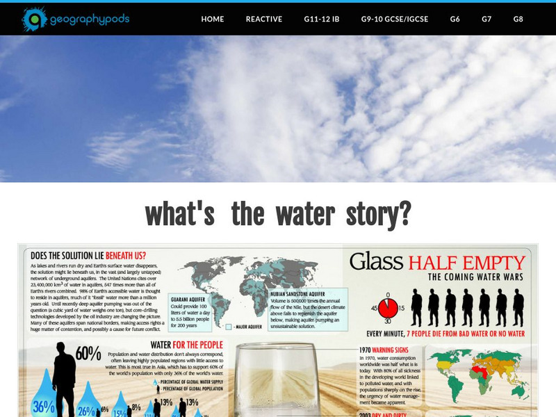
Geographypods:freshwater: Issues and Conflicts: Competing Demands for Freshwater
This learning module examines conflicting demands for fresh water around the world. It looks at the water resources that are available, water scarcity, and local and international conflicts over water. Specific cases are explored,...
National Geographic
National Geographic: Marine Protected Areas Exploration
In this high school instructional activity, students explore Marine Protected Areas on an interactive map and compare and contrast three case studies. They learn how the MPA classification system works in the United States, apply that...
Annenberg Foundation
Annenberg Learner: A Biography of America: A New System of Government 1776 1826
This module examines America's efforts to form a new government after the War for Independence and to draft the Constitution. Includes an interactive activity comparing Thomas Jefferson's and Alexander Hamilton's visions for America, a...
American-Israeli Cooperative Enterprise
Jewish Virtual Library: The Partition Plan
The background for creating a plan to partition Palestine, as well as the details of the plan itself and its effects are discussed.
Independence Hall Association
U.s. History: Independence Hall
Brief history of the "birthplace of the United States", with construction details, and a location map.
Alabama Learning Exchange
Alex: Dream Vacation
This unit teaches young scholars to plan a trip with an itinerary, remain within a budget, and work cooperatively. It is a technology-based project that combines a study of mathematics, economics, geography, and social studies.
iCivics
I Civics: Thomas Jefferson Mini Lesson
Thomas Jefferson was the third president of the United States, but he played many political roles throughout our nation's history. His political life influenced the country in many ways, from the founding documents to the shape of our...
Other popular searches
- United States Maps
- United States Maps Regions
- Northeast United States Maps
- 50 United States Maps
- Create United States Maps
- Western United States Maps
- Custom United States Maps
- Outline Maps United States
- Blank United States Maps
- United States Landforms Maps
- United States Geography Maps
- United States Political Maps




![Virginia History Series: Virginia State History Reconstruction to 1900 [Pdf] PPT Virginia History Series: Virginia State History Reconstruction to 1900 [Pdf] PPT](https://d15y2dacu3jp90.cloudfront.net/images/attachment_defaults/resource/large/FPO-knovation.png)
