Hi, what do you want to do?
Pew Research Center
Pew Social and Demographic Trends: Migration Flows in the United States
The Pew Hispanic Research Center details the migration flows of the United States. Breaks down U.S. migration patterns from the last 20 years. Scroll mouse over map to see the regional migration throughout the years. View a map which...
University of Nebraska
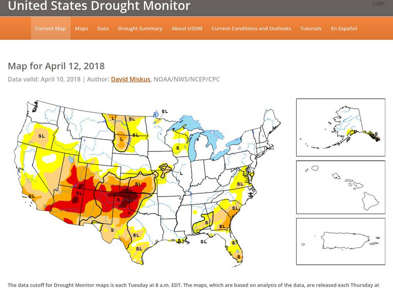
United States Drought Monitor
This interactive map of the United States provides an extensive overview of drought conditions. You can watch animations of drought patterns over different time intervals.
Other
The Story of the Us Told in 141 Maps
This collection of United States maps includes a year-by-year. Beginning from the Declaration of Independence and extending to present-day, students will learn explore and interact with these maps that change year-by-year.
Digital Public Library of America
Dpla: Secession of the Southern States
This primary source set uses documents, illustrations, and maps to explore events and ideas that drove the formation of the Confederate States of America and the United States' descent into civil war. Includes a teacher's guide.
Library of Congress
World Digital Library: United States History: Timeline
A collection of primary source materials presented on a timeline that showcase events in the history of the United States from 1625 on. Click on an image to go to a page with descriptive information about each item. Each description has...
Other
Topo Zone: Free Usgs Topo Maps for the Entire United States
A huge collection of topographic maps for each of the US states. Scroll down to see a map of the United States and click on the state you are interested in. From there, you can search for a particular location, choose a featured map, or...
Other
National Atlas of the United States
This National Atlas of the United States site gives maps and atlases online.
US Department of Energy
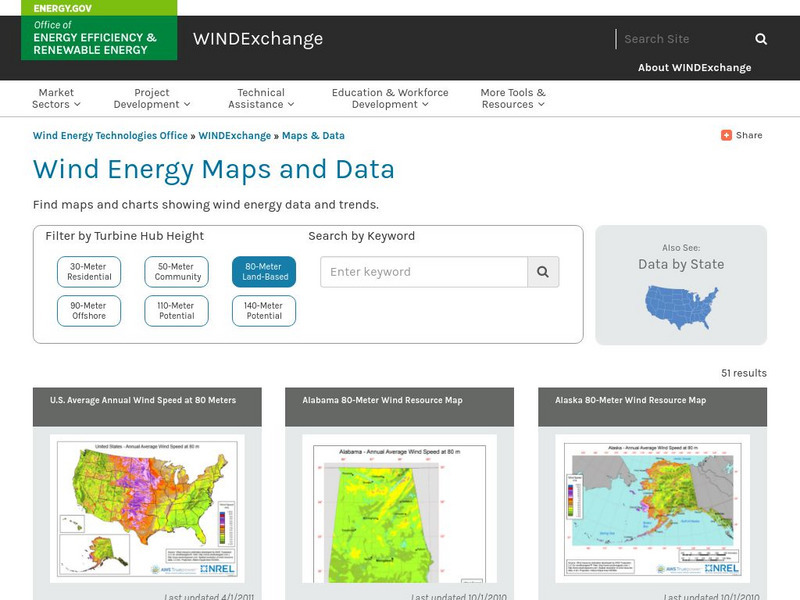
U.s. Department of Energy: Wind Program: Wind Powering America: Maps
An interactive map of the United States that gives information about each state's wind power potential.
Library of Congress
Loc: Mapping the National Parks
A rich and historically significant collection of maps of various national parks throughout the United States. Features special sections on Yellowstone, Acadia, the Grand Canyon and the Smoky Mountains. Includes historical photographs of...
National Geographic
National Geographic: The Underground Railroad Route
A classroom activity enhancing study about slavery in the United States focused on the Underground Railroad. Students will explore the slave and free states and look at routes the Underground Railroad took to help slaves escape to...
National Geographic
National Geographic: Mapping u.s. Watersheds
Students will identify and explore major rivers and watersheds in the United States.
University of Georgia
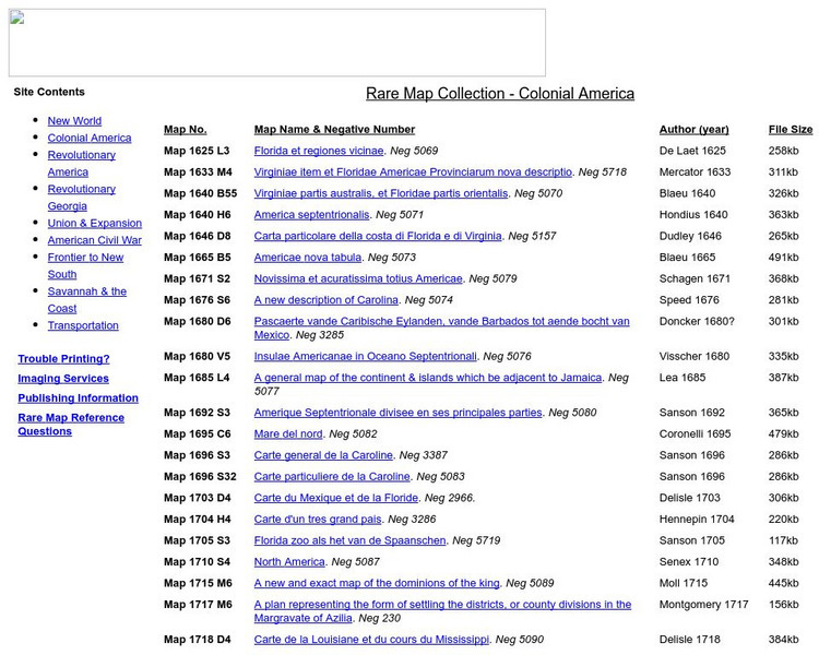
University of Georgia: Rare Map Collection: Colonial America
An extensive collection of original maps drawn during the colonial period of United States history.
US Geological Survey
Usgs: u.s. Atlantic Continental Margin Gloria Mapping Program
This site from the U.S. Geological Survey allows you to access detailed images of the continental margin around the United States. There is additional information about the sonar methods used, and a wealth of additional sources listed.
Other
Usgs: Geology in the Parks
Details regarding the geology of national parks in the United States.
Annenberg Foundation
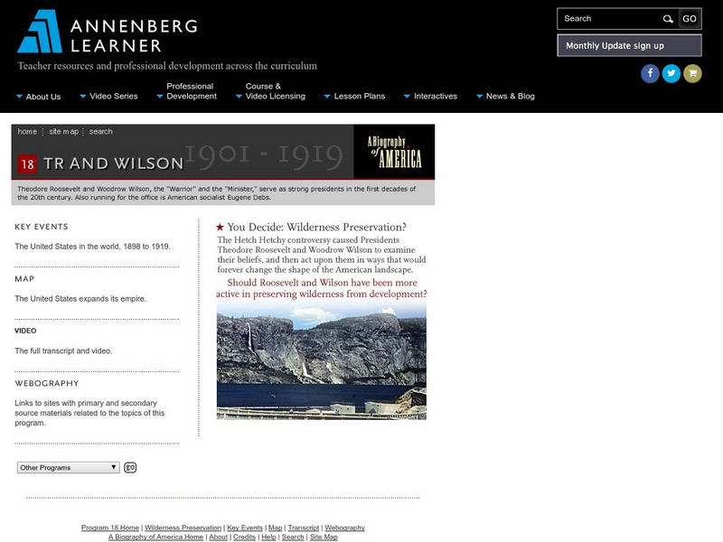
Annenberg Learner: A Biography of America: Theodore Roosevelt and Woodrow Wilson
Consider the perspectives of Theodore Roosevelt and Woodrow Wilson and why they made decisions that they did with respect to the American wilderness. The issue is whether the Hetch Hetchy dam should be built to supply water to San...
American-Israeli Cooperative Enterprise
Jewish Virtual Library: The Partition Plan
The background for creating a plan to partition Palestine, as well as the details of the plan itself and its effects are discussed.
US National Archives
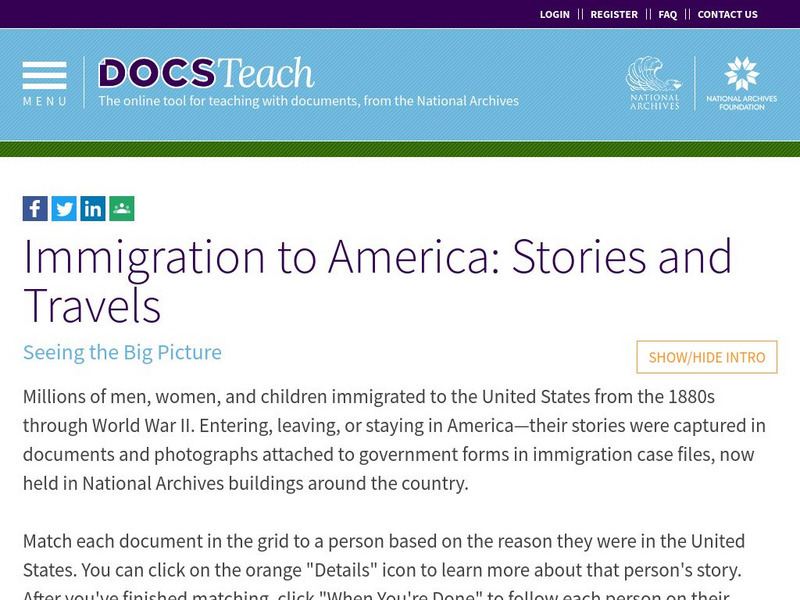
Docsteach: Immigration to America: Stories and Travels
This activity asks learners to match documents to individuals based on the reasons these people came to and were living in the United States. The photographs and documents are attached to government forms in some of the millions of...
Virginia History Series
Virgina History Series: Virginia State History Post Wwii to Present Day [Pdf]
Visualize the major events in the last half of the 20th century such as major wars and civil rights issues through the lens of the state of Virginia. In addition, learn about the pop culture of this time specifically in Virginia. Enjoy...
HotChalk
Hot Chalk: Lesson Plans Page: Edible Geography
Lesson that helps students understand geography of states by creating an edible map of the state, using real food to indicate parts of the state.
Virginia History Series
Virginia History Series: Virginia State History 20th Century (1921 1940) [Pdf]
The Roaring Twenties was a time of great prosperity in America and Virginia. However, it ended with a bust that shook our country to its core. Imagine the culture of this time with the help of pictures, charts, and maps. This slideshow...
PBS
Pbs Learning Media: The Lowdown: Life Expectancy: Finding Ratio Relationships
In this interactive map, learn how life expectancy, obesity, hypertension, and physical activity rates have changed dramatically throughout the United States over the last three decades. The accompanying classroom activity supports...
NOAA
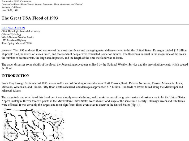
Noaa: The Great Usa Flood of 1993
Interesting abstract about the flood that hit the Midwest in 1993, one of the worst floods in United States History. Find out why the flood occurred, the damage, maps of the damage, charts, graphs, and statistics.
Science Struck
Science Struck: List of Latin American Countries With Their Capitals
Presents a map and list of all the Latin American countries, along with their capitals, population, land area, and names of the largest cities. (Note: Puerto Rico is a territory of the United States, not a country on its own.)
iCivics
I Civics: Thomas Jefferson Mini Lesson
Thomas Jefferson was the third president of the United States, but he played many political roles throughout our nation's history. His political life influenced the country in many ways, from the founding documents to the shape of our...


