Curated OER
Why Vote? A Public Awareness Campaign
Students examine the structure of local government and determine why citizens vote. In this civics lesson, students listen to a lecture about the structure of local government and then encourage others to exercise their right to vote.
Curated OER
The Original 13 Colonies and 3 Regions
Seventh graders review the content of American History and focus upon the original thirteen colonies. They also study the geography of the region. It is recommended that students have other lessons delivered on the topic prior to this one.
Tennessee State Museum
Deciphering the Document: Unlocking the Meaning of the Emancipation Proclamation
Help your learners truly understand the Emancipation Proclamation by asking them the put it into their own words. After reading the document out loud to the class, and briefly discussing the legal language, split your class into small...
Curated OER
Finding Your Spot in the World
Learners investigate a world map, a United States map, a state map, a county map and a city map. They locate each student's house on the city map and put a length of yarn from their house to a country of one of their ancestors.
Curated OER
ADULT ESOL LESSON PLAN--Environment and the World
Students locate and trace Florida on a United States map as well as their local counties and city of residence on a state map. In addition, they label all the directions north, south, east and west on each map.
Curated OER
Transportation's affect on the Growth of Cities in the United States
Eighth graders identify the major advancements that have been made in transportation throughout U.S. history (waterways, horses, steam power, railroads, automobiles, etc.) They access websites imbedded in this plan and answer questions...
Curated OER
The Impact of AIDS in Africa and its Effect on the United States
Eleventh graders explain the social devastation visited on seven nations of sub-Saharan Africa by the AIDS pandemic, with particular emphasis on the damage to educational systems, women, and Students.
Curated OER
Traveling Through Literature
Integrate geography with literature in this interdisciplinary instructional activity. Begin by reading a poem such as The Time We Climbed Snake Mountain by Leslie Marmon Silko. On a large map, place push pins in the cities or states...
Curated OER
Geography: How do Louisiana Rice Farmers Help the Environment after they Harvest Rice?
Third graders study maps of the United States locating Louisiana, the East Coastal Plain, the Mississippi Alluvial Plain, the West Gulf Coastal Plain, and five of the main rivers. In this geography lesson, 3rd graders create a...
Curated OER
Reshaping the Nation
Students learn why the census makes a difference. In this U.S. Census lesson plan, students learn how to read and use a cartogram while they explore new ways to represent data.
Curated OER
Alexis de Tocqueville’s America
Students analyze de Tocqueville's America. In this democratic history lesson, students use primary sources to determine what de Tocqueville found to be so unique in the America. Students analyze artifacts, maps and documents through...
Curated OER
A Question, Mr. Lincoln!
Students discuss Abraham Lincoln. In this social science lesson, students describe key events in Lincoln's life. Students practice using interviewing skills to gather information pretending to be Lincoln.
Curated OER
The Greatest Educational Change America has Ever Seen
Students examine the history of the penny. For this Lincoln Bicentennial One Cent teachers guide, students connect the life of President Abraham Lincoln to the 1-cent coin in his honor through a variety of lessons and...
Curated OER
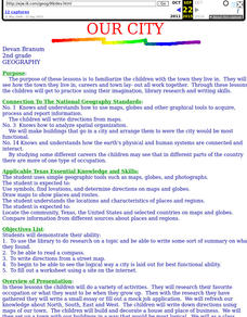
Our City
Second graders familiarize themselves with the town they live in by practicing their imagination, library research and writing skills.
Curated OER
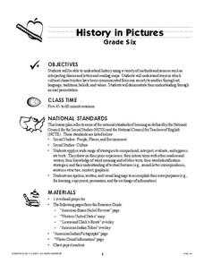
History In Pictures
Sixth graders explore Lewis and Clark's expeditions. For this Lewis and Clark lesson, 6th graders view the routes they took and discuss how the territory has changed. Students make a timeline of their journey. Students research online...
Curated OER
Follow the Leader
Students examine the roles of national leaders and the three branches of government and their duties. They view and discuss the images on the South Dakota Quarter Reverse transparency, complete a worksheet, and create a mobile of the...
Curated OER
The American Mosaic
Eighth graders role play as a poor immigrant family moving from the Old World to the New World in search of the American Dream. They create a portfolio and journal of their travels.
Curated OER
NATO Geography & Language
The class receives background information on NATO, an atlas, and a blank world map. They color the original 1949 countries in red, the 1952 additions in green, and the 1990 additions in blue. This exercise would be a good starting point...
Curated OER
Survey of the Louisiana Purchase in 1815
Students explore the survey of the Louisiana Purchase by creating their own surveying and mapping techniques such as natural maps, pace maps, and orienting. Other students then try to follow the maps.
Curated OER
Let's Play Geography Twister
Pupils practice geography skills by playing a game based on Twister. Students manipulate their position on a map by placing their arms and legs on the appropriate state or country called out by the teacher.
Curated OER
Geography and Artifacts of Mexico
Students review the structure of government in Mexico and discuss how it is different than the United States. Using artifacts, they must label and identify the city or state in which the artifact originated. They use the artifact clues...
Curated OER
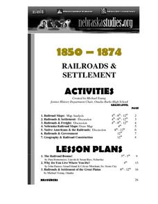
The Railroads and Settlement of the Great Plains
Enhance your American literature unit with this resource, in which readers access the Nebraska Studies website and read about "Railroads and Settlement." They search for a photograph of some aspect of the railroad from the Prairie...
Curated OER
The Meat-Packing Industry in Chicago During the Progressive Era
Young scholars examine maps showing the hog and corn distribution of the United States. In groups, they research the reasons why Chicago became the natural hub for meat-packing processing in the United States. They examine changes in...
Curated OER
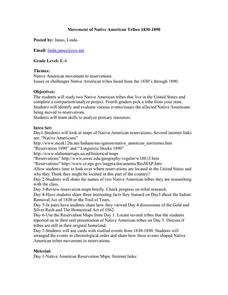
Movement of Native American Tribes 1830-1890
Students examine the movement of Native American tribes during the mid 1800's. For this American History lesson, students study two Native American tribes that live in the United States and complete a comparison/analyze project. Students...
Other popular searches
- United States Maps
- United States Maps Regions
- Northeast United States Maps
- 50 United States Maps
- Create United States Maps
- Western United States Maps
- Custom United States Maps
- Outline Maps United States
- Blank United States Maps
- United States Landforms Maps
- United States Geography Maps
- United States Political Maps


