Hi, what do you want to do?
Curated OER
Educational Technology Clearinghouse: Maps Etc: Yosemite Valley, 1911
A contour map from 1911 of a typical portion of Yosemite Valley, showing cliffed margins, waterfalls, flat floor, and meandering stream.
Curated OER
Educational Technology Clearinghouse: Maps Etc: Cabinet Mountains, 1911
A contour map from 1911 of the southern end of the Cabinet Mountains, Idaho, near Baldwin Ferry and Lake Pend Oreille.
Curated OER
Educational Technology Clearinghouse: Maps Etc: Swampy Divides in Maryland, 1911
A contour map of eastern Maryland showing the landform features of the swampy divides between the Chesapeake and the Atlantic. The coastal plain is here so young and so little dissected that many of the original irregularities have not...
Curated OER
Educational Technology Clearinghouse: Maps Etc: Lewis Mountains, 1911
A contour map of part of the Lewis Mountains of western Montana, representing typical glacial features of the range.
Curated OER
Educational Technology Clearinghouse: Maps Etc: Adirondack Mountains, 1911
A contour map of the Adirondack Mountains of New York showing the plateau-like western portions of the Adirondack Mountains, a contrast to the mountainous eastern portion. .
Curated OER
Etc: Maps Etc: Drainage Lines of the Eastern Adirondacks, 1911
A contour map from the vicinity of Elizabethtown showing the rectangular pattern of relief and drainage lines in fault-block mountains of the eastern Adirondacks.
Curated OER
Educational Technology Clearinghouse: Maps Etc: Callaban Divide, 1911
A contour map from 1911 showing the summits of the Callaban Divide on the Great Plains of Texas.
Curated OER
Etc: Maps Etc: Section of the Virginia Coast, 1916
A contour map of a section of the Virginia coast, showing land made rough by the work of streams.
Curated OER
Educational Technology Clearinghouse: Maps Etc: Encampment District, 1911
A contour map showing the mature profiles, long gentle spurs, and rounded summits of the mountains of the Encampment district, south-central Wyoming.
Curated OER
Etc: Maps Etc: Drainage Irregularities in the Lake Superior Highlands, 1911
A contour map from 1911 showing the typical drainage irregularities in the glaciated physiographic province of the Lake Superior Highlands.
Science Education Resource Center at Carleton College
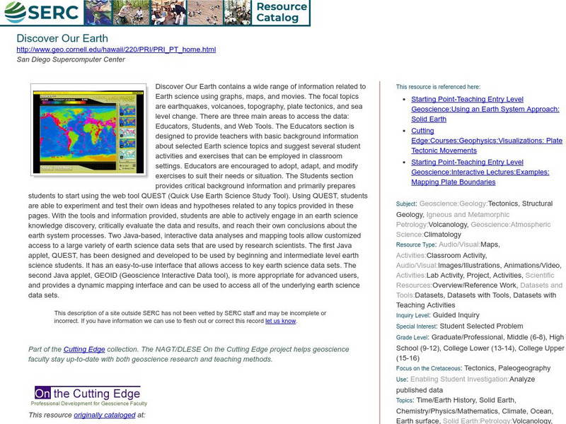
Serc: Discover Our Earth
Study earthquakes, volcanoes, topography, plate tectonics, and sea level change using graphs, maps, and movies. Engage in earth science knowledge discovery, critically evaluate the data and results, and reach conclusions about the earth...
US Geological Survey
U.s. Geological Survey
The U.S. Geological Survey reports on the latest news affecting the earth today, as well as providing a wealth of data, reports, and information.
Latimer Clarke Corporation
Altapedia Online: World Map Resources
Features downloadable World Political and Physical Maps that include country names, country borders, ocean features, island names, and lat/long graticules. Clicking on any part of the map enlarges it.
Science Education Resource Center at Carleton College
Serc: Fathoms, Ship Logs, and the Atlantic Ocean
Students use data from ship logs to graph a profile of the Atlantic Ocean. They will rely on prior knowledge of seafloor topography, instructions on how to read a bathymetric map, and observe a demonstration where the depth of the ocean...
Johns Hopkins University
Johns Hopkins University: Alabama State Maps
Check out this site from the Johns Hopkins University Applied Physics Laboratory for several different types of maps for the state of Alabama. You can find everything from a county map to a shaded relief map. If you are looking for map...
Library of Congress
Loc: Conservation and Environment
Understand the historic and recent use of land in various areas in the United States based on the maps on this site. "These maps show the changes in the landscape, including natural and man-made features, recreational and wilderness...
Johns Hopkins University
The Johns Hopkins University: Montana State Maps
At this site from The Johns Hopkins University Applied Physics Laboratory, you can learn more about the topography of Montana through this informative website. These maps are extremely detailed.
World Facts US
World Facts: Geography of Venezuela
Features detailed information about the topography, climate, and hydrography of Venezuela. Click on the link to take a look at the map.
Ohio History Central
Ohio History Central: Shaping the Land
This site contains maps and other information about the Ohio's topography. Great details about how glaciers played a key role in the formation of Ohio's land, the natural resources left behind, and the natural regions and their differences.
University of St. Andrews (UK)
University of St. Andrews: Mac Tutor History of Mathematics Archive
The University of St. Andrews, Scotland, presents hundreds of biographies of famous mathematicians, histories of math in various cultures, and interesting facts on the development of important math concepts. This is a huge reference....
Other
Jules Verne Voyager: Earth
A map resource that allows users to view many different features of the topography, textures, and geodetic data on selections in the drop down menus.
National Association of Geoscience Teachers
Nagt: Discovering Plate Boundaries
Students work collaboratively using data maps to discover plate tectonic boundary processes. Data sets used are earthquakes, volcanoes, seafloor age, and topography.
Other
Jules Verne Voyager Jr.: Earth
A map program allows users to explore the many features of Earth. Select base maps, features, and velocities.
Other
Unavco: Earth Scope
This interactive map program illustrates global-scale geodynamic processes of Earth. View and add base maps, features and velocities which can be selected in the drop down menus.
Other popular searches
- Topography Maps
- Contour Maps Topography
- Topography Maps of Europe
- Political, Topography Maps
- Inca Topography Maps


