Curated OER
The Impact of AIDS in Africa and its Effect on the United States
Eleventh graders explain the social devastation visited on seven nations of sub-Saharan Africa by the AIDS pandemic, with particular emphasis on the damage to educational systems, women, and Students.
Curated OER
Traveling Through Literature
Integrate geography with literature in this interdisciplinary instructional activity. Begin by reading a poem such as The Time We Climbed Snake Mountain by Leslie Marmon Silko. On a large map, place push pins in the cities or states...
Curated OER
Reshaping the Nation
High schoolers learn why the census makes a difference. In this U.S. Census lesson plan, students learn how to read and use a cartogram while they explore new ways to represent data.
Curated OER
Alexis de Tocqueville’s America
Students analyze de Tocqueville's America. In this democratic history lesson, students use primary sources to determine what de Tocqueville found to be so unique in the America. Students analyze artifacts, maps and documents through...
Curated OER
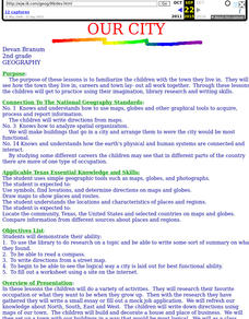
Our City
Second graders familiarize themselves with the town they live in by practicing their imagination, library research and writing skills.
Curated OER
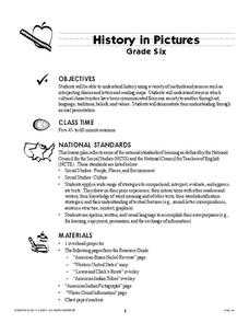
History In Pictures
Sixth graders explore Lewis and Clark's expeditions. For this Lewis and Clark lesson, 6th graders view the routes they took and discuss how the territory has changed. Students make a timeline of their journey. Students research online...
Curated OER
NATO Geography & Language
The class receives background information on NATO, an atlas, and a blank world map. They color the original 1949 countries in red, the 1952 additions in green, and the 1990 additions in blue. This exercise would be a good starting point...
Curated OER
This Land is Your Land? This Land is My Land!
Students research the various territory acquisitions in United States history and create an annotated map that tells the history of U.S. expansion. Working in small groups, students outline the land acquisitions and purchases made by...
Curated OER
Apple Logic and Problem Solving
Young scholars examine apple production in the United States. For this interdisciplinary lesson, students use problem solving strategies introduced to solve math problems associated with apple production in the United States. Student...
Curated OER
Survey of the Louisiana Purchase in 1815
Students explore the survey of the Louisiana Purchase by creating their own surveying and mapping techniques such as natural maps, pace maps, and orienting. Other students then try to follow the maps.
Curated OER
Geography and Artifacts of Mexico
Students review the structure of government in Mexico and discuss how it is different than the United States. Using artifacts, they must label and identify the city or state in which the artifact originated. They use the artifact clues...
Curated OER
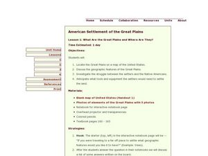
American Settlement of the Great Plains
Seventh graders examine the Great Plains. In this American settlement lesson, 7th graders create a map of the settled areas in the United States. Students discuss the struggle between settlers and the Native Americans.
Curated OER
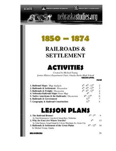
The Railroads and Settlement of the Great Plains
Enhance your American literature unit with this resource, in which readers access the Nebraska Studies website and read about "Railroads and Settlement." They search for a photograph of some aspect of the railroad from the Prairie...
Curated OER
Finding the West
Students question the idea of a geographic space called 'the West.' They first examine a map of the United States and hypothesize what region constitutes the West, then read two passages that critically discuss the notion of a geographic...
Curated OER
People On The Move
Students describe patterns of internal migration in the United States, past and present and evaluate implications of internal migration. They examine population movement at the state and local levels.
Curated OER
The Meat-Packing Industry in Chicago During the Progressive Era
Young scholars examine maps showing the hog and corn distribution of the United States. In groups, they research the reasons why Chicago became the natural hub for meat-packing processing in the United States. They examine changes in...
Curated OER
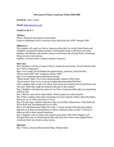
Movement of Native American Tribes 1830-1890
Students examine the movement of Native American tribes during the mid 1800's. For this American History lesson, students study two Native American tribes that live in the United States and complete a comparison/analyze project. Students...
Curated OER
Trout across America
Students research trout and salmon and create a report. In this trout and salmon lesson plan, students research where trout live in the United States, fill out a graphic organizer, and create a report on their findings.
Curated OER
Nature and Place Names in Arkansas
Middle schoolers examine the way that many place names in Arkansas came to be. By looking at Arkansas highway maps, they find names that come from the characteristics of each of the state's six geographical divisions. This interesting...
Curated OER
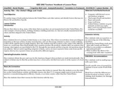
The Global Village and Trade
Young scholars analyze maps of trade patterns between the United States and other nations and identify factors that may influence the production of goods.
Curated OER
U.S.-Cuba Relations
Students study the history of United State/Cuba relations. In this diplomacy lesson, students research selected websites to gather information regarding various topics of significance between the U.S. and Cuba since 1868. Students...
Curated OER
Wetlands: Pave or Save?
Young scholars discuss the characteristics of wetlands and how to make them more productive. Using a map, they locate the major wetlands in the United States and color them using a key. They read an article and in groups answer...
Curated OER
Our Country's Landforms
Students investigate the many different landforms that are found throughout the United States. They use the internet and other resources to gather information. The information is used to prepare a multimedia slideshow and to create a...
Curated OER
The Campaign: Issues and Strategies. Campaign Press Coverage
Students discuss and fill out worksheets on the amount and type of press coverage given to certain candidates. In this press coverage lesson plan, students complete 4 worksheets and view maps of the United States to see where the press...
Other popular searches
- United States Maps
- United States Maps Regions
- Northeast United States Maps
- 50 United States Maps
- Create United States Maps
- Western United States Maps
- Custom United States Maps
- Outline Maps United States
- Blank United States Maps
- United States Landforms Maps
- United States Geography Maps
- United States Political Maps


