Hi, what do you want to do?
Other
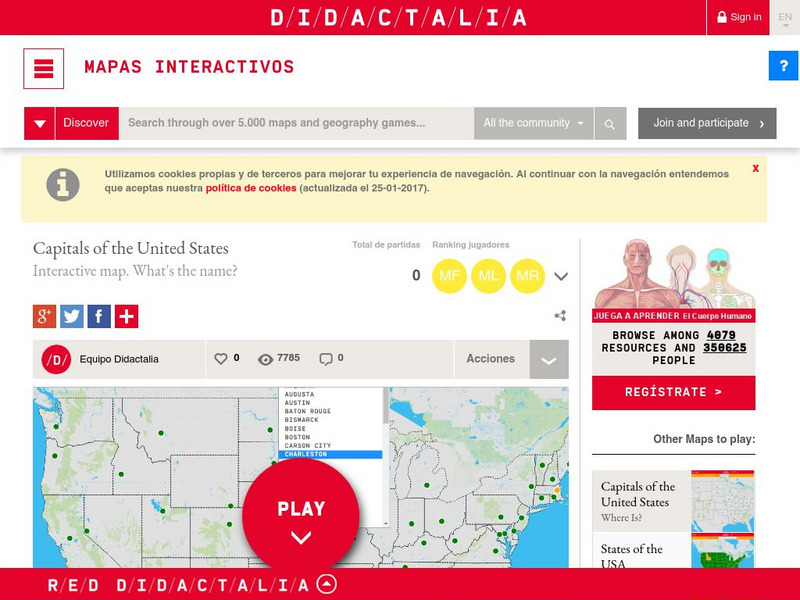
Didactalia: Interactive Map: Capitals of the United States
Interactive map and game to identify capitals of the U.S. states.
Ducksters
Ducksters: Geography Games: Capital Cities of the United States
Play this fun geography map game to learn about the capitals of the 50 states of the United States.
Curated OER
Educational Technology Clearinghouse: Maps Etc: The United States, 1890
A map from 1890 of the United States showing the territorial expansion from the original Thirteen Colonies to the states and territories of 1890. This map shows state capitals, railroads, lakes, and rivers. The map is color-coded to show...
Curated OER
Educational Technology Clearinghouse: Maps Etc: The United States, 1919
A map from 1919 of the continental United States showing state boundaries. The map shows state capitals and major cities, mountain systems, lakes, rivers, and coastal features.
Curated OER
Educational Technology Clearinghouse: Maps Etc: The United States, 1870
A map from 1870 of the continental United States showing state boundaries at the time (eastern Oklahoma was still Indian Territory). The map shows state capitals and major cities, mountain systems, lakes, rivers, and coastal features.
Curated OER
Etc: Maps Etc: Political Acquistitions of the United States, 1911
A map from 1911 of the United States showing the territorial acquisitions from the original States and Northwest Territory in 1783 to the Gadsden Purchase south of the Gila River in 1853. The map shows state capitals and major cities,...
Ducksters
Ducksters: United States Geography for Kids: New Hampshire
Kids learn facts and geography about the state of New Hampshire including symbols, flag, capital, bodies of water, industry, borders, population, fun facts, GDP, famous people, and major cities.
Other
Gynzy: Snake: States and Capitals
Students learn the location of states and capitals in this learning game.
New York Times
New York Times: Crossword Puzzle: The Fifty States
The New York Times Learning Network presents an online crossword puzzle that you can print or play online. This one is on The Fifty States. Subject matter may be a bit deep for an elementary student to work on independently.
Other
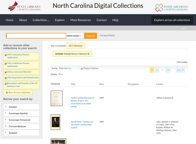
State Library of North Carolina: From Crossroads to Capital: History of Raleigh
A collection of maps, photographs, and historical documents that explore the growth of the city of Raleigh, North Carolina, from its earliest years onward.
Curated OER
Educational Technology Clearinghouse: Maps Etc: The United States, 1913
A map from 1913 of the United States with an inset map of the Alaska Territory. The map shows state boundaries and capitals at the time (for example, the map shows Guthrie as the capital of the Oklahoma Territory), major cities and...
Curated OER
Educational Technology Clearinghouse: Maps Etc: United States of America, 1883
A map from 1883 of the 'lower forty-eight’ United States showing state boundaries and state capitals, major cities and towns, mountain systems, lakes, rivers, and coastal features. The map shows Yellowstone National Park, the first in...
Curated OER
Etc: Maps Etc: United States and Confederate States, 1861
A map of the United States and Confederate States in 1861. The map is color-coded to show Free Union States, Slave Union States, Confederate States seceding before April 15, 1861, Confederate States seceding after April 15, 1861,...
Curated OER
Educational Technology Clearinghouse: Maps Etc: United States, 1888
A map from 1888 of the United States showing state boundaries and state capitals, major cities and towns, mountain systems, lakes, rivers, and coastal features. Longitude from Greenwich is shown at the top of the map, and from Washington...
Curated OER
Etc: Maps Etc: Commercial Map of the United States, 1872
A commercial map from 1872 of the United States showing the principal railroad and steamship routes in the region at the time. The map shows state boundaries and capitals, major cities and ports, submarine telegraph cables to Europe,...
Curated OER
Etc: Maps Etc: United States Showing Political Divisions, 1919
A map from 1919 of the Unites States showing state boundaries and capitals, major cities and towns, mountain systems, lakes, rivers, and coastal features.
Curated OER
Etc: The Growth of the United States, 1776 1867
A map of the United States showing the growth of the nation from 1776-1867. The map is color-coded to show the thirteen original states, the territory acquired by conquest during the revolution and the Treaty of 1783, the Louisiana...
Curated OER
Etc: Territorial Development of the United States, 1783 1867
A map of the United States showing the growth of the nation from 1783-1867. The map is color-coded to show the thirteen original states, the territory acquired by conquest during the revolution and the Treaty of 1783, the Louisiana...
Curated OER
Educational Technology Clearinghouse: Maps Etc: United States, 1907
A map from 1907 of the 'lower forty-eight’ United States showing state boundaries and state capitals, major cities and towns, mountain systems, lakes, rivers, and coastal features. An inset map details Alaska.
Curated OER
Educational Technology Clearinghouse: Maps Etc: United States, 1898
A map from 1898 of the 'lower forty-eight’ United States showing state boundaries and state capitals, major cities and towns, railroads, mountain systems, lakes, rivers, and coastal features. This map shows the Indian Territory in...
Curated OER
Educational Technology Clearinghouse: Maps Etc: United States, 1906
A map from 1906 of the continental or 'lower forty-eight’ United States showing state boundaries and state capitals, major cities and towns, mountain systems, lakes, rivers, and coastal features. Inset maps show the entire North American...
Curated OER
Etc: Maps Etc: The United States Population and Railroad Network, 1901
A map from 1901 of the United States showing population density, railroad lines, state capitals, and census centers of population at the time. The red figures indicate the mean population density per square mile for each state according...
Curated OER
Educational Technology Clearinghouse: Maps Etc: The United States, 1859
A map from 1859 of the United States showing State and territory boundaries at the time, capitals and major cities, mountain systems, plains, lakes, rivers, and coastal features of the area.


