Hi, what do you want to do?
Curated OER
Educational Technology Clearinghouse: Maps Etc: The United States, 1902
A map from 1902 of the United States showing physical features of mountain systems and highlands, basins, plains, prairies, limits of the glacial terminal moraines, lakes, rivers, and coastal features. The highlands above 2000 feet are...
Curated OER
Educational Technology Clearinghouse: Maps Etc: Navigable Rivers, 1820
Navigable rivers in the United States in about 1820.
Curated OER
Etc: Maps Etc: Commercial Map: United States, Canada, Mexico, 1904
North American commercial activities including: major agricultural crops (barley, corn, wheat, coffee, tobacco, et cetera) and secondary agricultural crops (oranges, lumber, wine); primary mining extraction (coal, gold, silver,...
Curated OER
Educational Technology Clearinghouse: Maps Etc: United States, 1789
A map of the United States in 1789, showing the State territorial claims, territories, and areas of territorial dispute. The map is color-coded to show States, territories, British possessions, and Spanish possessions, and shows the...
Curated OER
Educational Technology Clearinghouse: Maps Etc: United States, 1917
A map of the United States and territories showing the expansion from the formation of the original states to the purchase of the Danish West Indies (Virgin Islands) in 1917. The map is color-coded to show the original states, the states...
Curated OER
Educational Technology Clearinghouse: Maps Etc: United States, 1800
A map of the United States in 1800, color-coded to show the States, Territories, British possessions, and Spanish possessions. The map shows State and Territory boundaries at the time, the disputed territory in northern Massachusetts...
Curated OER
Educational Technology Clearinghouse: Maps Etc: United States, 1801
A map of the United States in 1801. The map is color-coded to show the States and territory of the United States west to the Mississippi River, the British territories of Upper and Lower Canada, Rupert's Land, and the Bahamas, the French...
Curated OER
Etc: Maps Etc: United States Canal Zone Showing the Completed Panama Canal, 1920
A map from 1920 of the United States Canal Zone showing the completed Panama Canal. The map shows the entrance ports of Colon on the Caribbean Sea and the city of Panama on the Pacific, the Panama Railroad, the original portion of the...
Curated OER
Etc: Maps Etc: Natural Regions of the United States, 1906
A relief map from 1906 of the United States showing terrain features of mountain systems and highlands, basins, plains, prairies, lakes, rivers, and coastal features.
University of Georgia
University of Georgia: Map of Southern States of America 1795
A large and detailed map of the southern U.S. States and territories to the immediate west. Indicates rivers, the Appalachian Mountains and latitude and longitude.
University of Georgia
University of Georgia: Map of Southern u.s. (1806)
A detailed 1806 map of the southern U.S. States and Territories and Spanish Florida showing borders, rivers, mountains and overland trails.
Curated OER
Etc: Maps Etc: Dispute Between United States and Mexico, 1846
A map showing the disputed territory in 1846 between the Nueces River, claimed to be the territory boundary by Mexico, and the Rio Grande River, claimed to be the boundary by the Republic of Texas. The map also shows the old Spanish...
Curated OER
Etc: Maps Etc: The Civil War in the United States, 1861
A map of the southeastern States showing the Federal and Confederate territories at the end of 1861. The railroad network shown is based on 1860 lines. The map shows major cities, mountain systems, rivers, and coastal features of the area.
Curated OER
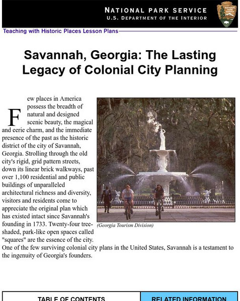
National Park Service: Savannah, Ga: Lasting Legacy of Colonial City Planning
The site explores the colonial history of the city of Savannah, Georgia. This interactive lesson has excellent information, an inquiry question, historical context, maps, readings, images, and activities.
Curated OER
Etc: State Claims to Western Lands, 1783 1802
A map of the United States east of the Mississippi River showing the State claims between 1783-1802. The map shows the western territorial boundary established by the Treaty of 1783 between Britain and the United States, the State claims...
Curated OER
Educational Technology Clearinghouse: Maps Etc: The West, 1783 1789
A map of the early United States between 1783 and 1789 showing the territorial State claims west to the Mississippi River, and is keyed to show undefined or disputed boundaries, boundaries of States and territories, and boundaries not...
Curated OER
Educational Technology Clearinghouse: Maps Etc: Flood Stations, 1916
A map from 1916 of the United States showing the cities where the government maintained flood stations at the time. "Reservoirs to hold back flood waters have been proposed, but their construction would be very expensive. The Weather...
Curated OER
Educational Technology Clearinghouse: Maps Etc: Presidential Election, 1860
A map of the United States showing the results of the presidential election of 1860. The map is color-coded to show the states carried by Lincoln (Republican), Breckinridge (Southern Democrat), Bell (Constitutional Union), and Douglas...
Curated OER
Educational Technology Clearinghouse: Maps Etc: Presidential Election , 1860
A map of the United States showing the results of the presidential election of 1860. The map is color-coded to show the states carried by Lincoln (Republican), Breckinridge (Southern Democrat), Bell (Constitutional Union), and Douglas...
Curated OER
Etc: Maps Etc: Interior Water Routes of the Us, 1910
A map from 1910 of the United States showing the navigable rivers and lakes of the interior in which water depths are three feet or more.
NOAA
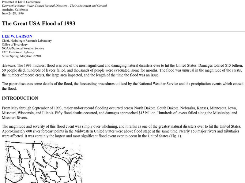
Noaa: The Great Usa Flood of 1993
Interesting abstract about the flood that hit the Midwest in 1993, one of the worst floods in United States History. Find out why the flood occurred, the damage, maps of the damage, charts, graphs, and statistics.
iCivics
I Civics: Louisiana Purchase (1803)
In this map-based lesson, students learn the historic importance of the Mississippi River, why the U.S. was determined to maintain access, and how the United States acquired the land that made up the Louisiana Purchase.
Curated OER
The u.s. At the Close of the Revolution, Showing Land Claims of States, 1911
A map of the United States at the close of the American Revolution showing the western land claims extending to the Mississippi River by the individual states after the Treaty of 1783 with Britain. The map shows the frontiers with the...
Curated OER
Educational Technology Clearinghouse: Maps Etc: South America, 1898
A map of South America in 1898. The map shows capitals and major cities, railroads, terrain, rivers, and coastal features, and includes an insert map of the Isthmus of Panama. "The chief industries in South America are herding,...


