Hi, what do you want to do?
Massachusetts Historical Society
Masshist: Massachusetts Historical Society
Site devoted to teaching the history of the state of Masssachusetts.
University of Massachusetts
University of Massachusetts: Phillip Deere Speech
This is the full text of a speech made by Phillip Deere that exemplifies his spiritual beliefs and is a call for the respect of all Native Americans. In this inspirational speech he advocates freedom of all Native Americans.
University of Massachusetts
University of Massachusetts: Aesop's Fables: "The Goose With the Golden Eggs"
Two retellings of Aesop's Fable "The Goose with the Golden Eggs." Both stories illustrate the same moral, "Greed often overreaches itself." The first is a traditional retelling of the original fable. The second is a modern retelling with...
University of Massachusetts
University of Massachusetts: Aesop's Fables: "The Lion and the Mouse"
Read this traditional fable of "The Lion and the Mouse" to learn that even little friends can do great things. Two illustrated versions are provided. Both include the same text, but one has traditional illustrations while the other has...
University of Massachusetts
University of Massachusetts: Aesop's Fables: "The Man and the Satyr"
Read and view illustrations for a traditional and then a modern-day retelling of Aesop's fable "The Man and the Satyr."
University of Massachusetts
University of Massachusetts: Aesop's Fables: "The Wind and the Sun"
Learn about the power of kindness while reading this illustrated fable "The Wind and the Sun." Then read the same story with different illustrations to provide a new point of view.
University of Massachusetts
University of Massachusetts: History of Migration and Immigration Laws in the Us
Provides a brief history of the migration and immigration laws starting in 1790, with brief descriptions of each law. Includes court decisions.
University of Massachusetts
Beavers in Massachusetts
Physical characteristics, distribution, food, life cycle, and dam and lodge building are the topics featured in this effective beaver site.
Other
History of Massachusetts: Henry Thoreau Arrested for Nonpayment of Poll Tax
Henry Thoreau left a legacy for people to listen to and defend their consciences. He felt strongly against taxes and avoided as many as possible, but could not escape the poll tax. This is a concise publication identifying Thoreau's...
Other
Massachusetts Foundation for Humanities: Lucy Stone
This well-written biography describes Lucy Stones life as a reformer, leader and orator in both the abolitionist and suffrage movements.
Other
Salem, Massachusetts: Salem Witch Trials Chronology
Explore a timeline of events in the Salem witch trials. Contains quotations from trial participants and a photograph of the tombstone of Sarah Good, convicted and executed as a witch.
Other
General George Washington in Massachusetts, 1775 76 [Pdf]
A thematic unit using primary sources to tell the life and military career of George Washington.
Yale University
Colonial Charters, Grants and Related Documents
Scroll to Massachusetts and link to the colonial documents establishing the colonies' earliest forms of government and laying the foundation for self-governing and eventual independence from England. Beginning with The Charter of England...
Library of Congress
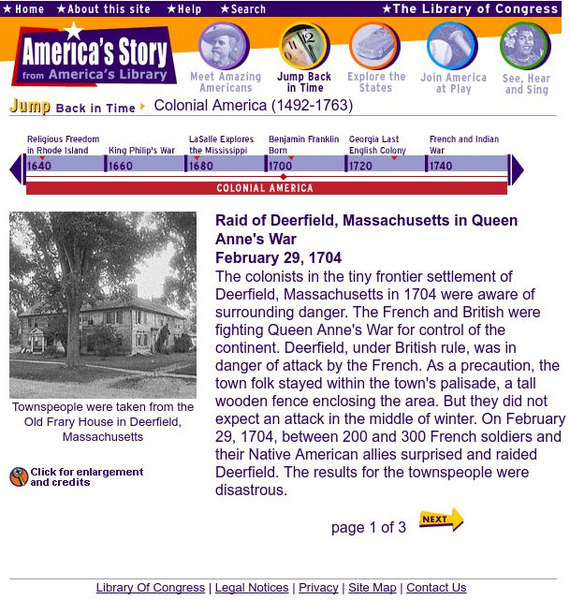
Loc: America's Story: Raid of Deerfield
Discover facts about the raid at Deerfield, Massachusetts. This feature describes the attach of the colony, as well as the ally relationship between the French and Native Americans. Provides three pages of information, as well as an...
Huntington Library
Huntington Library: Religious Dissent [Pdf]
This lesson supplements one on the "Settlement of the Plymouth and Massachusetts Bay Colonies of New England." It looks at religious dissent and intolerance among the Puritans in the Massachusetts Bay Colony. Students look at Roger...
National Endowment for the Humanities
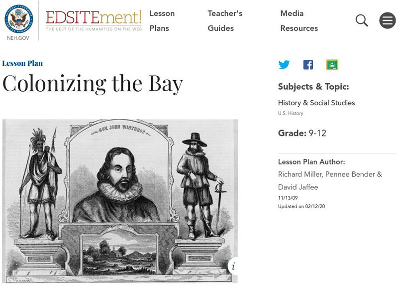
Neh: Edsit Ement: Colonizing the Bay
John Winthrop's "Model of Christian Charity" was delivered as a sermon aboard the Arabella, as the Puritans approached their destination of Massachusetts Bay in 1630. The speech spells out his vision of the society they hoped to create...
Other
Raid on Deerfield: The Many Stories of 1704
This award-winning resource draws the reader into a consideration of history as witnessed from multiple perspectives. Discover the mystery of the French and Indian raid on colonial Deerfield, Massachusetts where five cultures clashed in...
Other
Winthrop Society
At the online home of the Winthrop Society find information on the early settlers of Massachusetts, the ships that brought them to America, the documents that the colonists lived by, and the Great Migration of Puritans to the New World.
Massachusetts Institute of Technology
Mit: Open Course Ware: Electricity and Magnetism
The Massachusetts Institute of Technology offers a free and open educational resource for educators, students and self-learners. The university's physics OpenCourseWare includes a large section on electricity and magnetism. Numerous...
University of California
The History Project: The Antinomian Controversy
One of the most enduring myths in American history is the belief that the Puritans fled to America in search of religious liberty. Unfortunately, this belief is at best only a half-truth, The Puritans were strict religious people who...
Library of Congress
Loc: Today in History: July 12: Henry David Thoreau
From the Library of Congress "Today in History," this website provides biographical information about Henry David Thoreau along with photographs of Thoreau and Walden Pond. Provides links to online text for Thoreau's work, links to...
Teaching American History
Teaching American History: "In Doors": Ratification in State Conventions
Strengthen understanding of the ratification of the Constitution. Study the state ratification conventions of Massachusetts, Virginia, and New York.
Smithsonian Institution
National Portrait Gallery: Black List Project: Governor Deval Patrick
Making history as the first African American governor of Massachusetts, dip into a biography featuring Governor Deval Patrick.
National Women’s History Museum
National Women's History Museum: Anne Hutchinson
Considered one of the earliest American feminists, Anne Hutchinson was a spiritual leader in colonial Massachusetts who challenged male authority.
Other popular searches
- Massachusetts Bay Colony
- 54th Massachusetts
- Massachusetts Map
- Massachusetts Colonial Times
- Deerfield Massachusetts
- Plymouth, Massachusetts 1621
- Massachusetts Bay
- Massachusetts 54th Regiment
- The Massachusetts Bay Colony
- Massachusetts Colony
- Quakers in Massachusetts
- Massachusetts History


