Hi, what do you want to do?
US Department of State
U.s. Department of State: Office of the Historian: Milestones: 1830 1860
Concisely written accounts of three important events in the history and shaping of Texas: the Annexation of Texas, the Mexican-American War, and the Treaty of Guadalupe-Hidalgo.
Lone Star Junction
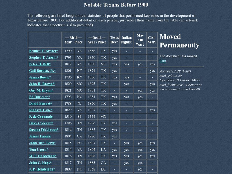
Lone Star Junction: Notable Texans Before 1900
Lone Star Junction identifies an extensive list of high-profile Texans prior to 1900. A chart informs readers what general role in Texas history each person was involved in from Texas Revolution, Indian Wars, Civil War, and the...
Other
Global Security: 54 40 or Fight
Describes the significant territorial changes that took place in the United States under the presidency of James K. Polk. These included the annexation of Texas, the settling of the dispute with Great Britain over claims to Oregon...
University of Groningen
American History: Essays: Anglo Amer. Colonization in Texas: Texas 1836 1848
A brief look at the declaration of independence from Mexico by Texas in 1836, the removal of restrictions on slavery, and how this dramatically increased the population and led to a much greater reliance on the cotton industry in the...
University of Oregon
Mapping History: American History
Interactive and animated maps and timelines of historical events and time periods in American history from pre-European times until post-World War II.
Ducksters
Ducksters: Texas State History for Kids
Kids learn about the history and timeline of the state of Texas including early explorers, Native Americans, Mexican-American War, Republic of Texas, and the Civil War.
US National Archives
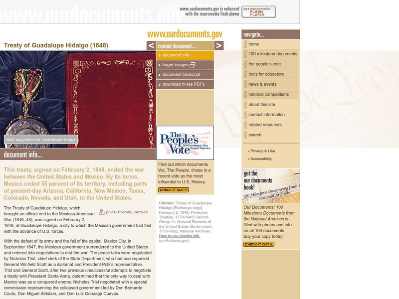
Our Documents: Treaty of Guadalupe Hidalgo
An interactive exploration of the Treaty of Guadalupe Hidalgo, which was signed in 1848 and ended the Mexican-American War. Puts the treaty in context, makes reference to U.S. territorial gains, and includes links to larger images, a...
University of Texas at Austin
Center for American History: Texas, Texans, and the Alamo
This is an online exhibit of photographs and other momentos from throughout the colonization of the Mexican territory as well as during the war.
Son of the South
Son of the South: The History of Texas: Battle of Medina
Written in the style of a narrative of events, read the stories surrounding the Battle of Medina in the Mexican War for Independence from Spain.
Texas A&M University
Sons of De Witt Colony Texas: Gutierrez De Lara: In Nuevo Santander
Jose Gutierrez de Lara, the first governor of Mexican Texas, was determined to free Mexico from Spain. Read about the early Texas settlement of Nuevo Santander, and how it was settled by Spanish American colonists.
Independence Hall Association
U.s. History: "American Blood on American Soil"
President James Polk's desire was for the United States to stretch from sea to shining sea. See what happened when his overatures to Mexico to buy the land north of the Rio Grande River were spurned. Take a brief vote to see if Polk was...
Texas State Historical Association
Texas State Historical Association: Battle of Medina
A concise synopsis of the Battle of Medina, a part of the Mexican War of Independence against Spanish authority in Mexico.
Curated OER
Educational Technology Clearinghouse: Maps Etc: The Mexican War, 1803 1848
A map of northern and central Mexico and southern United states showing the area of conflict during the Mexican-American War (1846-1848). The map shows the Mexican boundary (under Spain) established by the Louisiana Purchase (1803)...
Curated OER
Educational Technology Clearinghouse: Maps Etc: The Mexican War, 1846 1848
A map of central Mexico and southern United States showing the important cities and battle sites of the Mexican-American War (1846-1848). The map shows the rivers of the contested boundaries that led to the war, the Rio Grande del Norte...
Curated OER
Educational Technology Clearinghouse: Maps Etc: The Mexican War, 1846 1848
A map of Mexico and southern United States showing the campaigns and battle sites of the Mexican-American War (1846-1848). The map shows the routes of Taylor, Wool, Kearny, Doniphan, and Scott, the pre-war boundaries of the United States...
Curated OER
Educational Technology Clearinghouse: Maps Etc: Mexico and Texas, 1845 1848
A map of Mexico and Texas from the annexation of the Republic of Texas by the United States (1845) to the end of the Mexican-American War (1848). The map is color-coded to show the territory of Texas in 1845, the territory of dispute...
Curated OER
Educational Technology Clearinghouse: Maps Etc: War With Mexico, 1846 1848
A map of Mexico and southern United States showing the campaigns and battle sites of the Mexican-American War (1846-1848). The map shows the territory acquired from Mexico after the war, and the routes of Taylor, Wool, Kearny, Doniphan,...
Curated OER
Educational Technology Clearinghouse: Maps Etc: War With Mexico, 1846 1848
A map of Mexico and southern United States showing the campaigns and battle sites of the Mexican-American War (1846-1848). The map shows the routes of Taylor, Wool, Kearny, Doniphan, and Scott, the pre-war boundaries of the United States...
Curated OER
Educational Technology Clearinghouse: Maps Etc: War With Mexico, 1846 1848
A map of Texas, New Mexico, and northern Mexico showing the principal campaigns and battle sites of the Mexican-American War of 1846-1848.
PBS
Pbs: Who Made America?: Innovators: Samuel Colt
One-page profile of influential innovator, Samuel Colt, whose vision and ideas created the revolving pistol that was later used in the Mexican American War and the Texas Revolution.
PBS
Pbs: New Perspectives on the West
This in-depth resource presents a history of the American West from pre-Columbian times until World War I with profiles, documents, and images. It encourages visitors to link these into patterns of historical meaning for themselves....
US Department of State
Bureau of International Information Programs: History Outline: Sectionalism
Article reviews several conditions of American society that sowed the seeds of civil war, particularly slavery and sectional conflict.
Houghton Mifflin Harcourt
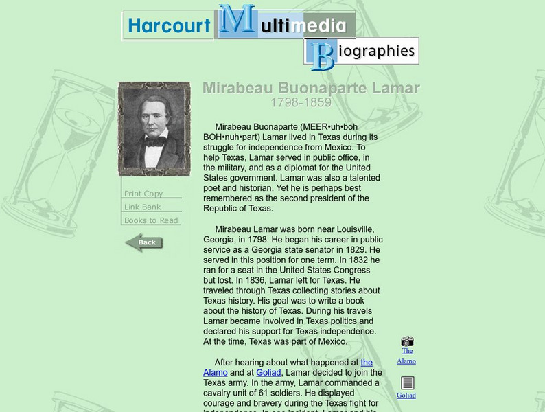
Harcourt: Biographies: Mirabeau Buonaparte Lamar
Brief biography of Texas historical writer includes helpful information regarding Texas history of the 19th century.
Curated OER
Wikipedia: National Historic Landmarks in Louisiana: Fort Jesup
Fort Jesup was built in 1822 to help protect the western border between American and Spanish territories. Under the command of future U.S. President Zachary Taylor, soldiers at the fort monitored Texas as it passed from Spanish and...


