Hi, what do you want to do?
Other
Wisconsin Historical Society: Wisconsin's Great Lakes Shipwrecks
This dramatic interactive delves into the depths to explore the many shipwrecks which have taken place off the coast of Michigan's Great Lakes. Each of the four main topics opens into additional extensive and detailed information. Click...
US Environmental Protection Agency
Epa: Great Lakes
The EPA profiles the Great Lakes ecosystem, their ecological protection and restoration, wetlands, shorelands, pollution prevention, and so on. Click "Visualizing the Great Lakes" for pictures of the lake environment.
University of Chicago
University of Chicago: The Great Lakes: Our Legacy, Our Future
This 2001 exhibit focused on the EPA's Great Lakes National Program Office's work to ensure the protection and restoration of the Great Lakes in the areas of chemical contamination and habitat loss.
Library of Congress
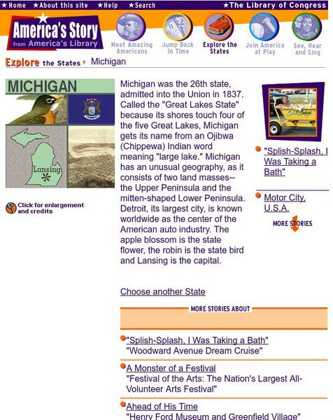
Loc: America's Story: Michigan
Discover the "Great Lakes State." Learn all of the different nicknames for Michigan. Library of Congress website gives us a wide range of information.
Missouri Botanical Garden
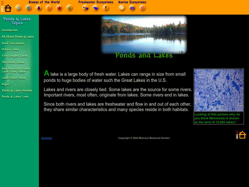
Missouri Botanical Garden: Lakes and Ponds
This illustrated website features facts about lakes and ponds and their special place in geography, natural history, and as a biome.
Curated OER
Clip Art by Phillip Martin: The Great Lakes
Map highlighting the Great Lakes of North America.
Curated OER
Educational Technology Clearinghouse: Maps Etc: Lake Agassiz, 1911
A map of the Laurentide era glacial Lake Agassiz in the present day region of the northern United States and southern Saskatchewan, Manitoba, and Ontario. The lake was present during the last glacial period, and covers an area larger...
Curated OER
Educational Technology Clearinghouse: Maps Etc: Mississippi Valley, 1672 1673
A facsimile from the collection of Francis Parkman (1865) of an early map of the Mississippi River Valley from the Great Lakes to the Gulf of Mexico, showing the explorations of Father Jacques Marquette (1672-1673). The map shows Lac de...
Curated OER
Etc: Development of the Northwest Territory in Us, 1790 1810
A map of the American Northwest Territory showing the boundary developments in 1790, 1800, and 1810. The upper left map shows the territory acquired by the United States from Britain after the Revolutionary War as established by the...
Curated OER
Educational Technology Clearinghouse: Maps Etc: Northern Campaign, 1812 1814
A map of the Great Lakes region of North America showing the area of conflict during the northern campaign of the War of 1812, from Lake Michigan east to Lake Champlain and the Hudson River. The map shows the routes of Hull, Wilkinson,...
Curated OER
Educational Technology Clearinghouse: Maps Etc: War of 1812, 1812
A series of maps showing the principal campaigns, forts, and battle sites of the War of 1812, including: a map of the northern seat of war in the Great Lakes region of Canada, New York, Pennsylvania, Ohio, and the Michigan Territory; a...


