Hi, what do you want to do?
Curated OER
Geography of the English Settlements
Third graders locate several important American colonial cities on a map and research how their proximity to water and nearby arable land affected the rate and success of settlement.
The History Cat
The History Cat: History of Colonial America: The Thirteen Colonies
Compares life in the three regions of the thirteen British colonies - the New England colonies (Massachusetts, New Hampshire, Rhode Island, and Connecticut), the Middle Colonies (New York, Pennsylvania, Delaware, and New Jersey), and the...
Siteseen
Siteseen: Land of the Brave: Middle Colonies
Article on the Middle Colonies provides facts on religion, history, economy, and government of Pennsylvania, Delaware, New York, and New Jersey.
National Humanities Center
National Humanities Center: Teacher Serve: Religious Pluralism in the Middle Colonies
Essay looks at the phenomenon of religious pluralism in the middle colonies. Author discusses religious sects in New York, New Jersey, Pennsylvania, Delaware, as well as African Americans and Native Americans.
Independence Hall Association
U.s. History: Middle Colonies: Quakers in Pennsylvania and New Jersey
A good look at the philosophy of the Quakers who colonized William Penn's religious refuge in the colony of Pennsylvania. Read about Penn's liberal views about government, religious freedom, and relations with Native Americans.
PBS
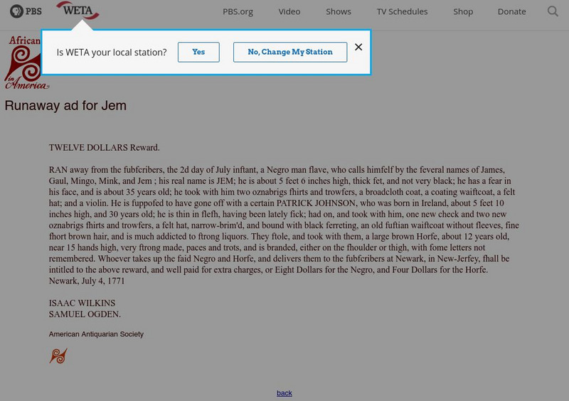
Africans in America: Runaway Slave Ad From Colonial New Jersey
Here from PBS is the original text of a runaway slave ad for a slave named Jem. His owner in Newark, New Jersey describes him and offers a reward.
Other
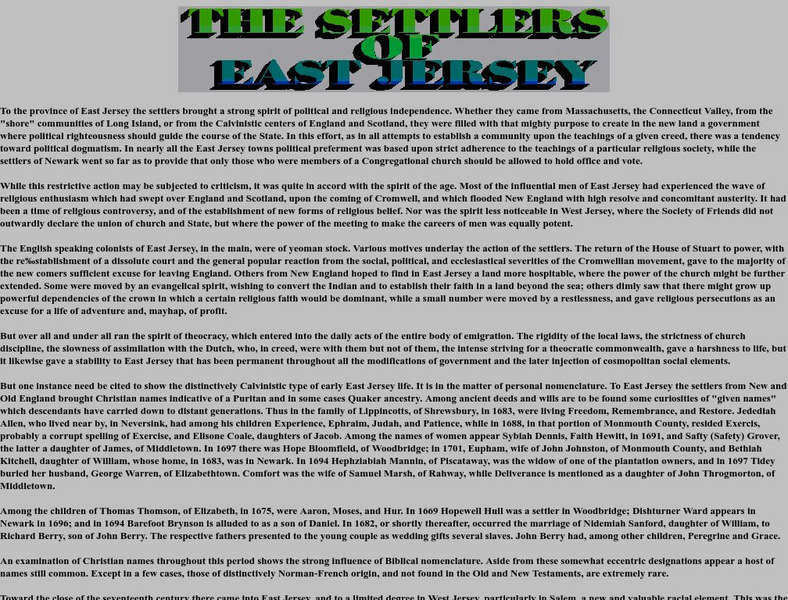
Us Gen Net: The Settlers of East Jersey
This site describes the wide variety of settlers who came to East Jersey. They came from many different countries and religions.
Curated OER
Educational Technology Clearinghouse: Maps Etc: The Middle Colonies, 1609 1702
A map of the Middle Colonies of New Jersey and eastern Pennsylvania, with portions of New York, Maryland and Delaware, showing the early European settlements in the area from 1609 to 1702. The map shows the boundary between West New...
Curated OER
Educational Technology Clearinghouse: Maps Etc: Middle Colonies, 1620 1702
A map of the New Jersey Colony between the establishment of the Dutch settlement at Bergen (1620) and the unification of East and West Jersey in 1702. The map shows the 'North River’ (Hudson River) and 'South River’ (Delaware River), the...


