Hi, what do you want to do?
Central Intelligence Agency
Cia: World Factbook: Germany
This resource from the CIA World Factbook provides a detailed fact sheet of Germany. The content covers the country's geography, people, government, economy, communications, transportation, military, and transnational issues. It includes...
Central Intelligence Agency
Cia: World Factbook: Estonia
This resource from the CIA World Factbook provides a detailed fact sheet of Estonia. The content covers the country's geography, people, government, economy, communications, transportation, military, and transnational issues. It includes...
Central Intelligence Agency
Cia: World Factbook: Ukraine
This resource from the CIA World Factbook provides a detailed fact sheet of Ukraine. The content covers the country's geography, people, government, economy, communications, transportation, military, and transnational issues. It includes...
Central Intelligence Agency
Cia: World Factbook: Tajikistan
This resource from the CIA World Factbook provides a detailed fact sheet of Tajikistan. The content covers the country's geography, people, government, economy, communications, transportation, military, and transnational issues. It...
Central Intelligence Agency
Cia: World Factbook: Kuwait
This resource from the CIA World Factbook provides a detailed fact sheet of Kuwait. The content covers the country's geography, people, government, economy, communications, transportation, military, and transnational issues. It includes...
Central Intelligence Agency
Cia: World Factbook: India
Detailed information about the country of India. Topics covered include the geography, people, government, economy, communications, transportation, military, and transnational issues. Also included are photos, maps, and an image of the...
Central Intelligence Agency
Cia: World Factbook: Guatemala
This resource from the CIA World Factbook provides a detailed fact sheet of Guatemala. The content covers the country's geography, people, government, economy, communications, transportation, military, and transnational issues. It...
Central Intelligence Agency
Cia: World Factbook: Qatar
This resource from the CIA World Factbook provides a detailed fact sheet of Qatar. The content covers the country's geography, people, government, economy, communications, transportation, military, and transnational issues. It includes...
Central Intelligence Agency
Cia: World Factbook: Saint Pierre and Miquelon
This resource from the CIA World Factbook provides a detailed fact sheet of Saint Peirre. The content covers the French territory's geography, people, government, economy, communications, transportation, military, and transnational...
Central Intelligence Agency
Cia: World Factbook: Oman
A concise description of Oman, including geography, people, government, economy, communications, transportation, military, transnational issues.
Central Intelligence Agency
Cia: World Factbook: Suriname
This resource from the CIA World Factbook provides a detailed fact sheet of Suriname. The content covers the country's geography, people, government, economy, communications, transportation, military, and transnational issues. It...
Information Technology Associates
Theodora: Slovakia: 2017
Information and statistics about Slovakia, collected from the 2003 CIA World Factbook and the Library of Congress Country Studies. Sections include geography, maps, population, religion, military, international issues, history,...
Curated OER
National Park Service: Stones River National Battlefield: Battle of Stones River
A very detailed description of the Battle of Stones River, a must-win for the Union Army. Find day-by-day battle maps, information about the carnage over the several days of fighting, and discover the importance of capturing the...
Central Intelligence Agency
Cia: World Factbook: St. Kitts and Nevis
This resource from the CIA World Factbook provides a detailed fact sheet of St. Kitts and Nevis. The content covers the country's geography, people, government, economy, communications, transportation, military, and transnational issues....
Library of Congress
Loc: American Memory: George Washington: Surveyor and Mapmaker
Most Americans know George Washington as the brilliant military and political leader; but as a young man, he was a surveyor by trade. Follow his career through this easy-to-read narrative complete with his early maps and surveys.
Other
Yahoo Kids World Factbook: Germany
A resource about Germany. Learn about the country's geography, population, economy, government, military, foreign relations. View statistical facts, a country map, and the national flag.
Civil War Home
Home of the American Civil War: Battle of Stones River
A source for several articles about the Battle of Stones River. You can find a description of the battle, a battlefield map, as well as the official Orders of Battle of both the Union and Confederate armies.
Library of Congress
Loc: George Washington: First in War, First in Peace
Primary texts allow students to examine George Washington's leadership in times of war and during his presidency. Lesson includes list of excerpts of primary texts, including maps, letters, and speeches, group activities, discussion...
PBS
Pbs: American Experience: General Douglas Mac Arthur
This site is based on the PBS program "American Experience," and has links to a biography of Douglas MacArthur (people/events), battle maps, and a transcript of the PBS program about him.
Wikimedia
Wikipedia: Guatemala
Wikipedia furnishes useful information about the Central American country of Guatemala. Content includes history, politics, geography, economy, culture, maps, and so on.
Other
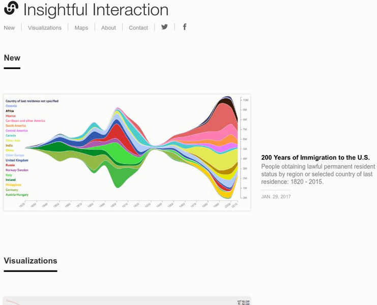
Insightful Interaction: Visualizations
A collection of interactive visualizations that were produced through analysis of economic, political, and market research data. Topics are diverse, e.g., military spending and trade, immigration, consumer spending, crime, unemployment,...
TeachEngineering
Teach Engineering: The Invisible Radar Triangle
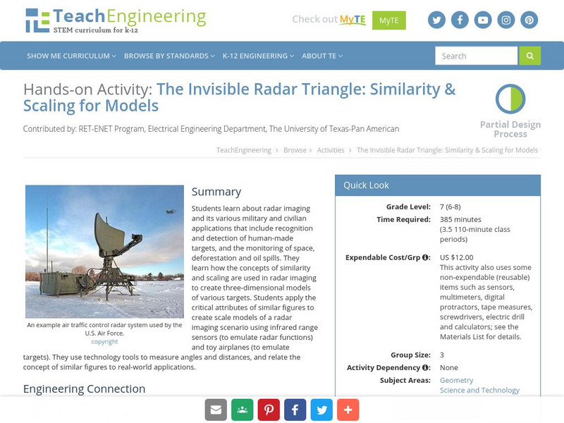
Students learn about radar imaging and its various military and civilian applications that include recognition and detection of human-made targets, and the monitoring of space, deforestation, and oil spills. They use technology tools to...
Central Intelligence Agency
Cia: World Factbook: Barbados
This resource presents general country information and statistics about Barbados. The information is divided by subject matter. An image of a map and a flag are included; click to enlarge.
Central Intelligence Agency
Cia: World Factbook: Belize
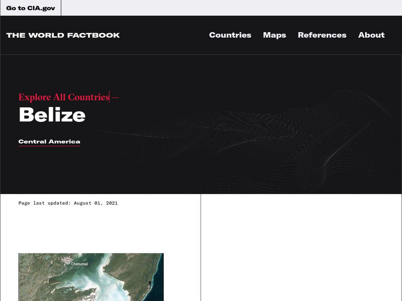
This resource presents information about Belize. It includes a map, and links to geography, people, government, economy, and much more.


