Hi, what do you want to do?
Central Intelligence Agency
Cia: World Factbook: Angola
This resource from the CIA World Factbook provides a description of Angola's location, people, political information, and economy, including summary statistics. It includes a map and flag.
Central Intelligence Agency
Cia: World Factbook: Monaco
This site from the CIA World Factbook has some general information about the people, government, geography, and economy of Monaco as well as a map.
Central Intelligence Agency
Cia: World Factbook: Finland
This site from the CIA Factbook gives facts about Finland including geography, people, government, economy, and a map.
Central Intelligence Agency
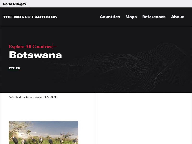
Cia: World Factbook: Botswana
This resource provides a description of Botswana's location, people, and economy, including summary statistics. Includes a map and the national flag.
Other
Traveling Haiti
You can find information about Haiti here. Presents quick facts and statistics on Haiti while also offering a historical timeline, current news, maps, tourist information, and more.
Other
Xenophon Group: Yorktown Campaign (August October 1781)
A very detailed account of activities during the months leading up to and throughout the siege of Yorktown. Excellent maps and images also supplied.
Other
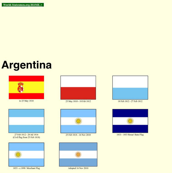
World Statesman: Argentina
This site is a complete encyclopedia of Argentinean leaders. Also provides detailed chronologies, flags, national anthems, maps and indexes.
Latimer Clarke Corporation
Atlapedia Online: Japan
If you're doing a research paper on Japan, this is a great place to begin. Has information about the history, people, geography, climate, economy, and more. Click on the map image to get more details and an enlarged view.
Other
Country Reports: Tajikstan
This resource provides information on the following topics: government, economy, people, geography, military, communications, transportation, and weather.
Other
Metrocosm: A Tangled Web of Alliances
Jefferson and Washington warned future Americans about entangling our country in too many alliances. Since WWII, we have largely ignored this advice. View our defense pacts, along with the rest of the world, on this map that resembles a...
Latimer Clarke Corporation
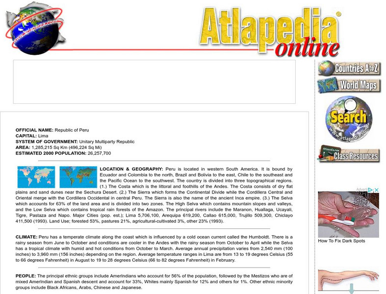
Atlapedia Online: Peru
If you're doing a research paper on Peru, this is a great place to begin. Has information about the history, people, geography, climate, economy, and more. Click on the map image to get more details and an enlarged view.
Hans Lohninger
Photo Globe: Bolivia
Presents many general country specific facts about Bolivia in a well organized chart form. This site is enriched by links to maps and an image of the Altiplano salt flats.
Latimer Clarke Corporation
Atlapedia Online: Bahamas
A complete profile of the Commonwealth of the Bahamas including highlights on its geography, climate, people, modern history, economy, communications, and military. Click on the maps to enlarge them.
Latimer Clarke Corporation
Atlapedia Online: Iraq
Has information about Iraqi history, people, geography, climate, economy, and more. Click on the map image to get more details and an enlarged view. The information covers up to 1993.
Other
North Georgia History: Chickamauga: River of Blood
A very vivid review of the Battle from North Georgia.com. Images and links to maps are also provided.
Curated OER
Map 45: The Korean Conflict 1950 1951
Detailed history of the Korean War from a larger work on U.S. military history: the decision to go to war, the military engagements, the stalemate, and the aftermath. [Maps included but photographs from the original publication are not.]
Curated OER
Map, First Army Zone 11 20 July 1944 (Map)
This military history essay describes the landing of the United States Army during the Normandy Invasion of June 6, 1944.
Curated OER
Niger Map
A two-part article that considers the role of the U.S. military in the war on terrorism in Africa, specifically Niger. Is it enough to train African forces in anti-terrorism tactics and then leave, or does the U.S. need to step up...
Curated OER
Map of Algeria
A profile of Algeria that includes facts about the country and information about its leaders and the media. Click on the Timeline by the flag of Algeria for a chronology of events since 1962. Click above the flag for a video of January...
Curated OER
Map 40: Southern Approaches to Europe
HIghlights the military strategy of the United States during World War II in fighting Germany and Italy.
Curated OER
Map 41: Northern Europe
HIghlights the military strategy of the United States during World War II in fighting Germany and Italy.
Curated OER
Map, Overlord Area 1944
This military history essay describes the landing of the United States Army during the Normandy Invasion of June 6, 1944.
Curated OER
Map, the Final Overlord Plan
This military history essay describes the landing of the United States Army during the Normandy Invasion of June 6, 1944.


