Hi, what do you want to do?
Curated OER
The Not-So-Jolly Roger
Students assemble details about a pirate voyage and choose which details to include on a postcard that pirate might have written home. They discuss the Pirate Code and determine what should be done in certain "Sticky Situations."
Curated OER
Chinese Immigration in the Mid-19th Century
Students interpret historical evidence presented in primary and secondary resources. In this Chinese immigration lesson, students research the Chinese immigration between 1850 and 1882.
Curated OER
Manifest Destiny
In this Westward Expansion worksheet, students read assigned textbook pages which describe Manifest Destiny and respond to 33 short answer questions.
Curated OER
LABOR UNIONS IN THE 21ST CENTURY
Young scholars define and discuss labor unions in the United States. They compare and contrast labor unions in the United States and labor unions in Europe and Japan.
Digital Dialects
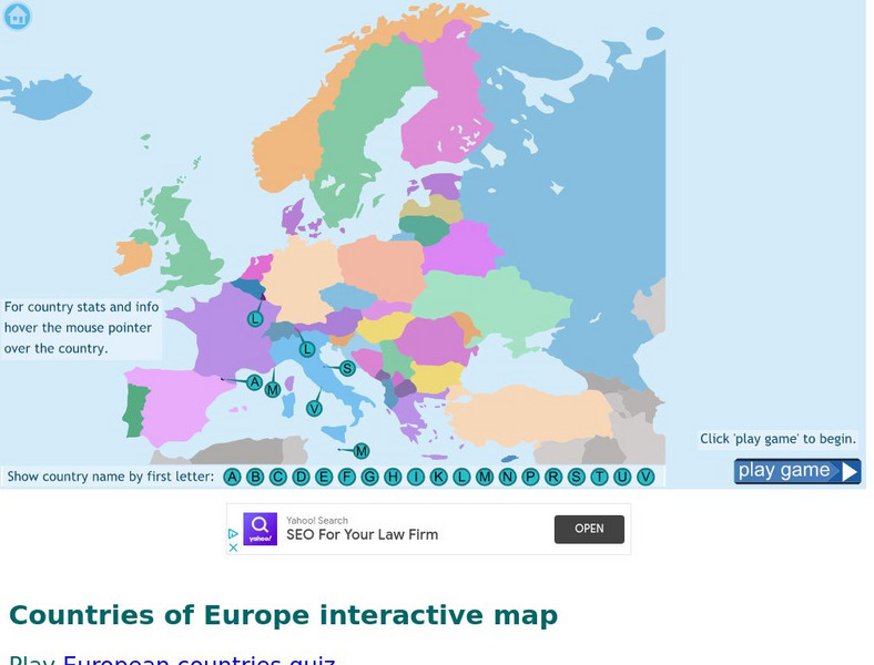
Digital Dialects: Geography Games: Countries of Europe
Study a map showing the countries in Europe, and then try to match their names to their locations on a blank map.
Countries and Their Cultures
Countries and Their Cultures: Pokot
During the colonial period, the Pokot were called "Suk" by Europeans. To some Pokot, the older designation is a reminder of an era in which Africans lacked the power to name themselves; to others, it represents the clever ruse of a...
Alabama Learning Exchange
Alex: Zagat's Guide to the Columbian Exchange
This is a unit plan designed for a class that meets for approximately 60-96 minutes. It is also recommended that this project be used to conclude a unit that covers European exploration and the Columbian Exchange. Students will work...
A&E Television
History.com: 10 Things You May Not Know About Christopher Columbus
Check out 10 things you may not know about the explorer who sailed the ocean blue in 1492 for example, Columbus didn't set out to prove the earth was round.
Curated OER
Educational Technology Clearinghouse: Maps Etc: Colonial Africa, 1914
A map of Africa in 1914, showing the presence of European powers, including British, French, German, Portuguese, Spanish, Italian, and Belgian possessions. Native states, major cities and major railways are also shown. This map reflects...
Curated OER
Educational Technology Clearinghouse: Maps Etc: Pre Colonial Africa, 1885
A map of the African continent prior to the Berlin Conference of 1885, when the most powerful countries in Europe at the time convened to make their territorial claims on Africa and establish their colonial borders at the start of the...
Curated OER
Educational Technology Clearinghouse: Maps Etc: Pre Colonial Africa, 1872
A map of Africa showing the continent prior to the Berlin Conference of 1885, when the most powerful countries in Europe at the time convened to make their territorial claims on Africa and establish their colonial borders at the start of...


