Other
International Boundary Commission
International Boundary Commission website provides pictures and information on its history, purpose and function as a bi-national organization. Under the 1960 International Boundary Commission Act, the Commission's work is described as...
United Nations
United Nations: Cartographic Section: Okavango River Basin [Pdf]
This map from the United Nations is a very detailed map of the Okavango River Basin, showing rivers, wetlands, cities, country boundaries and much more. Increase the viewing percentage to read the map easily.
Smithsonian Institution
National Museum of the American Indian: Indigenous Geography
Indigenous Geography helps you develop key understandings on nine different dimensions as they relate to six Native communities located in the Western Hemisphere. Learn about the creation stories, place boundaries and landmarks, calendar...
Henry J. Sage
Sage American History: Oregon Boundary Dispute and Oregon Fever
Article outlining the disputes and events in the 1840s leading to the acquisition of the Oregon Territory which included land west of the Continental Divide between northern California and the Province of British Columbia.
Other
Animated Atlas: Growth of a Nation
A 10-minute movie showing the expansion of the United States after the end of the Revolutionary War. Follow the directions to start the movie and listen to the explanations.
US National Archives
Nara: American Originals: The Treaty of Paris
A photograph from the National Archives and Records Administration of part of the original Treaty of Paris with a brief narrative about the provisions of the Treaty.
Other
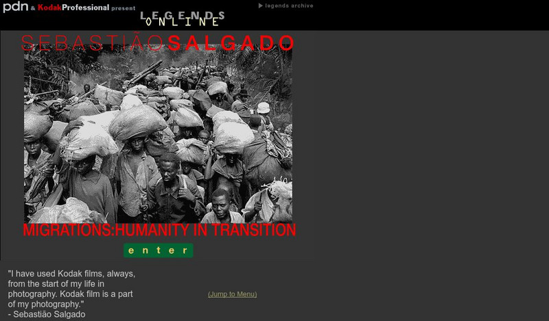
Pdn and Kodak Professional: Migrations: Humanity in Transition
Displays images by photojournalist, Sebastian Salgado, on immigrants in motion "seeking survival and a better life - one individual at a time, one family at a time, from field to town to city, and across national boundaries"....
Curated OER
Etc: Maps Etc: Political Boundaries in Europe, 1920
Map of Central and Western Europe after the Treaty of Versailles at the end of WWI. The map includes railroads, canals, shipping routes, major cities and capitals, and the country boundaries established by the Treaties of Versailles,...
Curated OER
Educational Technology Clearinghouse: Maps Etc: The Indian Nations, 1775
An early map of the eastern North America from the Great Lakes to the Gulf of Mexico and east of the Mississippi River around 17765, showing the Indian Nations adjoining to the Mississippi, West and East Florida, Georgia, South and North...
Curated OER
Etc: Maps Etc: The American Indian Nations, 1776
An early map of the southeastern North America around 1776, showing the American Indian Nations of the region at the time. The map shows colonial boundaries extending from the Atlantic coast to the Mississippi River, towns, forts, and...
Biblioteca Virtual Miguel de Cervantes
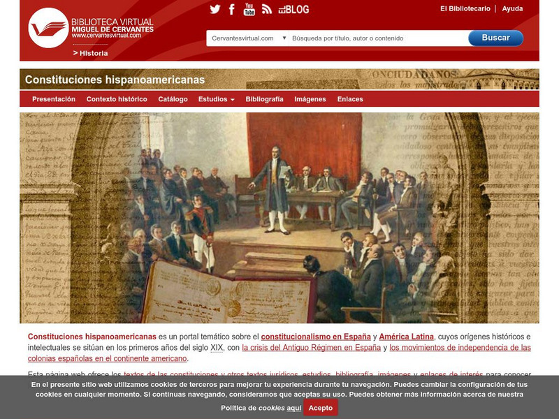
Biblioteca Miguel De Cervantes: Republica Dominicana
This Bibliotica Virtual Miguel de Cervantes site in Spanish for the Dominican Republic provides a wealth of information, including the national flag, a map, holidays, and statistical data on land size, climate, population, life...
Curated OER
University of Texas: Swaziland: Political Map
A political map of Swaziland showing the district boundaries, major cities and highways, and the neighboring countries of this landlocked nation. From the Perry Castaneda Collection.
Curated OER
Educational Technology Clearinghouse: Maps Etc: North America, 1888
A map from 1888 of North America, Central America, and Caribbean showing national boundaries at the time, major cities, mountain systems, rivers, and coastal features. The province boundaries of the Dominion of Canada are shown,...
Curated OER
Educational Technology Clearinghouse: Maps Etc: South America, 1903
A map from 1903 showing the national boundaries of South America at the time (note the boundaries between Peru and Bolivia, and that Columbia, Ecuador, and Panama are shown as one country). The map shows capitals and major cities, towns,...
Curated OER
Educational Technology Clearinghouse: Maps Etc: North America, 1897
A map from 1897 of North America, Central America, and the Caribbean showing national boundaries, major cities, terrain and coastal features, including mountain systems, basins, plains, lakes, and rivers.
Curated OER
Educational Technology Clearinghouse: Maps Etc: North America, 1899
A map from 1899 of North America, Central America, and the Caribbean showing national boundaries, capitals and major cities, terrain, lakes, rivers, and coastal features. The map shows longitude from Greenwich at the top of the map, and...
Curated OER
Educational Technology Clearinghouse: Maps Etc: North America, 1901
A map from 1901 of North America showing national boundaries, terrain features, and general land elevations for the region. The map is color-coded to show highlands over 2000 feet above sea level in buff tints, lowlands in greens, and...
Curated OER
Educational Technology Clearinghouse: Maps Etc: North America, 1902
A map from 1902 of North America showing national boundaries, terrain features, and general land elevations for the region. The map is color-coded to show highlands over 2000 feet above sea level in buff tints, lowlands in greens, and...
Curated OER
Educational Technology Clearinghouse: Maps Etc: South America, 1882
A map from 1882 showing the general highlands and lowlands of South America and the national boundaries at the time. The map is color-coded to show high lands in buff tint and low plains in green. Mountain chains and systems are shown by...
Curated OER
Educational Technology Clearinghouse: Maps Etc: South America, 1906
A map from 1906 showing the general highlands and lowlands of South America and the national boundaries at the time. The map is color-coded to show highlands over 4000 feet above sea level in red tint, above 1000 feet in buff tint, and...
Curated OER
Educational Technology Clearinghouse: Maps Etc: South America, 1902
A map from 1902 of South America showing the national boundaries at the time. The map shows capitals, major cities, ports, railroads, canals, rivers, and coastal features. Railroads appear as red lines, with important trunk lines shown...
Curated OER
Wikipedia: Natl Historic Landmarks in Mn: Charles A. Lindbergh House and Park
The Charles A. Lindbergh House and Park was once the farm of Congressman Charles August Lindbergh and his son Charles Lindbergh, the famous aviator. Their restored 1906 house and two other farm buildings are within the park boundaries....
Curated OER
University of Texas: Jamaica: Political Map
This site has a map of Jamaica. It's a clear, large map showing parish boundaries, roads and railroads.
Biblioteca Virtual Miguel de Cervantes
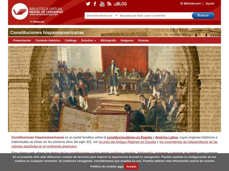
Biblioteca Virtual Miguel De Cervantes: Paraguay
This resource site in Spanish for the country of Paraguay. The flag and a general map of the country are included. Of particular interest is the statistical data available on land size, climate, population, life expectancy, infant...

![United Nations: Cartographic Section: Okavango River Basin [Pdf] Graphic United Nations: Cartographic Section: Okavango River Basin [Pdf] Graphic](http://content.lessonplanet.com/resources/thumbnails/457765/large/bwluav9tywdpy2symdi1mdqyoc04mzc3mdutcdftbgx4lmpwzw.jpg?1745828804)


