Hi, what do you want to do?
History Teacher
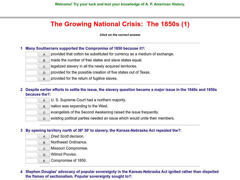
Historyteacher.net: The Growing National Crisis: The 1850s: Quiz (1)
This 12-question multiple choice quiz is immediately scored and covers facts about slavery in the Civil War era.
Other
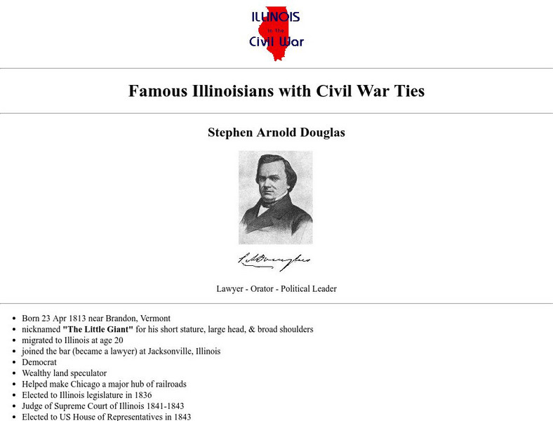
Famous Illinoisians With Civil War Ties: Stephen Douglas
Provides biographical facts about Stephen Arnold Douglas in bulleted list format.
Library of Congress
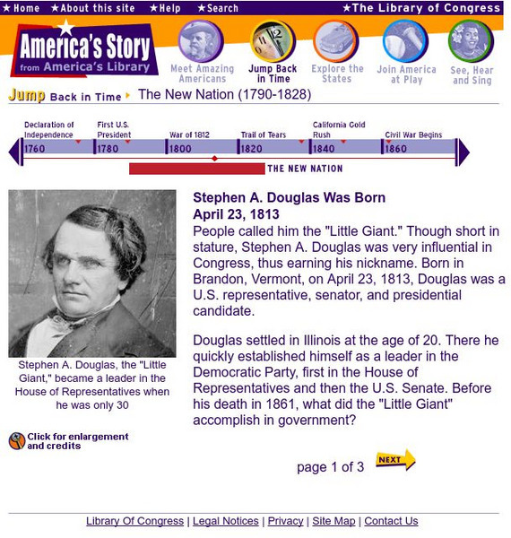
Loc: America's Story: Stephen A. Douglas
Here is some brief information on the "Little Giant", also known as Stephen Douglas, and his senatorial career. The information is divided into three short pages.
Kansas Historical Society
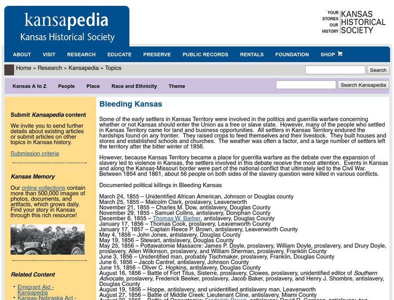
Kansapedia: "Bleeding Kansas"
When Kansas became a state it would change the balance of power, so there was fighting between the pro- and anti-slavery groups. This page offers an explanation of that piece of Kansas history, plus letters from two who supported Kansas'...
Black Past
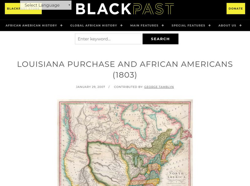
Black Past: Louisiana Purchase and African Americans
In this brief encyclopedia article, you find the effect the Louisiana Purchase had on African-Americans because of the new land added to the United States. There is a link to a website that gives additional information about the...
Curated OER
Etc: Maps Etc: Freedom States and Slavery States, 1854
A map of the United States at the time of the Kansas-Nebraska Act (1854) which allowed settlers to determine whether or not slavery would be allowed in their territories. The map is color-coded to show the Free States (including...
Curated OER
Etc: Maps Etc: Comparative Areas of the United States and Other Countries, 1872
A map from 1872 of the United States used to illustrate the comparative area sizes of the states to other countries in the world. The map shows state and territory boundaries at the time (Dakota, Montana, Washington, Idaho, Wyoming,...
Curated OER
Educational Technology Clearinghouse: Maps Etc: Compromise of 1850, 1850
A map of the United States showing the effects of the Compromise of 1850. The map is keyed to show the free states and slave states, and notes California admitted to the Union as a free state; the Nebraska Territory as free by the...
Curated OER
Educational Technology Clearinghouse: Maps Etc: Party Situations, 1855
A map of the United States showing the results of the 1855 State elections, indicating the political trends regarding the Kansas-Nebraska Act of 1854 and the slavery issue in the admission of Kansas into the Union.
Curated OER
Educational Technology Clearinghouse: Maps Etc: Presidential Election, 1860
A map of the United States showing the results of the presidential election of 1860. The map is color-coded to show the states carried by Lincoln (Republican), Breckinridge (Southern Democrat), Bell (Constitutional Union), and Douglas...
Curated OER
Educational Technology Clearinghouse: Maps Etc: Presidential Election , 1860
A map of the United States showing the results of the presidential election of 1860. The map is color-coded to show the states carried by Lincoln (Republican), Breckinridge (Southern Democrat), Bell (Constitutional Union), and Douglas...
Curated OER
Educational Technology Clearinghouse: Maps Etc: Presidential Election, 1856
A map of the United States during the heated presidential election of 1856, showing the States carried by the Republican Party (John Fremont), Democrat Party (James Buchanan), and the newly formed American Party, or 'Know-Nothing’ Party...
Curated OER
Educational Technology Clearinghouse: Maps Etc: Presidential Election , 1856
A map of the United States during the heated presidential election of 1856, showing the States carried by the Republican Party (John Fremont), Democrat Party (James Buchanan), and the newly formed American Party, or 'Know-Nothing’ Party...
Curated OER
Etc: Maps Etc: United States at the Outbreak of the Civil War, 1861
A map of the United States and territories in 1861 at the outbreak of the Civil War. The map is color-coded to show the Union Free States, the Confederate States seceded before April 15, 1861, the Confederate States seceded after April...
Curated OER
Etc: The Us at the Outbreak of the Civil War, 1860 1861
A map of the United States at the outbreak of the Civil War (1860-1861) showing the States that seceded to form the Confederate States of America. The map also shows the territorial boundaries of the Washington Territory, Dakota...
Curated OER
Educational Technology Clearinghouse: Maps Etc: The United States, 1861
A map of the United States in 1861 after the secession of the Southern States. The map is color-coded to show the Free Union States, Union Slaveholding States, Confederate States, and the territories of Washington, Dakota, Nevada, Utah,...
Curated OER
Etc: Maps Etc: United States Expansion and the Railroads, 1880
A map of the United States and territories showing the expansion from the formation of the original states to 1880, and the railroad network in 1880. The map is color-coded to show the original states, the states admitted between 1791...
Curated OER
Educational Technology Clearinghouse: Clip Art Etc: David Butler
First Governor of Nebraska
Curated OER
Educational Technology Clearinghouse: Clip Art Etc: William Mc Kinley
In the general election of 1896, the principal question at issue was the financial policy of the country. William J. Bryan, of Nebraska, was the candidate of those who 'demanded the free and unlimited coinage of both silver and gold at...
Cayuse Canyon
The Us50
This clickable map of the United States gives students access to research information from history and tourism to attractions and famous historic figures.
Curated OER
Wikipedia: Natl Historic Landmarks in Ne: Captain Meriwether Lewis (Dredge)
An image of the CAPTAIN MERIWETHER LEWIS (Dredge).
Curated OER
Wikipedia: Natl Historic Landmarks in Ne: Homestead Natl Monument of America
The first claim made under the Homestead Act of 1862.
Curated OER
Wikipedia: Natl Historic Landmarks in Ne: Fort Robinson and Red Cloud Agency
Site of an Indian Wars-era U.S. Army post.
ReadWriteThink
Read Write Think: Malcolm X Classroom Activity
An interesting mini-lesson based on the name of Malcolm X in commemoration of his May 19 birthday. Includes web links, lesson plans, and a bibliography. From ReadWriteThink's calendar on May 19, 2007.
Other popular searches
- Kansas Nebraska Act
- Kansas Nebraska Act
- Nebraska History
- Nebraska Constitution
- Military History + Nebraska
- Military History Nebraska
- Governor of Nebraska
- Nebraska Access
- Nebraska School History
- Geography of Nebraska
- All About Nebraska
- Nebraska Government


