Curated OER
Etc: New England Colonies, 1620 1641
A map of the New England Colonies showing the westward expansion of the Pilgrims from Plymouth (1620) to Stamford, Connecticut (1641). The map shows settlements in the area with dates of establishment given, colony boundaries, New...
Curated OER
Etc: New England Colonies, 1620 1638
A map of the New England colonies showing the early permanent Pilgrim settlements and their dates of establishment, including Plymouth (1620), Little Harbor, New Hampshire (1623), Pemaquid, Maine (1625), Salem, Massachusetts (1628),...
Curated OER
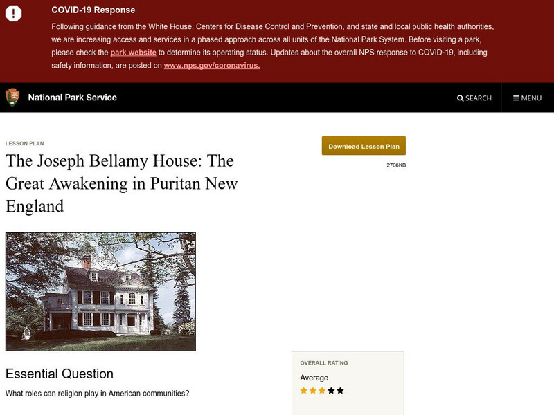
National Park Service: Joseph Bellamy House: The Great Awakening in New England
This site describes the influence of the Reverend Joseph Bellamy and religion in 18th century colonial life. This lesson plan has excellent information, an inquiry question, historical context, maps, readings, images, and activities.
Library of Congress
Loc: Teachers: Geography and Its Impact on Colonial Life
Beginning with a discussion on how people adapt to or relocate to environments, this lesson encourages learners to explore why the Colonists settled in specific regions. In groups, students examine primary documents, analyzing Colonists'...
Syracuse University
Syracuse University: Map of New England, 17th Century
A map that shows the seventeenth-century migration routes of the Puritans from England to New England. Early population centers are designated as well as some interregional migrations.
Curated OER
Educational Technology Clearinghouse: Maps Etc: New England Grants, 1643 1684
A map of the Massachusetts Bay Colony and New England Confederation (1643-1684) showing the grants of the area, and is keyed to show: (1) the Plymouth Colony (1620), (2) Massachusetts, (3) Massachusetts Bay, (4) Maine, (5) New Hampshire,...
PBS
Pbs Learning Media: Explore Colonial Boston
Use this interactive activity to explore colonial Boston and the geographic and human-made features of the Shawmut Peninsula in 1723. Learn how geography has shaped the lives of the people of Boston and see how different Boston's...
Other
Hillcrest: England and Its Colonies [Pdf]
A textbook chapter about England and its relationship to its American colonies. Included are maps and map questions, study help, and assessments.
University of Groningen
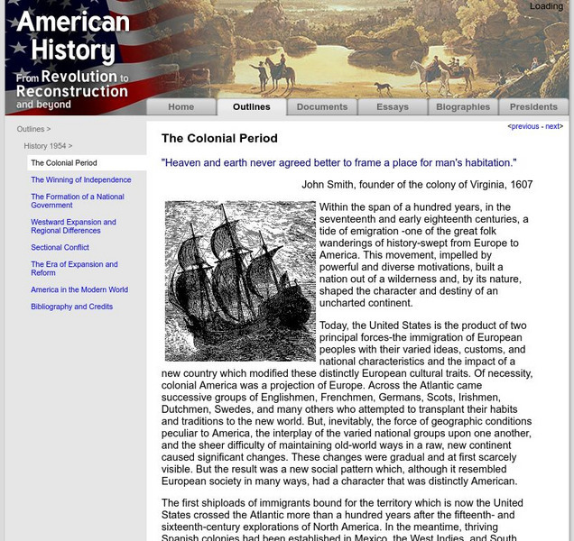
American History: Outlines: The Colonial Period
The early settlers to the New World began to map strategy for their own system of government. This site details that strategy and what kinds of events spawned the idea of representative government.
Other
The Amistad Committee: Yale, Slavery & Abolition
This essay explores Yale University's relationship to slavery. It seeks to answer questions such as why did Yale name most of its colleges after slave owners and pro-slavery leaders? Included is a downloadable PDF, timeline, map of Yale,...
George Mason University
Chnm: Differences Among Colonial Regions
Students will explore the differences among the three colonial regions of New England, Mid-Atlantic/Middle, and the Southern colonies. In small groups for each region, students will observe and note details of pictures, maps, and...
SMART Technologies
Smart: Thirteen Colonies
Students will drag the name of each colony onto the map. Then drag the color coded stars to the New England, Middle, and Southern Colonies. Lastly, they will drag the important events to the colony in which it happened.
Curated OER
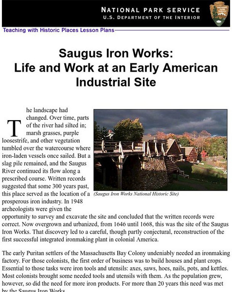
National Park Service: Saugus Iron Works: Life & Work at an Early American Site
Use this site to learn about life and work at an early American industrial site. Understand the need for iron ore for the early Puritans through excellent history info, an inquiry question, maps, images, readings, activities and more....
Other
The Descendants of Henry Doude: Perspectives: The Pequot War
A brief description of the Pequot War, a conflict between the Pequots and the English colonists from the Massachusetts Bay colony. There are two maps showing the location of Indian tribes in 1636 and again in 1639.
Curated OER
Educational Technology Clearinghouse: Maps Etc: North American Colonies, 1643
A map of the North American Colonies in 1643 at the establishment of the New England Confederation. The map is color-coded to show the territorial claims of the British, French, Dutch, and Swedish at the time, and shows the British...
Curated OER
Etc: Atlantic Coast Development, 1650 1695
A series of maps showing the development and colonial claims of the northern Atlantic Coast between 1650 and 1695. The maps are color-coded to show charter colonies, proprietary colonies, and the royal colonies. The map from 1650 shows...
Curated OER
Etc: Claims of Various European Countries to the Us, 1643 1655
A map of the eastern coast of North America showing territorial claims of Europeans and the development of the United Colonies of New England (New England Confederation) in 1643, and the territorial changes between the Dutch and British...
Curated OER
Etc: Reorganization of the Plymouth Company, 1606 1620
A map of eastern North America in 1620 showing the King James Patent of the Plymouth Company to the north and London Company to the south. In 1620, the Plymouth Company was reorganized as the Plymouth Council for New England, or the...


