Hi, what do you want to do?
Curated OER
Social Studies Review for Grade 4 (4.1)
In this social studies review for grade 4 (4.1) worksheet, 4th graders answer 25 multiple choice questions in standardized test format about U.S. history.
Curated OER
Hitting the Roof
Young scholars examine the state of the British housing market. For this current events lesson, students visit selected websites to study Gordon Brown's plan for eco-towns, how to borrow money to buy homes, and what the home prices are...
Curated OER
European Exploration
Sixth graders analyze key European explorers and focus on where and why they explored. They research who sponsored the explorers as well as the accomplishments of the explorers. They discuss the lasting effects of the expeditions in...
Curated OER
The World's Newest Landmark
In this reading comprehension worksheet, students read a 6-paragraph article about the tallest building the world, the Burj Khalifa. Students respond to 6 short answer questions. Vocabulary words and definitions are included.
Curated OER
Water Features of Virginia
Students locate and identify water features important to the early history of Virginia. Thye recognize where most cities developed and locate and label the rivers on a Virginia wall map.
Curated OER
The Trading Post with the Most: Colonial Dorchester's Settlement and Economy
Eighth graders explore the Dorchester settlement, In this American colonial history lesson, 8th graders examine primary resources and maps from the Dorchester trading post in order to learn about its contributions to the...
Curated OER
"Doing History" The Crafting of a Christopher Gadsden Biography
Middle schoolers reflect on the biography of General Gadsden. In this history lesson, students read the biography of General Gadsden then research a specific aspect of the Generals life to complete their own biography pn him.
Other
Wbur: New England's Electric Power Grid Is Undergoing a Transformation
This article discusses New England's developing hybrid power grid, a network that relies on a variety of energy resources, including fuels and alternative energy sources and technologies. The ongoing transformation to renewable energy is...
Curated OER
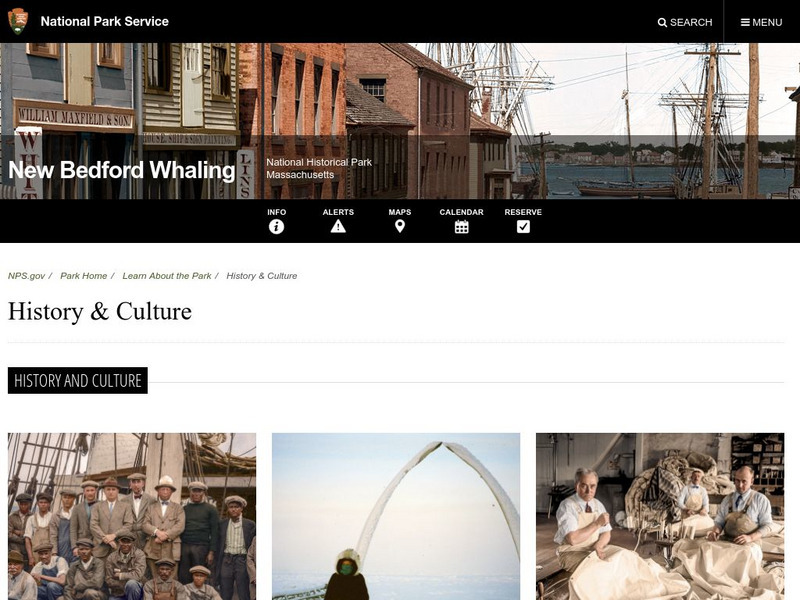
National Park Service: New Bedford Whaling Historical Park: History & Culture
This national park site offers insight into the economic stimulus whaling brought to New England and has left behind a strong history for that region.
Khan Academy
Khan Academy: Puritan New England: Plymouth
An overview of the Puritans who facing religious persecution in England set sail for the New World establishing the colony at Plymouth.
Khan Academy
Khan Academy: Puritan New England: Massachusetts Bay
An overview of the Puritans who established the Massachusetts Bay Colony, the New Haven Colony and Rhode Island. The internal and external struggles with these colonies is discussed including the Salem Witch Trials, King Philip's War,...
George Mason University
Chnm: Differences Among Colonial Regions
Learners will explore the differences among the three colonial regions of New England, Mid-Atlantic/Middle, and the Southern colonies. In small groups for each region, students will observe and note details of pictures, maps, and...
Digital History
Digital History: Regional Contrasts
Read about the populations of the New England colonies as compared to the Southern colonies in the 1600s. See how the numbers of Native Americans decreased dramatically particularly in Massachusetts Bay Colony.
Annenberg Foundation
Annenberg Learner: American Passages: Regional Realism: Mary E. Wilkins Freeman
Mary E. Wilkins Freeman is identified as a realistic author who wrote about women coping with poverty and socially hindered by their strict Calvinist beliefs in New England. See "Mary E. Wilkins Freeman Activities" for related materials.
Curated OER
Etc: The Chief Settlements Made in New England, 1620 1675
A map of the New England region showing the chief early European settlements between 1620-1675. The map shows rivers, terrain and coastal features, the coastal settlements of Pemaquid, Saco, Dover, Portsmouth, Salem, Cambridge,...
Curated OER
Educational Technology Clearinghouse: Maps Etc: New England, 1680
North Atlantic coast of the New England region.
Curated OER
Clip Art by Phillip Martin: New England States
A clipart illustration by Phillip Martin titled "New England States."
Curated OER
Etc: The Revolution in New England States, 1774 1783
A map of America's New England states during the time of the American Revolution, including Maine, New Hampshire (with Vermont), Massachusetts, Rhode Island, Connecticut, and Long Island. The map shows major cities, towns, forts, battle...
University of Groningen
American History: Outlines: Second Generation of British Colonies
The religious and civil conflict in England in the mid-17th century limited immigration, as well as the attention the mother country paid the fledgling American colonies. In part to provide for the defense measures England was...
The History Cat
The History Cat: History of Colonial America: The Thirteen Colonies
Compares life in the three regions of the thirteen British colonies - the New England colonies (Massachusetts, New Hampshire, Rhode Island, and Connecticut), the Middle Colonies (New York, Pennsylvania, Delaware, and New Jersey), and the...
Library of Congress
Loc: Teachers: Geography and Its Impact on Colonial Life
Beginning with a discussion on how people adapt to or relocate to environments, this lesson encourages young scholars to explore why the Colonists settled in specific regions. In groups, students examine primary documents, analyzing...
Independence Hall Association
U.s. History: Social Change and National Development
As the United States grew geographically, along with developing a national identity, there was also an increasing identity with regionalism. Read about the various regions, along with the changes in economics and religion in this period...
Other
Northeastern States Activity
This site gives and teachers and students ideas for research topics about the northeastern states. Topics range from economics to science. The content is geared towards elementary level students.
Curated OER
Early Settlements in New England and Distribution of the Indian Tribes, 1686
A map of the Dominion of New England (1686), showing the early settlements and the general tribal lands of the Pawtuckets, Massachusetts, Wampanoags, Narragansets, Nipmucks, Pequods, and Mohegans. "New England, a collective name given to...


