Hi, what do you want to do?
Annenberg Foundation
Annenberg Learner: United States History Map: 50 States
Read about the regions of the United States, find the states in those regions on maps, and play a game to locate the states. A great interactive review.
Other
America Dept. Of State: Outline of American Literature [Pdf]
This online book presents an overview of American literature chronologically. Eras and movements are explained and biographies of significant authors are provided. This is a good way to understand the background and influences of...
Wikimedia
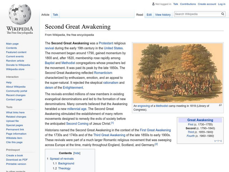
Wikipedia: Second Great Awakening
An overview of the Second Great Awakening discussing the different aspects of the revival in New England, western New York, and in the Appalachian region. The article includes information about the work of Charles Finney, the Latter-Day...
Curated OER
Educational Technology Clearinghouse: Maps Etc: Seat of War, 1812 1814
A map of the Great Lakes and New England region of North America showing the northern area of conflict during the War of 1812, including the important sites of Detroit, Buffalo, Lewiston, Queenstown, Ogdensburg, Battle of the Thames...
McGraw Hill
Mc Graw Hill: Colonial Economy and Patterns of Society
Although tied to pages from a specific text, these AP study questions allow anyone to consider aspects of colonial economics. (Answers to some of the questions are located at the following link:...
Curated OER
Etc: Reorganization of the Plymouth Company, 1606 1620
A map of eastern North America in 1620 showing the King James Patent of the Plymouth Company to the north and London Company to the south. In 1620, the Plymouth Company was reorganized as the Plymouth Council for New England, or the...
Curated OER
Etc: Maps Etc: Relief of the United States, 1904
A relief map from 1904 of the United States showing the mountain systems and highlands, plateaus, plains, lakes, rivers, and coastal features. This map divides the area into the main groups of the St. Lawrence Basin, Allegheny Region,...
Curated OER
Etc: Maps Etc: Forest Map of the United States, 1910
A map from 1910 of the United States showing the forest regions of the Pacific, Rocky Mountains, Northern Forest in the Great Lakes and New England areas, Southern Forest along the Gulf and East Coast, and the Hardwood Forest. The map...
Curated OER
Educational Technology Clearinghouse: Maps Etc: United States, 1906
A map from 1906 of the continental or 'lower forty-eight’ United States showing state boundaries and state capitals, major cities and towns, mountain systems, lakes, rivers, and coastal features. Inset maps show the entire North American...
Other
Oneworld.net
Oneworld.net is an internet based news source providing the latest news from around the world. They represent over 1600 organizations that promote human rights awareness.
Curated OER
Etc: European Colonization in North America, 1500 1700
A map of North America showing the European colonization in the region up to the year 1700. The map is color-coded to show the possessions of the British, French, Spanish, Dutch, Swedish, and Danish. The map shows the territory in...


![America Dept. Of State: Outline of American Literature [Pdf] eBook America Dept. Of State: Outline of American Literature [Pdf] eBook](http://lessonplanet.com/content/resources/thumbnails/410155/large/bwluav9tywdpy2symdiwmduymc0yotc0ny0xzhf5cgiwlmpwzw.jpg?1589985629)


