Library of Congress
Loc: Legacy of French Canadian Immigrants in New England
Designed by American Memory Fellows Linda Hamel and Linda Hedrirck, this site explores the settlements of French Canadians in New England in the late 19th and early 20th centuries. It provides teachers complete lesson plans for 8...
Other
History 341: Colonial America: 1805 Copy of the New England Primer
Clickable index for the full text of the 1805 New England Primer, a textbook that made public education possible in the early United States.
Other
Nebhe: State Tuition Agreements
If you're a resident of Connecticut, Maine, Massachusetts, New Hampshire, Rhode Island, or Vermont, the tuition saving program may save you money. The NEBHE provides a tuition break for students pursuing certain majors at public colleges...
Curated OER
Etc: The Revolution in New England States, 1774 1783
A map of America's New England states during the time of the American Revolution, including Maine, New Hampshire (with Vermont), Massachusetts, Rhode Island, Connecticut, and Long Island. The map shows major cities, towns, forts, battle...
Curated OER
Etc: Maps Etc: Texas and the New England States, 1916
A comparison of sizes between Texas and the New England states.
Curated OER
Clip Art by Phillip Martin: New England States
A clipart illustration by Phillip Martin titled "New England States."
Washington State University
Washington State University: Literary Movements: Salem Witch Trials
A survey of the Salem Witch Trials as well as its background in seventeenth-century colonial New England. Includes descriptions of the accused and analysis of the reasons for the outbreak of witchcraft accusations, a bibliography,...
Annenberg Foundation
Annenberg Learner: United States History Map: 50 States
Read about the regions of the United States, find the states in those regions on maps, and play a game to locate the states. A great interactive review.
Curated OER
Etc: Maps Etc: Northern New England and Canada, 1919
The Northern New England states and part of Canada in 1919, showing roads.
Yale University
Avalon Project: Amendments Proposed by Hartford Convention
This is the text of the constitutional amendments proposed by the Hartford Convention in 1814, trying to get the federal government to give control of militias to the states and recognize other New England interests.
Other
America Dept. Of State: Outline of American Literature [Pdf]
This online book presents an overview of American literature chronologically. Eras and movements are explained and biographies of significant authors are provided. This is a good way to understand the background and influences of...
Independence Hall Association
U.s. History: New England Colonies: Dissent in Massachusetts Bay
The Puritan clergy in Massachusetts Bay colony did not allow religious dissent. Read about the fate of colonists Anne Hutchinson and Roger Williams who believed in religious freedom.
Houghton Mifflin Harcourt
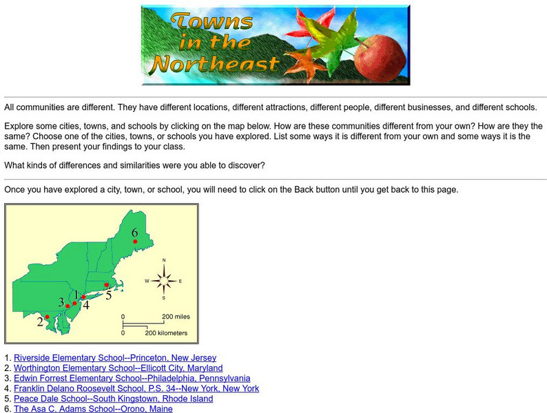
Harcourt: School Publishers: Towns in the Northeast
"All communities are different. They have different locations, different attractions, different people, different businesses, and different schools." This site is about some of the cities in the Northeast section of the United States....
Library of Congress
Loc: America's Story: Massachusetts
The Library of Congress profiles Massachusetts in this fact-filled article about the "Old Colony State."
Curated OER
Etc: Distribution of Votes Ratification of Constitution in New England 1787 1790
A map showing the distribution of votes in the ratification of the Constitution (1787-1790) for the New England States. The map is keyed to show areas where the vote was a Federal majority, where there was an anti-Federal majority, and...
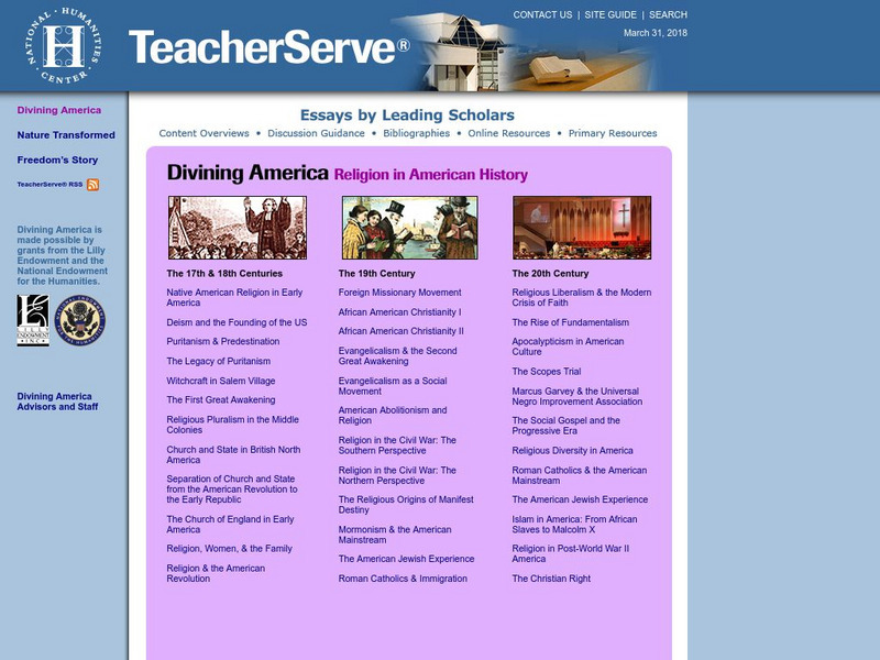
National Humanities Center
National Humanities Center: Teacher Serve: Divining America: Religion in American History
A collection of scholarly essays consisting of instructional guides accompanied by commentary. Designed to help teachers of American history bring students to a greater understanding of the role religion has played in the development of...
University of Florida
Baldwin Library: Their New Home by Annie S. Fenn
This is an online photocopy of the original text of the children's book Their New Home by Annie S. Fenn (1888), a story about a boy's adventures after his family's immigration to the United States from England.
Curated OER
Educational Technology Clearinghouse: Maps Etc: New Hampshire, 1903
A map from 1903 of New Hampshire showing the capital of Concord, counties and county seats, principal cities and towns, railroads, rivers, and mountain ranges. "New Hampshire, one of the New England States of the American Union, lies...
Curated OER
Educational Technology Clearinghouse: Maps Etc: The United States, 1899
A map from 1899 of the United States showing the physical features of the area, including mountain systems and highlands, plateaus, basins, plains, lakes, rivers, and coastal features. This map also shows the six conventional state...
Texas Instruments
Texas Instruments: Numb3 Rs: Different or Not?
Based off of the hit television show NUMB3RS, this lesson has students examine cancer rates in population samples of the New England states to determine if the states' cancer rates are statistically similar. Hypothesis testing is...
Curated OER
Early Settlements in New England and Distribution of the Indian Tribes, 1686
A map of the Dominion of New England (1686), showing the early settlements and the general tribal lands of the Pawtuckets, Massachusetts, Wampanoags, Narragansets, Nipmucks, Pequods, and Mohegans. "New England, a collective name given to...
Curated OER
Educational Technology Clearinghouse: Maps Etc: United States, 1906
A map from 1906 of the continental or 'lower forty-eight’ United States showing state boundaries and state capitals, major cities and towns, mountain systems, lakes, rivers, and coastal features. Inset maps show the entire North American...
Curated OER
Etc: Maps Etc: Relief of the United States, 1904
A relief map from 1904 of the United States showing the mountain systems and highlands, plateaus, plains, lakes, rivers, and coastal features. This map divides the area into the main groups of the St. Lawrence Basin, Allegheny Region,...
Other popular searches
- New England States Geography
- New England States Maps
- Label New England States
- New England States Blank
- The New England States


![America Dept. Of State: Outline of American Literature [Pdf] eBook America Dept. Of State: Outline of American Literature [Pdf] eBook](http://content.lessonplanet.com/resources/thumbnails/410155/large/bwluav9tywdpy2symdiwmduymc0yotc0ny0xzhf5cgiwlmpwzw.jpg?1589985629)


