Curated OER
Vermont History True / False
In this Vermont history worksheet, students read two and a half pages of information about Vermont history. After reading, students complete 10 true or false questions about what they read.
Curated OER
Ecotourism in National Parks and Wilderness
Students develop a plan for ecotourism after researching a nearby national park or wild area.
Curated OER
Non Native Species: English Ivy-Landscape Plant or Deadly Killer?
Young scholars study the impact that invasive species have on biodiversity and more natural areas.
Curated OER
The Formation and Value of Temperate Grasslands
Students get an overview of the climate and organisms of the North American Prairie. After a lecture, and watching some videos imbedded in this plan, students compile research data on the North American Prairie.
Curated OER
Salmon Vs. Dams: the Dam Removal Debate on the Elwha River
Students role-play a meeting of the Elwha River council in which they present opposing views to council members on hydroelectric power and salmon fisheries resources. They brainstorm possible conflicts between various people in land-use...
Curated OER
A Little Rebellion Now and Then Leads to Archival Material
Students examine the American Revolution and the Articles of Confederation. They, in groups, participate in different activities.
Curated OER
Biomechanics of Sports
Learners examine the body's major organ systems and how they function and influence each other. They examine how the human body moves when involved in sports.
Curated OER
Biomechanics of Sports
Students study biomechanics. They apply their understanding of sports to determine what athletes do to improve their performance. They participate in a series of lessons and activities.
Curated OER
Small European Countries
Learners examine the advantages and disadvantages of being a very small European country in today's world. They locate each country on a map using the coordinates, discuss the governments of each country, and develop a list of...
Curated OER
Map Quiz 1
In this map quiz 1 instructional activity, students answer questions relating to geography, not interactively, then scroll down to see the answers.
Curated OER
They Also Flew
Students research the Tuskegee Airmen and the Flygirls of World War II. They write an account of one of the flyers of what they think happened.
Curated OER
States of Fitness
Students participate in physical activities coordinating to divisions on a map.
Curated OER
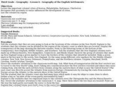
Geography of the English Settlements
Third graders locate several important American colonial cities on a map and research how their proximity to water and nearby arable land affected the rate and success of settlement.
Curated OER
State Report
Students create a state report/ presentation. They research U.S. state information using the Internet and retrieve information about specific topics (Individual States in the USA) using technology resources.
Curated OER
"Trails, Rails, and Roads" Lesson 2: Road Tripping
Students practice map skills and take a virtual road trip through Maine examining the history of transportation. They create questions from the information they learned and play a game against other groups.
Curated OER
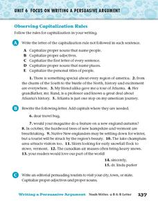
Observing Capitalization Rules
In this capitalization instructional activity, students complete three activities that help them follow the rules for capitalization in their writing.
Curated OER
Educational Technology Clearinghouse: Maps Etc: The White Mountains Region, 1919
A road map of the White Mountains region of New Hampshire in the vicinity of Marlewood from the Official Automobile Blue Book (1919), showing county lines, principal cities and towns, rivers, and is keyed to show the best auto routes,...
The History Cat
The History Cat: History of Colonial America: The Thirteen Colonies
Compares life in the three regions of the thirteen British colonies - the New England colonies (Massachusetts, New Hampshire, Rhode Island, and Connecticut), the Middle Colonies (New York, Pennsylvania, Delaware, and New Jersey), and the...
A&E Television
History.com: The States
Learn unique facts about each American state. You can also read a more in-depth history of each state, watch videos and play a game about all the states.
Curated OER
Etc: The Revolution in New England States, 1774 1783
A map of America's New England states during the time of the American Revolution, including Maine, New Hampshire (with Vermont), Massachusetts, Rhode Island, Connecticut, and Long Island. The map shows major cities, towns, forts, battle...
US Department of Agriculture
White Mountain National Forest
Find current information about visiting the White Mountains at this resource. Be sure to click on Environmental Assessments for more clinical information and Notes from a Naturalist for general information about the mountain environment.
Curated OER
Educational Technology Clearinghouse: Maps Etc: White Mountains, 1922
A map from 1922 of the White Mountains region in New Hampshire, showing county lines, principal towns, mountains, and rivers.
Curated OER
Educational Technology Clearinghouse: Maps Etc: The White Mountains, 1919
A road map of the White Mountains region of New Hampshire from the Official Automobile Blue Book (1919), showing county lines, principal cities and towns, rivers, and is keyed to show the best auto routes, other auto routes, unreported...
PBS
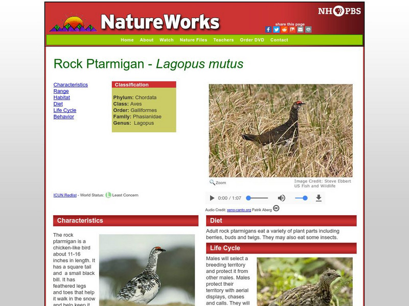
Nh Pbs: Nature Works: Rock Ptarmigan
Discover how the Rock Ptarmigan lives in the Tundra when you check out this site. This resource features photographs, information on characteristics, life cycle and more.


