Curated OER
Etc: Maps Etc: Southern Portion of New York City, 1903
A map from 1903 of the southern portion of New York City showing streets, rivers, parks, railroads, elevated railroads, Broadway cable road, and horse cars. Some features indicated on the map are Madison Square Garden, Bellevue Hospital,...
Curated OER
Educational Technology Clearinghouse: Maps Etc: New York City and Vicinity, 1891
A map from 1891 of New York City and vicinity, showing roads, railroads, and physical features.
Curated OER
Educational Technology Clearinghouse: Maps Etc: New York City, 1730
A map of the city of New York in 1730, with present-day features given in dashed lines for reference.
Library of Congress
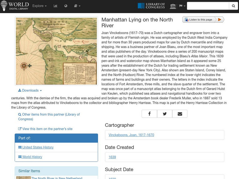
World Digital Library: Manhattan Lying on the North River
A historic map of Manhattan created by cartographer Joan Vinckeboons around 1639 for the Dutch West India Company. A feature on the page allows the visitor to listen to and read the accompanying descriptive text in seven different...
Metropolitan Museum of Art
Metropolitan Museum of Art: Roy Lichtenstein on the Roof
A web exhibit focused on Lichtenstein's sculptures on the roof of the Metropolitan Museum in New York City. Features images of large bronze and aluminum sculptures.
Curated OER
New York State Flag
Features excellent information regarding New York history, famous people, cities, geography, state parks, tourism, and historic sites. A fact sheet of information and a quiz are also available.
Curated OER
Etc: The Revolution in New England States, 1774 1783
A map of America's New England states during the time of the American Revolution, including Maine, New Hampshire (with Vermont), Massachusetts, Rhode Island, Connecticut, and Long Island. The map shows major cities, towns, forts, battle...
Other
History View: World Trade Center September 11
The original World Trade Center was a large complex of seven buildings in Lower Manhattan, New York City, United States. It featured the landmark Twin Towers, which opened on April 4, 1973, and were destroyed in 2001 during the September...
Curated OER
Gregory Corso, Larry Rivers and Jack Kerouac in New York City, 1959
The legend and the reality of the way Jack Kerouac wrote "On the Road," and eventually "Went to bed obscure and woke up famous." Pictures, video, and audio add to this interesting page.
Curated OER
Wikipedia: Featured Image: The Dakota, 1890
The Dakota, one of the earliest apartment buildings on Central Park West in New York City
Curated OER
Wikipedia: Featured Image: Woolworth Building
View of Woolworth Building and surrounding buildings, New York City.
Curated OER
Educational Technology Clearinghouse: Maps Etc: New Amsterdam, 1650
A map of the city of New Amsterdam in 1650, with present-day features given in dashed lines for reference.
Curated OER
Etc: Maps Etc: Mexico, Central America and the West Indies, 1852
A map from 1852 of Mexico, Central America, and the West Indies. The map shows territorial boundaries at the time, including the Mexican States, capitals and major cities and ports, railroads, rivers, lakes, mountain systems, and terrain...
Curated OER
Etc: American Revolution in the the Middle States, 1774 1783
A map of America's middle states during the time of the American Revolution, including New York, Pennsylvania, New Jersey, Delaware, Maryland, and part of Virginia and North Carolina. The map shows major cities, towns, forts, battle...
Curated OER
Etc: American Rev War Campaigns in the North, 1775 1783
A map of the region involved in major northern campaigns of the American Revolutionary War. The map shows cities, towns, and forts, rivers and terrain features, and is keyed to show British and American routes during the campaigns. An...
Curated OER
Educational Technology Clearinghouse: Maps Etc: North America, 1885
A map from 1885 of North America, Central America, Greenland, and the Caribbean showing political boundaries at the time, major cities, mountain systems, lakes, rivers, and coastal features of the region. Ship routes from San Francisco...


