World Atlas
World Atlas: North America
Features maps and a description of the geography and history of North America with links to information on its countries, famous people, flags, symbols, and much more.
Other
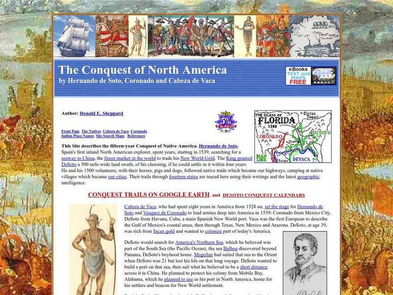
The Conquest of North America by Hernando De Soto, Coronado and Cabeza De Vaca
Describes the conquest of North America in the 1500s by the explorers Hernando de Soto, Vasquez de Coronado, and Cabeza de Vaca. The text has many embedded links to maps showing the routes they traveled as well as to additional information.
Library of Congress
World Digital Library: Map of Atlantic Coast: Chesapeake Bay to Florida
A historic map of the Atlantic coast of America created by cartographer Joan Vinckeboons around 1639 for the Dutch West India Company. A feature on the page allows the visitor to listen to and read the accompanying descriptive text in...
Smithsonian Institution
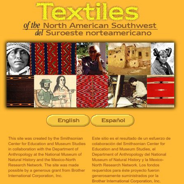
Smithsonian: Textiles of the North American Southwest
This site explores the weaving traditions of the Native American and Hispanic peoples of northern Mexico and the southwestern United States. A gallery of artifacts, timeline, map glossary, and textual descriptions are included. This is a...
National Humanities Center
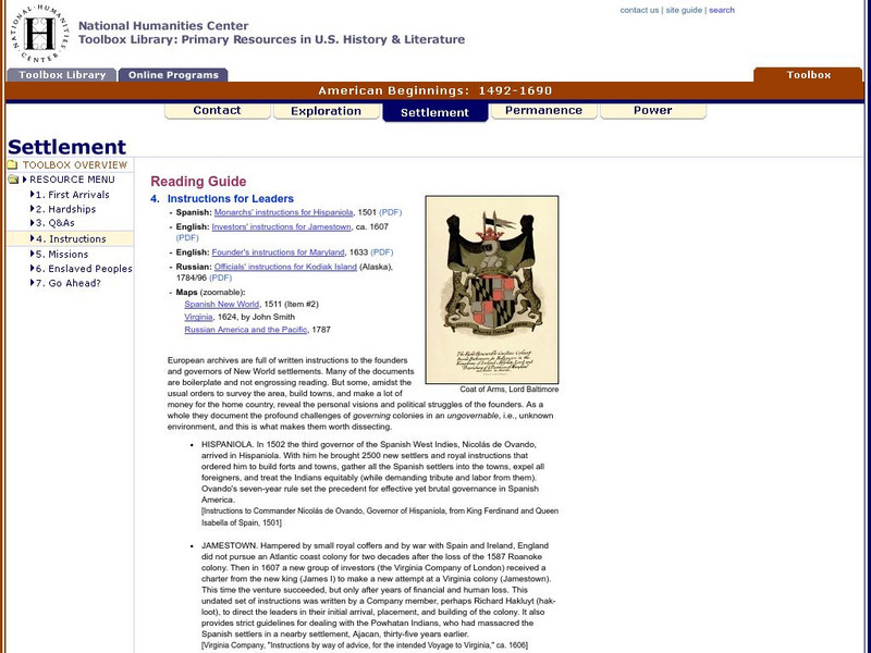
National Humanities Center: Toolbox Library: Instructions, American Beginnings: 1492 1690
Three maps of European settlement in Virginia, the Pacific Northwest, and the Spanish New World, and the accompanying official instructions from lenders and monarchs about the obligations, opportunities, and hopes that those...
Other
Exploring the Past: An Archeological Journey
Through an overview of past archeological expeditions, the author recounts the "Land Bridge" theory and delves into the life of the first inhabitants of North America.
Smithsonian Institution
National Museum of Natural History: American Mammals: Hooded Skunk
The Smithsonian National Museum of Natural History, in a section titled "North American Mammals," offers a general overview of the hooded skunk. Content includes detailed drawings, photographs, specimens, and a map showing the skunk's...
State Library of North Carolina
N Cpedia: Dismal Swamp Canal
Dismal Swamp Canal, believed to be the oldest existing excavated waterway in America, runs generally north and south for 22 miles between Deep Creek, Va., and South Mills, N.C. The canal connects the Elizabeth and Pasquotank Rivers,...
Other popular searches
- Map of North America
- North America Map Outline
- North America Map Reading
- North America Map Features
- North America Map 1750
- Ecosystems North America Map
- Physical Map North America
- North America Map Worksheets
- North America Map Outline%2
- Maps North America Migration
- North America Map Outline\%2
- Map Colonial North America


