Curated OER
Educational Technology Clearinghouse: Maps Etc: North America, 1920
A map from 1920 of North America showing territory borders, capitals, state capitals, major cities and ports, railways, submarine cable routes, mountain systems, lakes, rivers, and coastal features. An inset map details the Caribbean...
Curated OER
Educational Technology Clearinghouse: Maps Etc: North America, 1910
A map from 1910 of North America showing the Dominion of Canada, Greenland, the United States, Mexico, Guatemala, British Honduras (Belize), San Salvador (El Salvador), Honduras, Nicaragua, Costa Rica, Panama, and the islands of the...
Curated OER
Etc: Maps Etc: A Complete Map of North America, 1915
A map from 1915 of North America showing average temperatures for the month of July, given in degrees Fahrenheit.
Curated OER
Etc: Maps Etc: A Complete Map of North America, 1915
A map from 1915 of North America showing average temperatures for the month of January, given in degrees Fahrenheit.
Curated OER
Etc: Maps Etc: Orographic Chart of North America, 1891
An orographic map from 1891 of North America showing the principal mountain systems, rivers, and terrain features of the region. The map is coded to show high lands and mountain regions, and shaded regions of plains, with dark lines...
Curated OER
Educational Technology Clearinghouse: Maps Etc: North America, 1909
North America, with Central America included.
Curated OER
Etc: Maps Etc: Molineaux Map of North America, 1600
Shows locations of interest in North America.
Curated OER
Educational Technology Clearinghouse: Maps Etc: North America, 1914 1919
North America in 1919.
Curated OER
Educational Technology Clearinghouse: Maps Etc: North America, 1915
Political boundaries throughout North America.
Curated OER
Etc: Maps Etc: Production of Copper, Lead, and Zinc in North America, 1913
"Production and consumption of copper, lead, and zinc in North America in 1913.
Curated OER
Etc: Maps Etc: Production of Petroleum and Natural Gas in North America, 1913
"Production of Petroleum and Natural Gas in North America in 1913.
Curated OER
Maps Etc: Production of Phosphate, Pyrite, and Sulphur in North America, 1913
"Production of phosphate, pyrite, and sulphur in North America in 1913.
Curated OER
Production of Mercury, Tin, Antimony, Arsenic & Bauxite in North America, 1913
"Production of mercury, tin, antimony, arsenic, and bauxite (aluminum ore) in North America in 1913.
Curated OER
Merriam Webster: Visual Dictionary Online: North America
Labeled map of the major geographical features of North America.
Curated OER
Etc: Maps Etc: Terminal Moraine Region of North America, Second Glacial Epoch
A map from 1882 of the drift bearing area in the northern United States and Canada, showing the generalized directions of glacial movement, the direction of glacial striae, and the locations of prominent terminal moraines.
University of Georgia
University of Georgia: The United States of North America in 1796
A large map from 1796 of the U.S. States and Territories at the time.
Geographic
Map of Canada
Basic map of Canada. Includes major cities, coastlines, major lakes and rivers, and bays.
Smithsonian Institution
National Museum of Natural History: The Hall of Arctic People
This is the online version of the Smithsonian Institute's exhibit devoted to the people of the Siberian and North American Arctic. The mannequins around the walls represent the peoples of the Crossroads region, dressed in traditional...
National Geographic Kids
National Geographic Kids: Animals: River Otter
This multimedia article reveals the natural history of otters. The facts, maps, and video and audio clips are perfect resources for research.
The Newberry Library
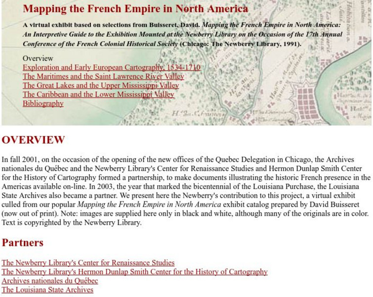
Newberry Library: Library Exhibit: Mapping the French Empire in North America
A virtual exhibit containing documents illustrating the historic French presence in the Americas.
Curated OER
Carver, Jonathan 1781, New Map of North America
"The David Rumsey Historical Map Collection focuses on rare 18th and 19th century North and South America cartographic history materials. Historic maps of the World, Europe, Asia and Africa are also represented. The collection categories...
Curated OER
Etc: America at the Time of the Revolution, 1764 1789
A map of eastern North America showing "America at the time of the revolution." - Foster, 1921. This map shows the major divisions and boundaries of the revolutionary time period, including the Spanish Territory west of the Mississippi,...
Curated OER
Etc: Maps Etc: Conifers in Canada and Eastern United States, 1911
A map from 1911 of North America showing the distribution patterns of the dominant conifers in Canada and eastern United States to Alaska. The species shown are Picea mariana (Black Spruce), Larix laricina (Tamarack), Pinus divaricata...
Other popular searches
- Map of North America
- North America Map Outline
- North America Map Reading
- North America Map Features
- North America Map 1750
- Ecosystems North America Map
- Physical Map North America
- North America Map Worksheets
- North America Map Outline%2
- Maps North America Migration
- North America Map Outline\%2
- Map Colonial North America


