Curated OER
Etc: Maps Etc: British Colonies After the French and Indian War, 1764
A map of the eastern portion of North America showing the British, Spanish, and Indian territories after the French and Indian War (1754-1763), with the proclamation line as established by the Treaty of Paris (1763). "The newly acquired...
Curated OER
Etc: Maps Etc: Economic Activity in United States and Canada, 1915
Principal crops throughout North America.
Curated OER
Etc: Maps Etc: Roads Routes Along the Canada and New York Border, 1920
A map from the 1920 Automobile Club of Rochester showing automobile routes of New York around Lake Champlain and the southern portions of Canada from Kingston on Lake Ontario to Ottawa and Montreal to the north. The map shows route...
National Humanities Center
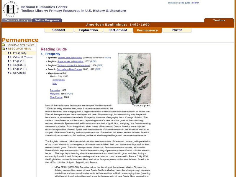
National Humanities Center: Toolbox Library: Prosperity, American Beginnings: 1492 1690
Four original source accounts, and four related maps, of successful English, French, and Spanish settlements in North America and the Caribbean that explain the qualities of these settlements and their reasons for permanence and prosperity.
National Humanities Center
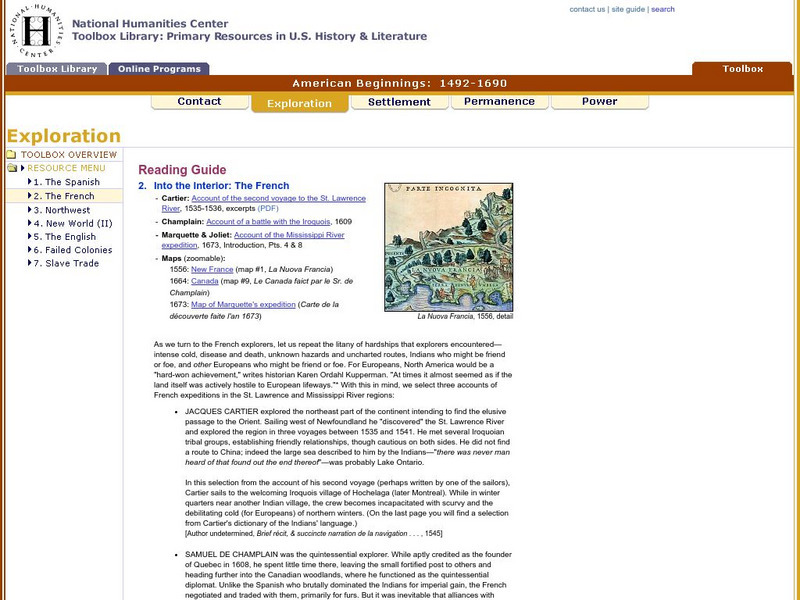
National Humanities Center: Toolbox Library: The French, American Beginnings: 1492 1690
Three maps reflecting French exploration along rivers in North America and three French explorers' accounts of the astonishing hardships they endured and the possibilities for trade with natives they opened.
National Humanities Center
National Humanities Center: Toolbox Library: Rivalry Iii, American Beginnings: 1492 1690
Two maps of English and French rivalries in North America, and two side-by-side accounts of the English and French perspectives on King William's war over power, trade, and economic dominance of the continent.
National Humanities Center
National Humanities Center: Toolbox Library: The Spanish, American Beginnings: 1492 1690
Two maps and four accounts of the Spanish exploration of North America that reflect the goals of the conquistadors and fascination with the land they examined-and the brutality of their treatment of native peoples.
National Humanities Center
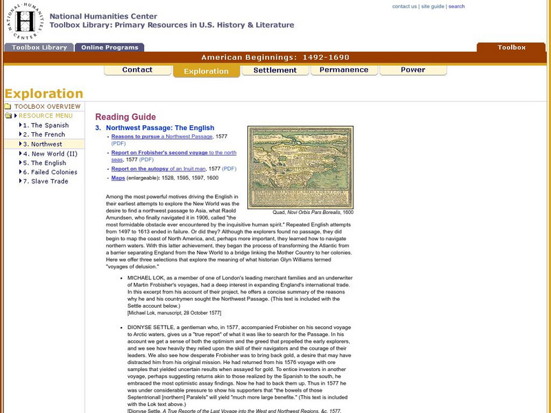
National Humanities Center: Toolbox Library: Northwest Passage, American Beginnings: 1492 1690
Four maps examining the hunt for a Northwest Passage and three English accounts detailing the curiosity, greed and optimism that fueled English exploration of North America.
Other
Bryan Strome : First Nations Seeker
An alphabetical listing and detailed map showing the location of the lands of the aboriginal tribes and linguistic groups found in North America.
Kidport
Kidport: United States of America Geography
This site contains a fun way to learn about the states within the United States. Click on the state that you want to learn more about and it provides facts, geographic landmarks, points of interest, major industries, a quiz and more.
Other
Vox: 37 Maps That Explain the American Civil War
April 1865 was a momentous month in American history. On April 9, the Confederate army under Robert E. Lee surrendered to the Union forces of Ulysses S. Grant, effectively ending the Civil War. Then on April 14, the victorious President...
Curated OER
Etc: Maps Etc: Mexico and Western North America, 1845
A map of Mexico in 1845, prior to the ceding of the northern territories to the United States in 1846. The map shows the territories of Oregon, Texas, and Central America under Mexican control, and the frontiers of the Missouri and...
Curated OER
Etc: Maps Etc: The Lake Region of North America, 1911
A map from 1911 showing the lake region of the Laurentian Plateau and adjacent areas, primarily north of the International boundary in the region known as the Canadian Shield. Only the principal lakes are shown. As indicated in the text,...
Curated OER
Kstrom: North America Native Pre Contact Housing Map
If you are researching the different kinds of housing of early native peoples, this site supplies an excellent colorcoded map. Detailed text and graphic drawings are included.
Smithsonian Institution
National Museum of Natural History: American Mammals: Hog Nosed Skunk
The Smithsonian Museum of Natural History, in a section titled "North American Mammals," offers a general overview of the North American hog-nosed skunk. Additional content includes detailed drawings, photographs, and a map showing the...
Other
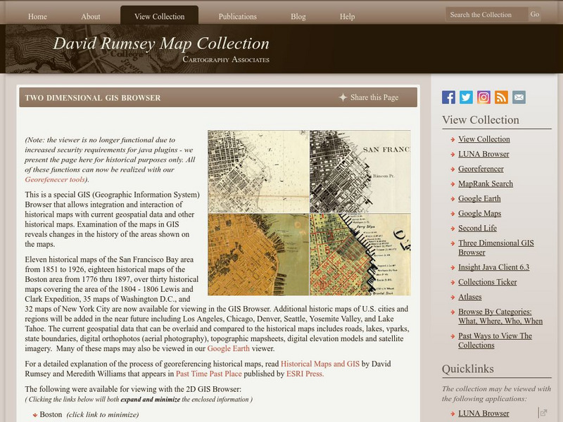
David Rumsey Historical Map Collection
The collection of more than 150,000 maps focuses on rare 18th and 19th-century maps of North and South America, although it also has maps of the World, Asia, Africa, Europe, and Oceania. The collection includes atlases, wall maps,...
Enchanted Learning
Enchanted Learning: Geography
At this site from Enchanted Learning, you can take a quiz, printout a map of the United States of America, and see where the Middle East is located in the world. Links are also provided for additional information.
Smithsonian Institution
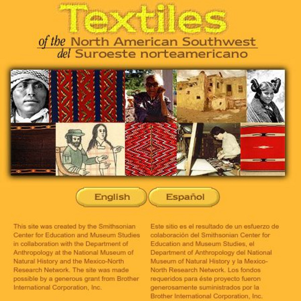
Smithsonian: Textiles of the North American Southwest
This site explores the weaving traditions of the Native American and Hispanic peoples of northern Mexico and the southwestern United States. A gallery of artifacts, timeline, map glossary, and textual descriptions are included. This is a...
Gabriel Dumont Institute
The Hudson's Bay Company Trading System [Pdf]
A 42 page learning module presenting a detailed history of the Hudson's Bay Company and the development of their fur trading routes. This document, published in PDF format, contains maps of the trading system, historical timelines and...
Curated OER
Etc: Maps Etc: French Posts and Forts in Louisiana and New France, 1754
A map of North America showing the French posts and forts at the beginning of the French and Indian War (1754) between the French and the British. The map is color-coded to show the territorial claims of the British, French, and Spanish...
Curated OER
Etc: Maps Etc: The United States and Neighbors, 1898
A map from 1898 of North America, Central America, Greenland, and the Caribbean to Puerto Rico, subtitled "The United States and its Neighbors in North America." The map is color-coded to show the possessions of Greenland (to Denmark),...
Curated OER
Educational Technology Clearinghouse: Maps Etc: Norse America, 861 1285
A facsimile of a map from the works of Carl Christian Rafn (1837) showing Iceland, Greenland, and the eastern portion of North America. The map shows the probable areas of pre-Columbian migration and exploration of the Norse from Iceland...
Curated OER
Etc: Maps Etc: North American Vegetation Regions, 1901
A map from 1901 of North America, Central America, Greenland, and the Caribbean to Puerto Rico showing the general vegetation regions. The map shows areas of deserts, tundras, and ice fields, areas of grassy lands, areas of open forests,...
Curated OER
Etc: Maps Etc: North American Population Density, 1910
A map from 1910 of North America, Central America, Greenland and the Caribbean showing population density distribution in the region at the time. The map is coded to show areas of population densities ranging from less than 1 inhabitant...
Other popular searches
- Map of North America
- North America Map Outline
- North America Map Reading
- North America Map Features
- North America Map 1750
- Ecosystems North America Map
- Physical Map North America
- North America Map Worksheets
- North America Map Outline%2
- Maps North America Migration
- North America Map Outline\%2
- Map Colonial North America

