Curated OER
Etc: Maps Etc: The American Indian Nations, 1776
An early map of the southeastern North America around 1776, showing the American Indian Nations of the region at the time. The map shows colonial boundaries extending from the Atlantic coast to the Mississippi River, towns, forts, and...
Curated OER
Etc: Maps Etc: Land Claims of the Colonies, 1783
A map of eastern North America showing the land claims of the thirteen original states in 1783, from the Atlantic coast west to the Mississippi River. The map notes that New York claimed all the lands west of the Alleghany mountains....
Curated OER
Etc: Maps Etc: French Explorations and Forts, 1600s
A map of North America showing the routes of early French exploration of the Mississippi Valley from the Great Lakes to the Gulf of Mexico in the 1600's. The map shows the routes of Father Jacques Marquette (with Louis Jolliet) and...
Curated OER
Etc: Maps Etc: The Location of the Eastern Indian Tribes, 1600s
A map from 1911 of eastern North America showing the general areas of early contact between the Native Americans and European settlers. The map is divided by groups (Algonquians, Iroquoians, Siouans, and Muskhogeans) and the principal...
Curated OER
Etc: Maps Etc: The Western Frontier and Pontiac's Rebellion, 1763
A map of eastern North America and the Northwest Territory in 1763 during Pontiac's Rebellion at the end of the French and Indian Wars. The map shows the general tribal lands east of the Mississippi River of the Ottawa, Potawatomi,...
Curated OER
Educational Technology Clearinghouse: Maps Etc: Virginia, 1577
A facsimile of an early map (1651) showing the discoveries of Sir Francis Drake in North America, including the coastline of Ould Virginia and Maryland, the Bay of Checepiake (Chesapeake Bay), Lord Delaware Bay, Cape Hatteras and Cape...
Curated OER
Etc: Maps Etc: Land Claims of the Thirteen Original States, 1783
A map of eastern North America showing the land claims of the original thirteen states after the American Revolutionary War, from the Atlantic coast to the Mississippi River, as well as the boundaries of the British and Spanish...
Curated OER
Perry Castaneda Map Collection: Map of Early Indian Tribes in the Western u.s.
Map showing the Native American culture areas and the tribes within those cultures in western North America. From the Perry Castaneda collection.
Curated OER
Educational Technology Clearinghouse: Maps Etc: Newfoundland, 1903
A map from 1903 of the Canadian province of Newfoundland, showing cities, towns and ports, railways, lakes, rivers, and coastal features, as well as the coastal districts of White Bay, Bonne Bay, Bay of Exploits, Bonavista Bay, St....
Curated OER
Etc: Maps Etc: Westward March of the Great Pioneers and Explorers, 1911
A map of the United States showing the historic sea and land routes taken by famous explorers across North America, from the coastal explorations of Cabot and Corte Real in the Northeast, Ponce de Leon and Alvarez in Florida and the Gulf...
Other
The Woodland/ Algonquian Tribes Before 1500 (Map)
A Map of the geographic regions of the various Native American tribes in northeastern North America.
National Humanities Center
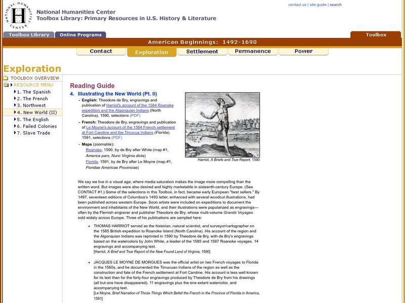
National Humanities Center: Toolbox Library: New World: Part Ii, American Beginnings: 1492 1690
Two European maps of Florida and Roanoke, and a British and a French account-with associated engravings of these settlements-that promote a European interpretation of and claim over these areas.
National Humanities Center
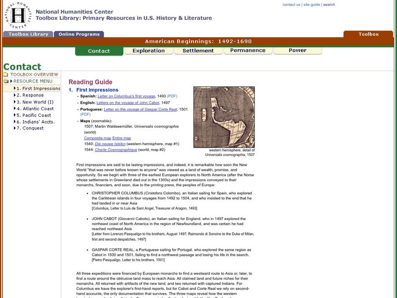
National Humanities Center: Toolbox Library: Contact: First Impressions
English, Spanish, and Portuguese maps and letters of about the voyages of Christopher Columbus, John Cabot, and Portuguese explorer, Gaspar Corte Real, which describe impressions of the lands explored.
National Humanities Center
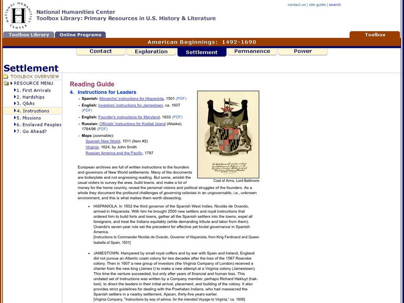
National Humanities Center: Toolbox Library: Instructions, American Beginnings: 1492 1690
Three maps of European settlement in Virginia, the Pacific Northwest, and the Spanish New World, and the accompanying official instructions from lenders and monarchs about the obligations, opportunities, and hopes that those...
National Humanities Center
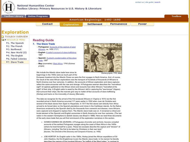
National Humanities Center: Toolbox Library: Slave Trade, American Beginnings: 1492 1690
A West African map and three accounts of the development of slave acquisition display the process and the brutality of the Atlantic slave trade.
National Humanities Center
National Humanities Center: Toolbox Library: Pacific Coast, American Beginnings: 1492 1690
Primary resources for U.S. history and literature offer two excerpts from the explorations of the Pacific coast by Sir Francis Drake and Vitus Bering as well as maps drawn to reflect those journeys. Includes questions for discussion.
National Humanities Center
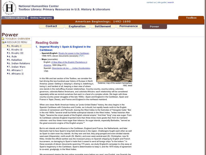
National Humanities Center: Toolbox Library: Rivalry I, American Beginnings: 1492 1690
Eleven documents and two maps detailing the almost two hundred year struggle between England and Spain for hegemony in the Caribbean.
National Humanities Center
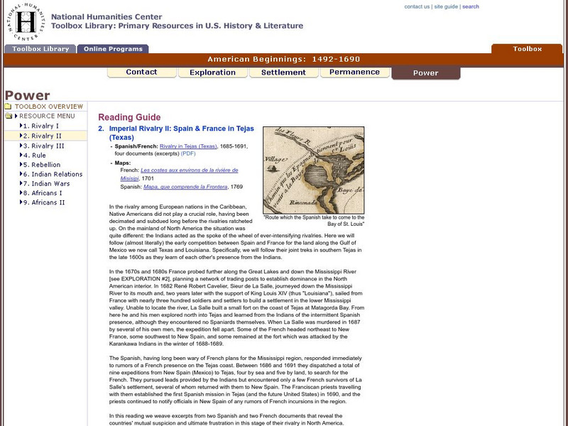
National Humanities Center: Toolbox Library: Rivalry Ii, American Beginnings: 1492 1690
Two eighteenth-century maps and four accounts of the mutual perceptions, suspicions, and observations between Spanish and French explorers on the Gulf Coast.
Curated OER
Etc: Maps Etc: Mexico, Central America, and the West Indies, 1898
A map from 1898 of Mexico, Central America and the West Indies. The map includes an inset map of Cuba and the Isthmus of Nicaragua. "The surface of the Rocky Mountain highland in Mexico is quite similar to that of the great plateau...
Curated OER
Etc: Maps Etc: Mexico, Central America and the West Indies, 1852
A map from 1852 of Mexico, Central America, and the West Indies. The map shows territorial boundaries at the time, including the Mexican States, capitals and major cities and ports, railroads, rivers, lakes, mountain systems, and terrain...
Curated OER
Etc: Maps Etc: West Indies and Central America, 1872
A map from 1872 of the West Indies and Central America. The map shows political boundaries at the time, capitals, major cities, and ports, railroads, main steamship routes, rivers, terrain and coastal features, and banks. The map shows...
Curated OER
Etc: Maps Etc: Mexico, Central America, and the West Indies, 1906
A map from 1906 of Mexico, Central America, and the West Indies showing the political boundaries at the time, capitals and major cities, mountain systems, coastal features, and islands of the region. An inset map shows the entire North...
Curated OER
Educational Technology Clearinghouse: Maps Etc: Mexico and Central America, 1910
A map from 1910 of Mexico and Central America showing political boundaries at the time, capitals and major cities, rivers, terrain and coastal features, reefs, and neighboring islands (Cuba and Jamaica). A map note shows the Panama Canal...
Curated OER
Etc: Maps Etc: Mexico, Central America, West Indies, 1882
A map from 1882 of Mexico, Central America, and the West Indies showing the political boundaries at the time, capitals and major cities, mountain systems, coastal features, and islands of the region. The map is color-coded to show the...
Other popular searches
- Map of North America
- North America Map Outline
- North America Map Reading
- North America Map Features
- North America Map 1750
- Ecosystems North America Map
- Physical Map North America
- North America Map Worksheets
- North America Map Outline%2
- Maps North America Migration
- North America Map Outline\%2
- Map Colonial North America

