Northwestern University
American Memory: Edward S. Curtis's North American Indian: Photographic Images
Find Native American tribes grouped by geographic location as well as relevant information and pictures.
Other
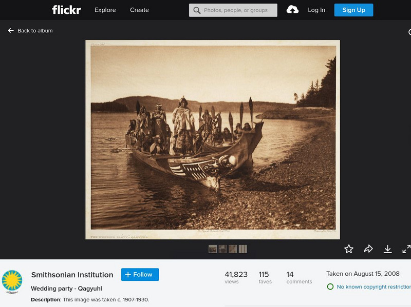
Smithsonian Institution: North American Indian Photography of Edward Curtis
A collection of 22 historical photographs showing Native Americans taken by renowned photographer Edward Curtis. The images show how Native Americans lived and dressed in scenes such as a wedding party, a ritual dance, gathering food, etc.
Metropolitan Museum of Art
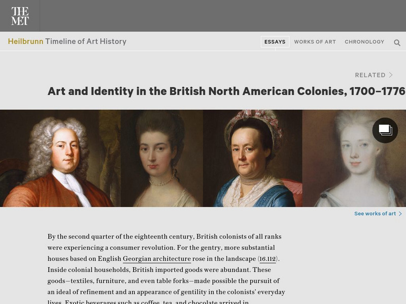
Metropolitan Museum of Art: Art and Identity in British North American Colonies
Consider the English identity of American colonists by examining the sorts of imported goods and decorative arts Americans chose to purchase and display.
Museum of Fine Arts, Boston
Museum of Fine Arts, Boston: Native North American Art
The MFA's collection of Native American art traces its origins to the 1870s, when the Museum opened to the public. Includes Navajo weavings, Zuni Pueblo pottery, and Plains beadwork. Click on 'View All Works' to access the collection.
The British Museum
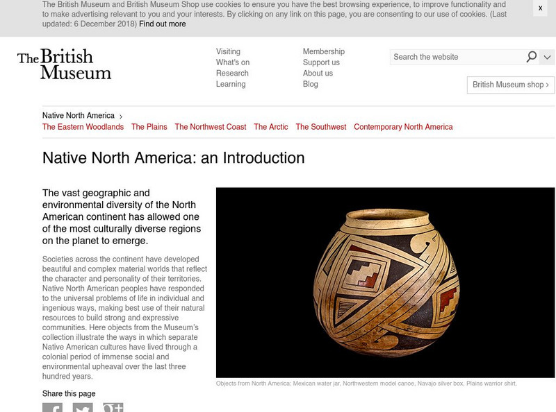
British Museum: Explore World Cultures: Native North America
Learn about the art of native North Americans in this overview descriptions with accompanying image gallery with a detailed description of each piece.
Smithsonian Institution
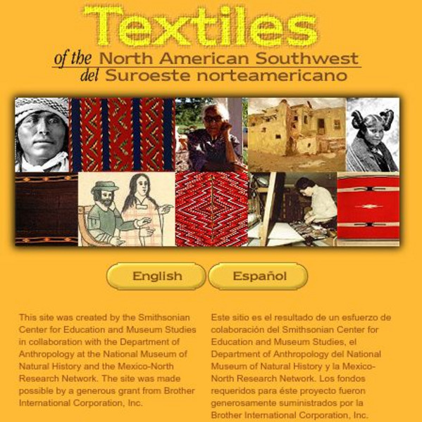
Smithsonian: Textiles of the North American Southwest
This site explores the weaving traditions of the Native American and Hispanic peoples of northern Mexico and the southwestern United States. A gallery of artifacts, timeline, map glossary, and textual descriptions are included. This is a...
Smithsonian Institution
National Museum of Natural History: North American Mammals
This concise site contains photos of North American mammals along with a map showing where they currently can be found. Includes links to other mammal sites.
The British Museum
British Museum: Explore World Cultures: Arctic Peoples of North America
Learn about the art of the native Americans of the Arctic region in this overview of their art with a selection of relevant objects each with it's own detailed object description.
Missouri Botanical Garden
Missouri Botanical Garden: World's Largest Deserts and North American Deserts
Information about the sizes of the world's largest deserts and about the deserts of North America.
Library of Congress
Loc: American Revolution and Its Era: Maps & Charts
A few maps and some good text on the topography and its importance during both the American Revolution and the French and Indian War.
The Atlantic Monthly Group
In Focus: World War Ii: North African Campaign
Photograhs of the British, Australian, and American forces fighting against the Germans and Italians in the North African Campaign in an attempt to force the Axis troops from North Africa. Captions accompany each picture to add context...
Scientific American
Scientific American Slideshow: Threatened Wildlife in the Here and Now
Learn about species that are presently facing endangered status in North America as climate change affects each in different ways in this slideshow from Scientific American.
Tom Richey
Tom richey.net: Native American Cultures 1491 1607 [Ppt]
Presents key ideas for examining the cultures of Native American tribes that lived in North America in early colonial times. Discusses the major groups, the way of life of each group, and where they lived.
Museum of Fine Arts, Boston
Museum of Fine Arts, Boston: American Decorative Arts and Sculpture Highlights
This selection features 22 works of art from the MFA's collection of more than 13,000 examples of American decorative arts and sculpture ranging in date from the seventeenth century to the present and in origin from North America to...
Curated OER
Educational Technology Clearinghouse: Maps Etc: North American Colonies, 1643
A map of the North American Colonies in 1643 at the establishment of the New England Confederation. The map is color-coded to show the territorial claims of the British, French, Dutch, and Swedish at the time, and shows the British...
Utah Education Network
Uen: Our World: North America
Click on the Country's Flag to view its location on Earth.
Curated OER
Educational Technology Clearinghouse: Maps Etc: North American Colonies, 1783
A map of eastern North America in 1783 at the end of the American Revolutionary War, showing the territory of the newly formed United States as proposed by the Treaty of Paris, the Canadian border extending to the Ohio River proposed by...
Curated OER
Educational Technology Clearinghouse: Maps Etc: North American Region, 1578
George Beste's depiction of North America and the region around Frobisher's Strait.
Curated OER
Etc: Maps Etc: North American Vegetation Regions, 1901
A map from 1901 of North America, Central America, Greenland, and the Caribbean to Puerto Rico showing the general vegetation regions. The map shows areas of deserts, tundras, and ice fields, areas of grassy lands, areas of open forests,...
Curated OER
Etc: Maps Etc: North American Population Density, 1910
A map from 1910 of North America, Central America, Greenland and the Caribbean showing population density distribution in the region at the time. The map is coded to show areas of population densities ranging from less than 1 inhabitant...
PBS
Pbs: American Experience: Vietnam From 1945 to Postwar
In 1954, a peace conference in Geneva temporarily divided Vietnam in two: a pro-communist North and an anti-communist South. The political factions in North and South Vietnam -- supported by their communist and capitalist allies in the...
Native American Art and Technology
Native Tech: Culture Areas and the Locations of Tribes With Illustrated Clothing
A great map of the Native American culture areas with corresponding drawings of the cultures' individual clothing styles.
University of Georgia
University of Georgia: A Map of North and South Carolina and Georgia(1765)
An English map from 1765 entitled "A New Map of North and South Carolina and Georgia."
Curated OER
Etc: Maps Etc: Distribution of Native Americans, 1500
A map from 1906 of North America central Canada to northern Mexico showing the distribution and territories of the Native Americans around 1500. The boundaries are based on linguistic stock and not tribal territories. "Anthropologists of...
Other popular searches
- American North
- North American Geography
- North American Biomes
- North American Indians
- North American History
- North American Deserts
- North American Map
- North American Indian Tribes
- North American Climate Zones
- North American Explorers
- North American Dream
- North American History Skits

