Hi, what do you want to do?
Curated OER
Brother Against Brother
Eighth graders read Across Five Aprils and correlate it to a unit on the Civil War. They culminate the unit by writing a a piece of historical fiction in the first person entitled "Brother Against Brother."
Curated OER
Immigration in the Connecticut River Valley
Students discuss and compare immigration during the 18th century to the Connecticut River Valley to that in America during the turn of the century.
Curated OER
Three Days at Gettysburg
Eighth graders discuss why the Battle of Gettysburg was important to the Civil War. In groups, they identify the major events of each day of the battle. They analyze how the battle changed the direction of the war and discuss the outcome.
Curated OER
African Masks (Pre-Visit)
Second graders observe and describe several masks from different parts of Africa housed in the Smithsonian Institute (National Museum of African Art) Washington, D.C. They use the internet to view the Smithsonian's virtual exhibits.
Curated OER
Return South Migration Lesson Plan
Students study the reasons so many immigrants returned to the South following the Civil Rights Movement. They examine how the former slaves influenced the cultural life in the Northern cities.
Curated OER
For the Fun of It
Middle schoolers investigate author's purpose in autobiography by reading Amelia Earhart's autobiography entitled The Fun of It. Young scholars examine character traits needed to fulfill personal goals.
Curated OER
Bentonville Battleground State Historic Site
Students examine the Civil War battles of First Manassas in 1861 and Bentonville in 1865. They explore medical care in the field, how Union surgeons determined locations of field hospitals, and how battle affected nearby families
Curated OER
Liberty Ships
Students complete a variety of activities that go along with the study of and possible fieldtrips to see various Victory Ships along the Pacific and Atlantic coasts of the U.S.
Curated OER
Geography Overview
Second graders look at the United States often over the next few months. Help them to see how the United States has changed as territories have become states. They may be surprised to know the areas of our country that were territories...
Curated OER
Philadelphia's Important Contribution to the Lewis and Clark Expedition
Students analyze a primary source document (Jefferson's secret letter to Congress) and identify its objectives through the aid of focus questions. They complete a graphic organizer and write an article summarizing Philadelphia's...
Curated OER
Underground Travelers
Students are introduced to new vocabulary associated with the Underground Railroad. Using primary sources, they evaluate the railroad's impact on society in the past and today. They also make a judgment about the morality of the railroad...
Curated OER
Christmas in Mexico
Students identify how Christmas holidays are celebrated in Mexico, compare Mexican holidays with U.S. holidays, and learn Mexican customs. Lesson includes many downloadable activities to try with students.
Curated OER
Siege and Battle of Corinth
Pupils complete a variety of activities that go along with the study of and possible fieldtrip to thesite of the Siege and Battle of Corinth in Mississippi. They examine the role transportation routes played in the formation of their own...
Curated OER
Fort at No. 4 History
Students examine the history of Fort No. 4 in New Hampshire before visiting the site. They identify key events and people that occured at the fort as well. They complete questions and teach them to their group.
Curated OER
Trekking to Timbuktu
Students view a television show to provide a context for conducting research into the location and culture of Timbuktu. The students complete a report on the subject in the form of a research paper.
PBS
Pbs Learning Media: North American Rivers and Their Widths
Rivers are essential to any society. They provide fresh water, recreation, and transportation. Students will analyze the distribution and relationship among North American rivers using this map from NASA. Background information and...
National Audubon Society
National Audubon Society: Audubon Guide to North American Birds
A huge database of North American birds which can be searched within a taxonomic family as well as by region. Each bird is accompanied by high-quality photos, audio recordings, a map of its distribution and migration areas, and...
Library of Congress
Loc: Maps of Cities and Towns
Looking for old maps of somewhere in the United States? Check out this huge collection of maps! Search by the name of a city or town, another keyword, subject, title, or geographic location.
ClassFlow
Class Flow: North American Regions
[Free Registration/Login Required] This flipchart contains a labeling activity and Activote questions pertaining to the North American regions.
Smithsonian Institution
National Museum of Natural History: American Mammals: Hog Nosed Skunk
The Smithsonian Museum of Natural History, in a section titled "North American Mammals," offers a general overview of the North American hog-nosed skunk. Additional content includes detailed drawings, photographs, and a map showing the...
Ducksters
Ducksters: Geography for Kids: North American
Learn about North American countries and geography. The flags, maps, exports, natural resources, and languages of North American are found on this website.
Smithsonian Institution
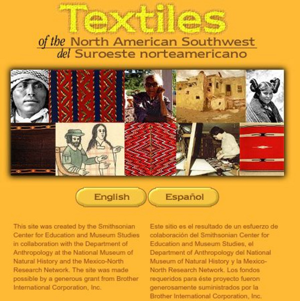
Smithsonian: Textiles of the North American Southwest
This site explores the weaving traditions of the Native American and Hispanic peoples of northern Mexico and the southwestern United States. A gallery of artifacts, timeline, map glossary, and textual descriptions are included. This is a...
Library of Congress
Loc: American Revolution and Its Era: Maps & Charts
A few maps and some good text on the topography and its importance during both the American Revolution and the French and Indian War.
Read Works
Read Works: This Is North America
[Free Registration/Login Required] Intended to support early elementary students' reading comprehension, geographical information about North American is provided in this informational text. Questions that assess multiple reading skills...


